7.6 km
~2 hrs 27 min
569 m
“Trek the scenic Besler Loop in Oberallgäu, Germany, blending alpine beauty, moderate challenge, and rich history.”
Starting your hike near Oberallgäu, Germany, the Besler Loop via Beslerrunde is an 8 km (5 miles) loop trail with an elevation gain of approximately 500 meters (1,640 feet). This trail is rated as medium difficulty, making it suitable for hikers with some experience and a reasonable level of fitness.
### Getting There To reach the trailhead, you can drive or use public transport. If driving, head towards Oberallgäu and look for parking near the Riedberg Pass, which is a well-known landmark in the area. For those using public transport, take a train to Fischen im Allgäu and then a bus towards Balderschwang, getting off at the Riedberg Pass stop. From there, the trailhead is a short walk away.
### Trail Overview The Besler Loop offers a diverse hiking experience with a mix of forested paths, open meadows, and rocky sections. The trail is well-marked, but it's always a good idea to have a navigation tool like HiiKER to ensure you stay on track.
### Key Sections and Landmarks - Initial Ascent: The hike begins with a steady ascent through a dense forest. This section is about 2 km (1.2 miles) long and gains around 200 meters (656 feet) in elevation. The forest is home to a variety of wildlife, including deer and numerous bird species, so keep your eyes and ears open.
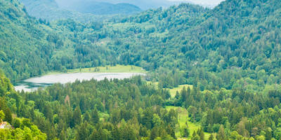
- Open Meadows: After the forest, the trail opens up into beautiful alpine meadows. This is a great spot to take a break and enjoy the panoramic views of the Allgäu Alps. The meadows are often dotted with wildflowers in the spring and summer months.
- Besler Summit: The trail then leads you to the summit of Besler, which stands at 1,679 meters (5,509 feet). This section involves a steeper climb, gaining about 300 meters (984 feet) over 2 km (1.2 miles). The summit offers breathtaking views of the surrounding peaks and valleys. On a clear day, you can see as far as the Swiss Alps.
- Descent and Return: The descent takes you through rocky terrain and back into the forest. This part of the trail can be slippery, especially after rain, so take care with your footing. The final 2 km (1.2 miles) of the trail are relatively flat and lead you back to the trailhead.
### Historical Significance The region around Oberallgäu has a rich history, with evidence of human settlement dating back to the Bronze Age. The Riedberg Pass itself has been a significant route through the Alps for centuries, used by traders and travelers. During World War II, the area saw some military activity, and remnants of old bunkers can still be found in the region.
### Wildlife and Flora The Besler Loop is a haven for nature enthusiasts. In addition to deer and birds, you might spot marmots and chamois in the higher elevations. The flora is equally impressive, with alpine flowers like edelweiss and gentian adding splashes of color to the landscape.
### Practical Tips - Footwear: Sturdy hiking boots are recommended due to the rocky and sometimes slippery terrain. - Weather: Weather in the Alps can change rapidly, so bring layers and be prepared for sudden changes. - Water and Snacks: There are no facilities along the trail, so carry enough water and snacks for the entire hike. - Navigation: While the trail is well-marked, using HiiKER can help you stay on track and provide additional information about the route.
This trail offers a perfect blend of natural beauty, moderate challenge, and historical intrigue, making it a rewarding experience for any hiker.

Reviews
User comments, reviews and discussions about the Besler Loop via Beslerrunde, Germany.
0.0
average rating out of 5
0 rating(s)