The best hikes in Mülheim an der Ruhr
Germany · 10 HiiKER Hikes
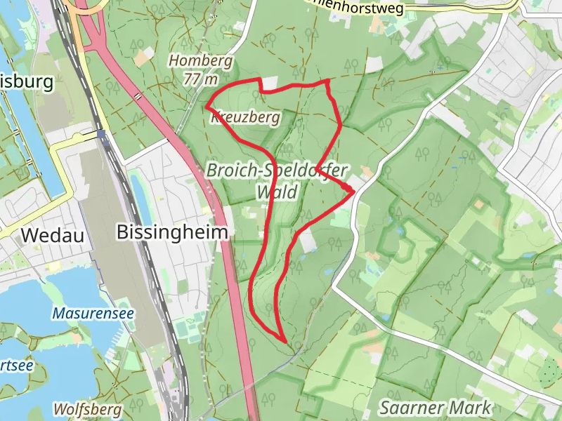
View Hikes on map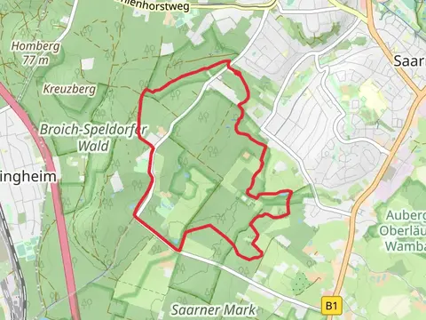


What to expect
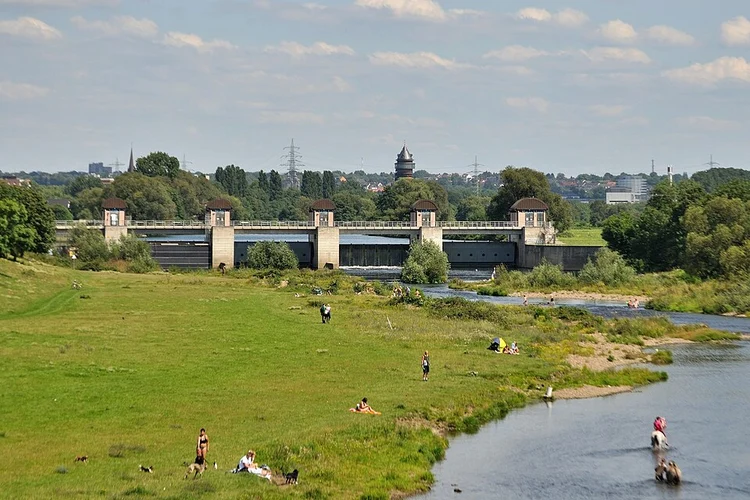
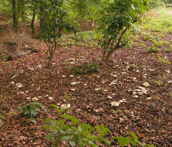
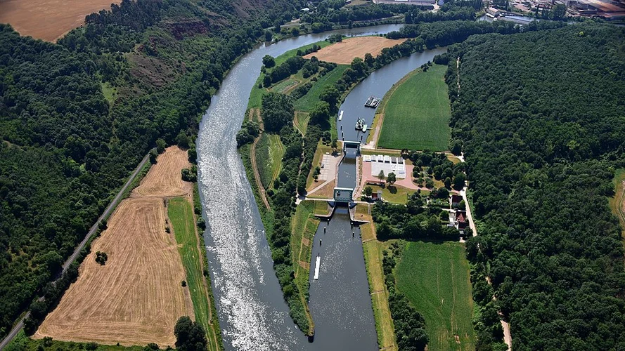
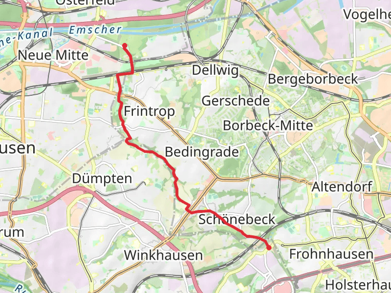
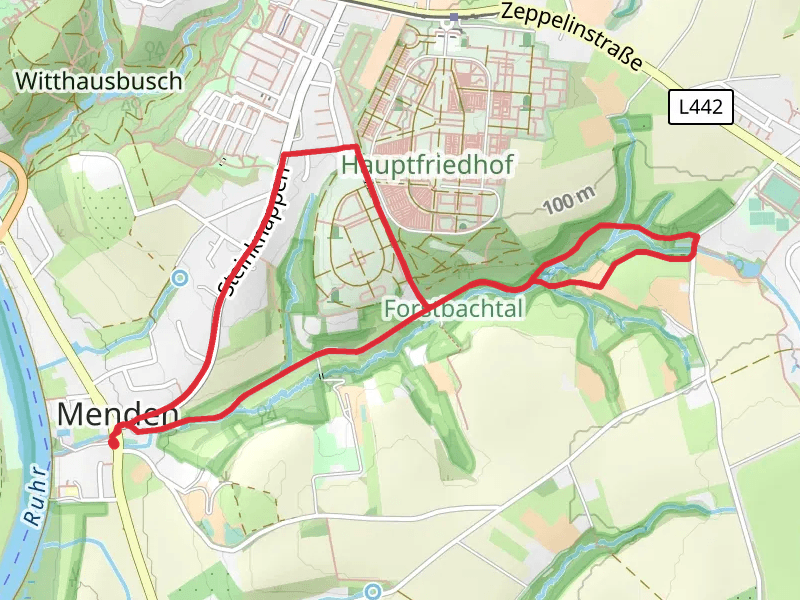
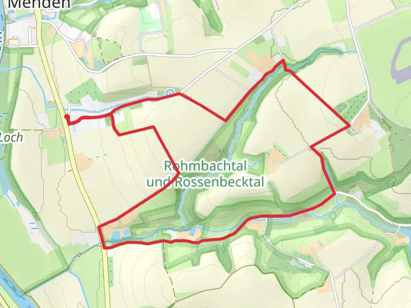
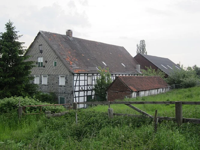
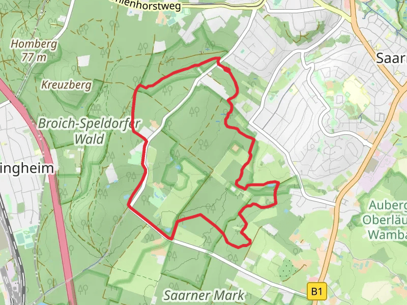
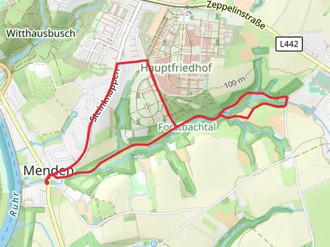
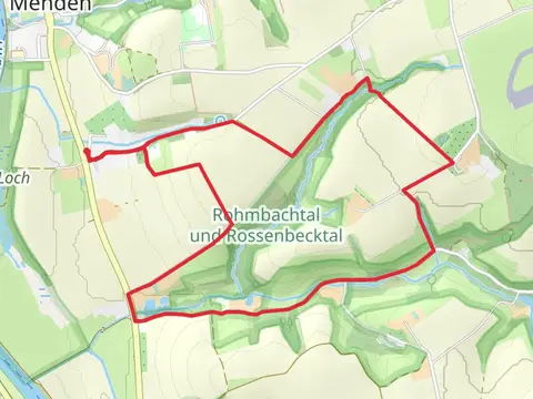
Check out some of the best hiking, walking and backpacking routes in Mülheim an der Ruhr, Germany. The Witthausbusch Loop via Balken Rumbachtal and GeoRoute Ruhr is the most popular trail. The trails have 33 user reviews with great photos and information. The trail with the highest elevation climb is the Ruhrtalhaus and Rumbachtal Loop and the trail with the least amount of climbing is the Schleusenkanal and Ruhr via Muelheim Wasserbf Rundweg and U Styrum Mintard Wasserbf. The longest trail is the Selbeck to Gruner See Walk at 17.9 km. For a shorter adventure you can try the Witthausbusch Loop via Balken Rumbachtal and GeoRoute Ruhr at 3.6 km. Get off line access to Viewpoint, gate, Shelter, and parking locations and much more with a Hiiker subscription.

Be prepared for hiking in Germany with the HiiKER app