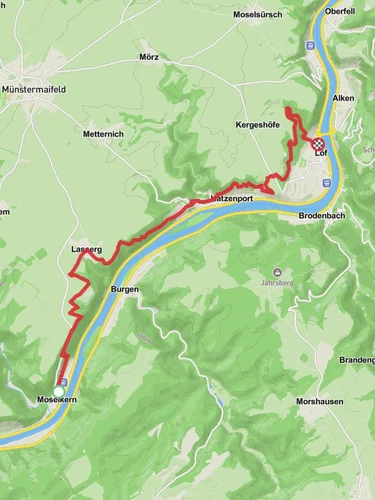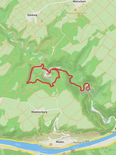
8.8 km
~2 hrs 20 min
355 m
“Explore natural beauty, historical intrigue, and moderate challenges on Mayen-Koblenz's captivating 9 km Schinderhannes Loop.”
Starting your adventure near Mayen-Koblenz, Germany, the Schinderhannes Hohle, Gleichewald, and Hohlenhau Loop is a captivating 9 km (approximately 5.6 miles) loop trail with an elevation gain of around 300 meters (about 984 feet). This medium-difficulty trail offers a blend of natural beauty, historical intrigue, and moderate physical challenge, making it an excellent choice for hikers looking to explore the scenic landscapes of the Rhineland-Palatinate region.
### Getting There
To reach the trailhead, you can either drive or use public transportation. If you're driving, set your GPS to the nearest significant landmark, which is the town of Mayen. From there, follow local signage to the trailhead. For those using public transport, take a train to Mayen West station. From the station, local buses or a short taxi ride can get you to the starting point of the trail.
### Trail Highlights
#### Schinderhannes Hohle
One of the first significant landmarks you'll encounter is the Schinderhannes Hohle, a cave named after the infamous German outlaw, Schinderhannes. This cave is steeped in local folklore and offers a fascinating glimpse into the region's history. The cave is located approximately 2 km (1.2 miles) into the hike, with a gentle ascent leading up to it. The elevation gain here is around 50 meters (164 feet), making it a manageable climb for most hikers.
#### Gleichewald Forest
As you continue, you'll enter the Gleichewald Forest, a dense woodland area that provides a serene and shaded environment. The forest is home to a variety of wildlife, including deer, foxes, and numerous bird species. Keep an eye out for these creatures, especially in the early morning or late afternoon. The forest section spans about 3 km (1.9 miles) and includes a moderate elevation gain of around 100 meters (328 feet).
#### Hohlenhau
The final significant landmark on the loop is Hohlenhau, an open meadow area that offers stunning panoramic views of the surrounding countryside. This section is particularly beautiful in the spring and summer months when wildflowers are in full bloom. The elevation gain here is around 150 meters (492 feet), making it the most challenging part of the hike. However, the breathtaking views make the effort well worth it.
### Navigation and Safety
For navigation, it's highly recommended to use the HiiKER app, which provides detailed maps and real-time GPS tracking to ensure you stay on the correct path. The trail is well-marked, but having a reliable navigation tool can offer additional peace of mind.
### Historical Significance
The region around Mayen-Koblenz is rich in history, dating back to Roman times. The Schinderhannes Hohle itself is named after Johannes Bückler, known as Schinderhannes, who was a notorious outlaw in the late 18th century. His exploits have become part of local legend, adding a layer of historical intrigue to your hike.
### Flora and Fauna
The trail offers a diverse range of flora and fauna. In the forested sections, you'll find oak, beech, and pine trees, while the open meadows are filled with wildflowers and grasses. Wildlife is abundant, so be sure to bring binoculars if you're interested in birdwatching or spotting other animals.
### Final Stretch
The last part of the loop brings you back through a mix of forest and open fields, gradually descending back to the trailhead. This section is relatively easy, allowing you to cool down and reflect on the diverse landscapes and historical sites you've encountered.
By the end of this 9 km journey, you'll have experienced a rich tapestry of natural beauty, historical landmarks, and moderate physical challenges, making it a memorable hike in the heart of Germany's Rhineland-Palatinate region.
Reviews
User comments, reviews and discussions about the Schinderhannes Hohle, Gleichewald and Hohlenhau Loop, Germany.
4.0
average rating out of 5
7 rating(s)


