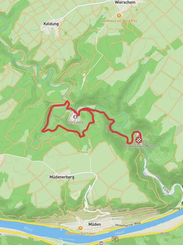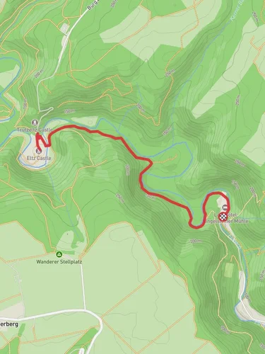
13.2 km
~3 hrs 33 min
546 m
“Embark on a scenic 13-kilometer hike from Moselkern to Loef, featuring Burg Eltz and stunning Mosel Valley views.”
Starting near the picturesque town of Cochem-Zell in Germany, the Moselkern to Loef via Moselsteig trail spans approximately 13 kilometers (8 miles) with an elevation gain of around 500 meters (1,640 feet). This point-to-point trail is rated as medium difficulty, making it suitable for moderately experienced hikers.
### Getting There To reach the trailhead, you can either drive or use public transportation. If driving, head towards Cochem-Zell, where parking is available near the starting point. For those using public transport, take a train to Cochem station, which is well-connected to major cities like Koblenz and Trier. From Cochem, local buses can take you closer to the trailhead.
### Trail Overview The trail begins near the Moselkern train station, a convenient landmark for orientation. As you set off, you'll immediately be immersed in the lush, green landscapes that characterize the Mosel Valley. The initial part of the trail is relatively gentle, allowing you to warm up as you follow the Mosel River.
### Key Landmarks and Sections #### Burg Eltz Approximately 3 kilometers (1.9 miles) into the hike, you'll encounter one of the most significant landmarks: Burg Eltz. This medieval castle, nestled in the hills above the Mosel River, dates back to the 12th century and is remarkably well-preserved. Take some time to explore the castle grounds and perhaps even join a guided tour to delve into its rich history.
#### Forested Ascents After leaving Burg Eltz, the trail begins to ascend more steeply through dense forests. This section covers about 4 kilometers (2.5 miles) and includes an elevation gain of roughly 200 meters (656 feet). The forested path is well-marked but can be slippery after rain, so sturdy hiking boots are recommended.
#### Panoramic Views As you reach the higher elevations, the forest opens up to offer stunning panoramic views of the Mosel Valley. Look out for designated viewpoints where you can pause and take in the scenery. These spots are perfect for a quick rest and some photography.
### Flora and Fauna The Mosel Valley is rich in biodiversity. Keep an eye out for native wildlife such as deer, foxes, and a variety of bird species. The flora is equally impressive, with oak, beech, and pine trees dominating the landscape. During spring and summer, the trail is adorned with wildflowers, adding a splash of color to your hike.
### Descending to Loef The final section of the trail involves a descent towards the town of Loef. This part of the hike is about 6 kilometers (3.7 miles) long and includes a descent of approximately 300 meters (984 feet). The path here is less forested and offers more open views of the surrounding vineyards and the Mosel River.
### Historical Significance The Mosel Valley has been inhabited since Roman times, and the trail passes through areas rich in history. Vineyards along the route have been cultivated for centuries, producing some of Germany's finest wines. The towns of Moselkern and Loef themselves have historical significance, with architecture dating back to the medieval period.
### Navigation For navigation, it's highly recommended to use the HiiKER app, which provides detailed maps and real-time updates to ensure you stay on track. The trail is well-marked, but having a reliable navigation tool can enhance your hiking experience.
### Ending in Loef The trail concludes in the charming town of Loef, where you can relax and enjoy local cuisine or perhaps a glass of Mosel wine. Public transport options are available from Loef train station, making it easy to return to your starting point or continue your journey.
Reviews
User comments, reviews and discussions about the Moselkern to Loef via Moselsteig, Germany.
5.0
average rating out of 5
4 rating(s)


