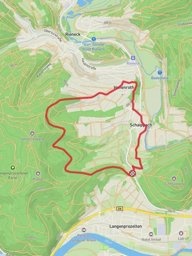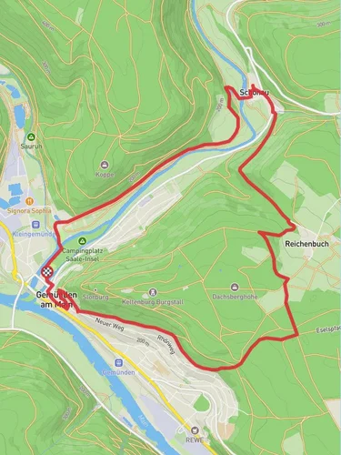
8.5 km
~1 hrs 58 min
167 m
“Explore the scenic 8 km Unterbecken Loop in Main-Spessart, ideal for moderately experienced hikers.”
Starting near Main-Spessart, Germany, the Unterbecken Loop via Sindersbachsee is an 8 km (approximately 5 miles) loop trail with an elevation gain of around 100 meters (328 feet). This trail is rated as medium difficulty, making it suitable for moderately experienced hikers.
### Getting There To reach the trailhead, you can drive or use public transportation. If driving, set your GPS to Main-Spessart, Germany, and look for parking near the trailhead. For those using public transport, take a train to the nearest station in Lohr am Main, and from there, you can catch a local bus or taxi to the trailhead.
### Trail Overview The trail begins with a gentle ascent through a mixed forest, offering a serene start to your hike. As you progress, you'll encounter the Sindersbachsee, a picturesque lake that serves as a perfect spot for a short break. The lake is located approximately 2 km (1.2 miles) into the hike, and the elevation gain to this point is minimal, making it an easy start.
### Key Landmarks and Nature - Sindersbachsee: This tranquil lake is surrounded by lush greenery and is home to various bird species. It's an ideal spot for birdwatching and photography. - Unterbecken Reservoir: About 4 km (2.5 miles) into the hike, you'll reach the Unterbecken Reservoir. This man-made lake is part of the region's water management system and offers stunning views of the surrounding landscape.
### Flora and Fauna The trail is rich in biodiversity. You'll walk through dense forests of oak, beech, and pine trees. Keep an eye out for local wildlife, including deer, foxes, and a variety of bird species. The area is also known for its wildflowers, especially in the spring and summer months.
### Historical Significance The Main-Spessart region has a rich history dating back to the Roman era. As you hike, you'll come across remnants of old Roman roads and possibly even ancient boundary stones. The area was also significant during the medieval period, serving as a trade route.
### Navigation and Safety The trail is well-marked, but it's always a good idea to have a reliable navigation tool. Use HiiKER to download the trail map and keep track of your progress. The trail can be muddy after rain, so wear appropriate footwear. Also, bring enough water and snacks, as there are no facilities along the route.
### Final Stretch The last 2 km (1.2 miles) of the trail involve a gentle descent back to the trailhead. This section offers panoramic views of the Main-Spessart region, making it a scenic end to your hike.
Reviews
User comments, reviews and discussions about the Unterbecken Loop via Sindersbachsee, Germany.
5.0
average rating out of 5
5 rating(s)


