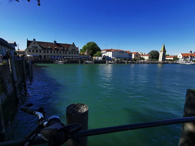
The best hikes in Lindau
Germany · 40 HiiKER Hikes
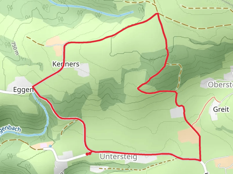
View Hikes on map
What to expect
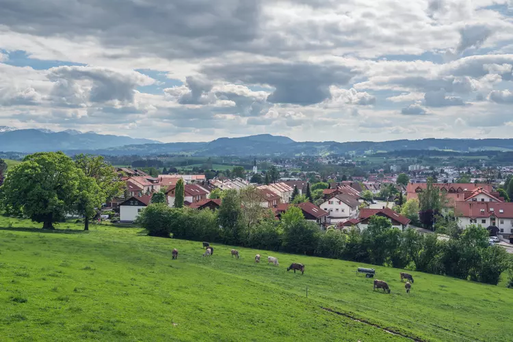
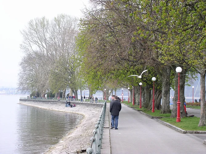
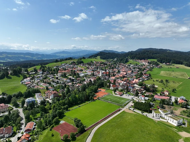
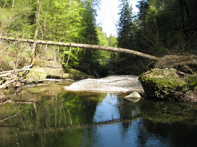
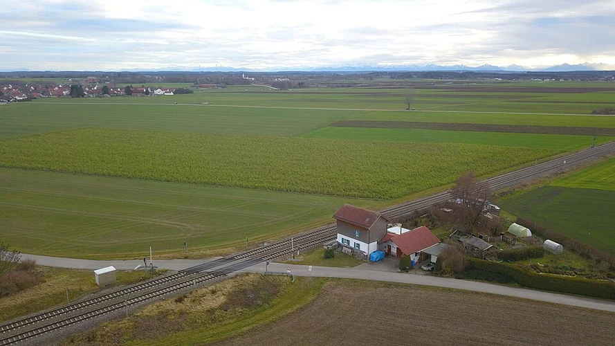
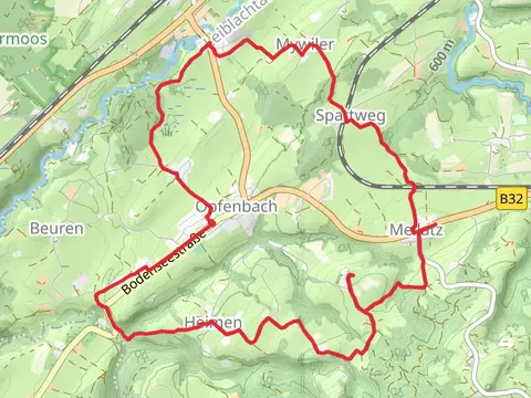
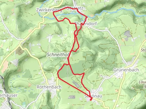
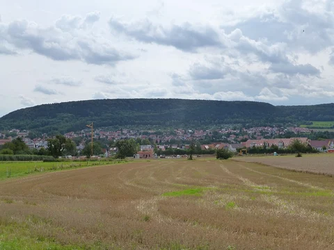
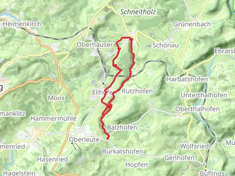
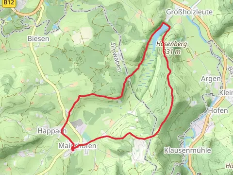
Check out some of the best hiking, walking and backpacking routes in Lindau, Germany. The Maximiliansweg is the most popular trail. The trails have 80 user reviews with great photos and information. There are trails of various difficulty levels including easy, medium, and extra difficult. The trail with the highest elevation climb is the Maximiliansweg and the trail with the least amount of climbing is the Lindau to Bregenz Scenic Walk. The longest trail is the Wasserläufer - Route at 374.3 km. For a shorter adventure you can try the Eil Gut Halle and Pulverschanze Loop via Hafenplatz at 2.0 km. Get off line access to Shop, Town, Shelter, and Restaurant locations and much more with a Hiiker subscription.

Be prepared for hiking in Germany with the HiiKER app