Download
3D Flyover
Add to list
More
367.5 km
~17 days
15483 m
Multi-Day
“Embark on the scenic Maximiliansweg, a trail steeped in history and natural splendors, stretching from Lindau to Berchtesgaden.”
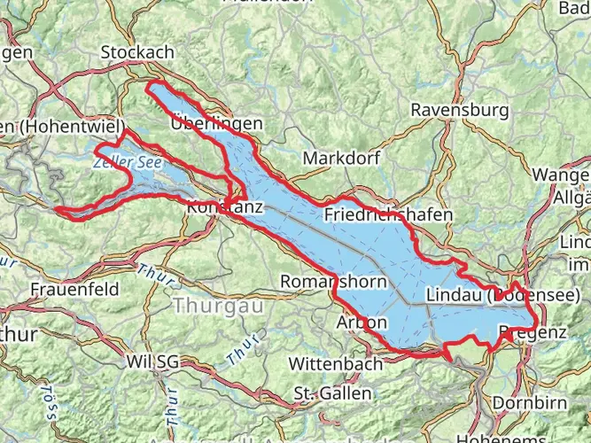
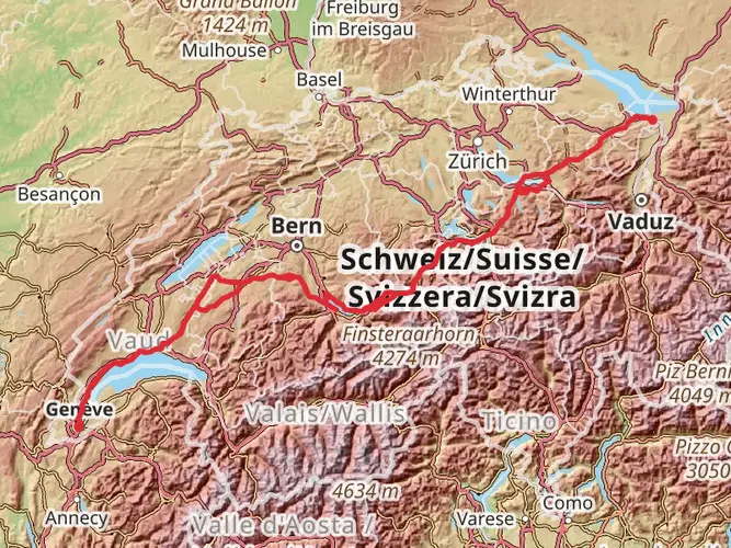
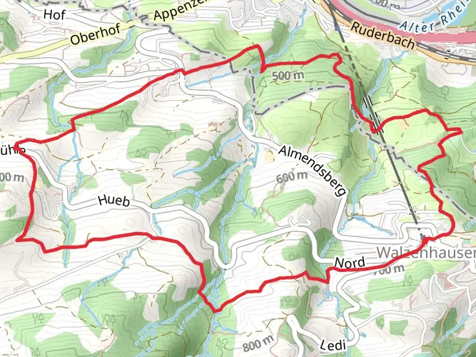
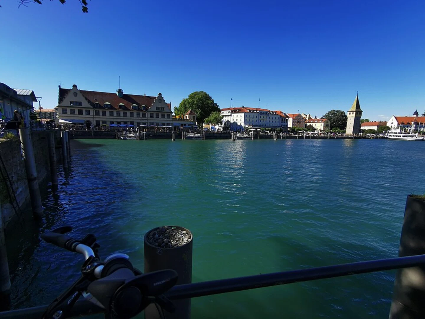
Maximiliansweg is a captivating long-distance hiking trail that spans approximately 367 kilometers (about 228 miles) with an elevation gain of around 15,400 meters (approximately 50,525 feet). This point-to-point trail begins near the picturesque town of Lindau, nestled on the edge of Lake Constance in Germany, and stretches all the way to the town of Berchtesgaden, offering a diverse and enriching hiking experience.
Getting to the Trailhead To reach the starting point near Lindau, hikers can utilize public transportation options such as trains and buses that service the area. For those driving, Lindau is well-connected by road, and parking can be found in the vicinity of the trailhead. Once in Lindau, the trailhead is accessible by following local signage directing hikers to the beginning of Maximiliansweg.
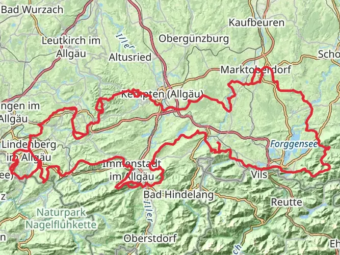
Trail Overview and Landmarks The trail is named after King Maximilian II of Bavaria, who once traversed this route in the mid-19th century. As hikers embark on this journey, they will traverse a variety of landscapes, including lush forests, alpine meadows, and rugged mountain terrain. The path leads through the Allgäu Alps, offering breathtaking views and challenging ascents.
One of the early significant landmarks is the ascent of Hochgrat, the highest peak in the Nagelfluhkette range, which provides panoramic views of the surrounding Alps. The trail continues to wind through the Ammergebirge range, with a notable stop at the famous fairytale castle of Neuschwanstein, a 19th-century palace that is one of the most visited castles in Germany and a symbol of romantic architecture.
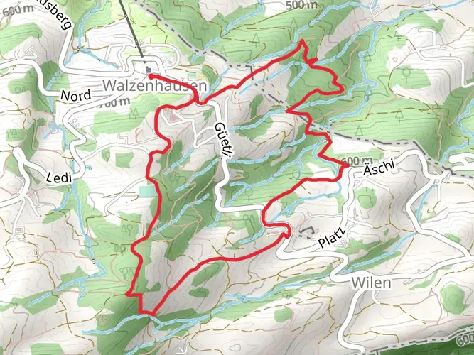
Flora and Fauna Throughout the journey, hikers will encounter a rich array of flora and fauna. The lower elevations are home to mixed forests, while higher altitudes boast alpine flowers and grasses. Wildlife sightings may include chamois, marmots, and golden eagles, with the higher regions providing a habitat for the elusive alpine ibex.
Historical Significance The trail not only offers natural beauty but also a glimpse into the region's history. Hikers will pass through charming Bavarian villages and towns, each with its own unique heritage. Historical sites along the way include ancient churches, monasteries, and remnants of World War II fortifications near Berchtesgaden.
Navigation and Preparation For navigation, hikers are encouraged to use the HiiKER app, which provides detailed maps and trail information. Given the trail's length and varying elevations, it is essential to be well-prepared with appropriate gear, including sturdy hiking boots, weather-appropriate clothing, and sufficient food and water supplies. Accommodations along the route range from rustic mountain huts to comfortable guesthouses, allowing for a range of overnight options.
Conclusion Maximiliansweg offers a unique blend of natural beauty, physical challenge, and historical exploration. Whether seeking solitude in nature or a deeper connection with the cultural landscape of Bavaria, this trail promises an unforgettable adventure for those who undertake its journey.

Comments and Reviews
User comments, reviews and discussions about the Maximiliansweg, Germany.
4.5
average rating out of 5
4 rating(s)