Download
Preview
Add to list
More
13.0 km
~3 hrs 2 min
261 m
Point-to-Point
“Embark on a scenic, 13 km adventure from Lindenberg im Allgäu to Eglofs, blending natural beauty and history.”
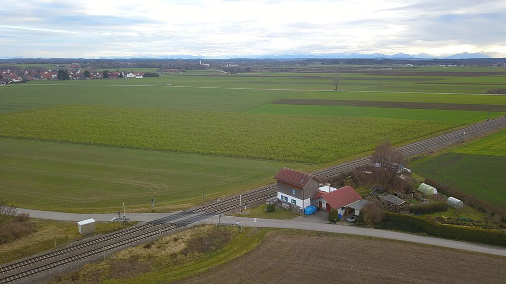
Starting near the picturesque town of Lindau, Germany, the trail from Lindenberg im Allgäu to Eglofs via Lindenberg-Eglofs offers a delightful 13 km (approximately 8 miles) journey through the scenic landscapes of the Allgäu region. With an elevation gain of around 200 meters (656 feet), this point-to-point trail is rated as medium difficulty, making it suitable for moderately experienced hikers.
Getting There
To reach the trailhead, you can either drive or use public transport. If driving, head towards Lindenberg im Allgäu, which is well-connected by road. For those opting for public transport, take a train to Lindau and then a local bus to Lindenberg im Allgäu. The trailhead is conveniently located near the town center, making it easily accessible.
Trail Overview
The trail begins in Lindenberg im Allgäu, a charming town known for its beautiful landscapes and historical significance. As you set off, you'll traverse through lush meadows and dense forests, offering a serene escape from urban life. The initial part of the trail is relatively flat, allowing you to ease into the hike.
Significant Landmarks and Nature
Around the 3 km (1.86 miles) mark, you'll come across the first significant landmark, the Lindenberg Chapel. This quaint chapel offers a peaceful spot for a short break and a chance to soak in the surrounding beauty. Continuing on, the trail gradually ascends, providing panoramic views of the Allgäu Alps in the distance.
At approximately 6 km (3.73 miles), you'll reach a dense forest area. This section is particularly rich in wildlife, so keep an eye out for deer, foxes, and a variety of bird species. The forest also offers a cool respite during warmer months.
Historical Significance
The region is steeped in history, with several points of interest along the way. Around the 9 km (5.59 miles) mark, you'll pass by an old Roman road, a testament to the area's historical importance as a trade route. This section of the trail is relatively flat, allowing you to appreciate the historical context without too much physical exertion.
Final Stretch to Eglofs
As you approach the final 4 km (2.48 miles) towards Eglofs, the trail descends gently, offering stunning views of the surrounding valleys. Eglofs itself is a picturesque village with a rich history, featuring traditional Bavarian architecture and several historical buildings.
Navigation and Safety
For navigation, it's highly recommended to use the HiiKER app, which provides detailed maps and real-time updates. The trail is well-marked, but having a reliable navigation tool ensures you stay on track.
Practical Tips
- Wear sturdy hiking boots, as some sections can be uneven.
- Carry enough water and snacks, especially during warmer months.
- Check the weather forecast before setting out, as conditions can change rapidly in the mountains.
- Be mindful of local wildlife and respect their habitats.
This trail offers a perfect blend of natural beauty, historical landmarks, and moderate physical challenge, making it a rewarding experience for any hiker.

Comments and Reviews
User comments, reviews and discussions about the Lindenberg im Allgaeu to Eglofs via Lindenberg-Eglofs, Germany.
4.5
average rating out of 5
2 rating(s)