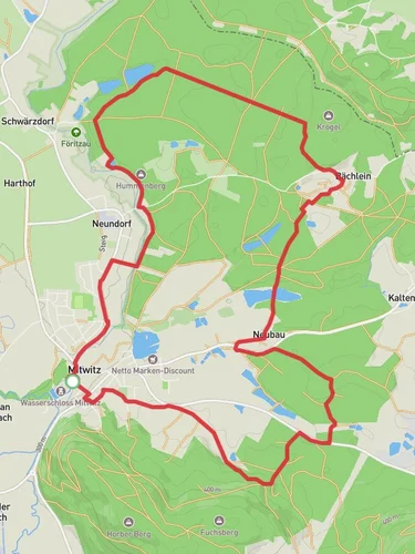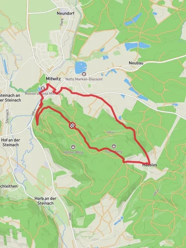
6.6 km
~1 hrs 37 min
174 m
“Explore history and nature on the 7km Klausenquellen Weg loop trail near charming Kronach, Germany.”
Starting near the charming town of Kronach in Germany, the Klausenquellen Weg is a delightful loop trail that spans approximately 7 kilometers (4.35 miles) with an elevation gain of around 100 meters (328 feet). This trail is rated as medium difficulty, making it suitable for moderately experienced hikers.
### Getting There To reach the trailhead, you can either drive or use public transport. If you're driving, set your GPS to Kronach, and you'll find ample parking options near the town center. For those using public transport, take a train to Kronach Bahnhof (Kronach Train Station). From there, it's a short walk to the trailhead.
### Trail Overview The trail begins near Kronach, a town known for its medieval architecture and rich history. As you start your hike, you'll immediately notice the well-marked paths that guide you through a variety of landscapes, including dense forests, open meadows, and serene streams.
### Significant Landmarks - Kronach Fortress (Festung Rosenberg): Approximately 1 kilometer (0.62 miles) into the hike, you'll catch glimpses of the Kronach Fortress, a well-preserved medieval fortress that dates back to the 13th century. It's worth taking a short detour to explore this historical site. - Klausenquellen Springs: Around the 3-kilometer (1.86 miles) mark, you'll come across the Klausenquellen Springs. These natural springs are a perfect spot to take a break and enjoy the tranquil surroundings. The water is crystal clear and often attracts local wildlife, including deer and various bird species.
### Nature and Wildlife The trail is a haven for nature enthusiasts. The dense forests are home to a variety of flora, including oak, beech, and pine trees. In the spring and summer months, the meadows are adorned with wildflowers, making it a picturesque setting for photography. Wildlife is abundant, and you might spot deer, foxes, and a variety of bird species, including woodpeckers and owls.
### Navigation For navigation, it's highly recommended to use the HiiKER app, which provides detailed maps and real-time updates. The trail is well-marked, but having a reliable navigation tool can enhance your hiking experience and ensure you stay on the right path.
### Elevation and Terrain The elevation gain of around 100 meters (328 feet) is gradual, making the trail accessible for most hikers. The terrain varies from forest paths to gravel roads and meadow trails, offering a diverse hiking experience. Some sections can be a bit steep, so sturdy hiking boots are recommended.
### Historical Significance Kronach and its surroundings have a rich history dating back to the medieval period. The Kronach Fortress played a significant role in various historical events, including the Thirty Years' War. As you hike, you'll come across several informational plaques that provide insights into the region's history and its significance.
### Final Stretch As you near the end of the loop, the trail gently descends back towards Kronach. The final stretch offers beautiful views of the town and its surrounding landscapes, making it a perfect way to conclude your hike.
Whether you're a history buff, a nature lover, or simply looking for a moderately challenging hike, the Klausenquellen Weg offers a bit of everything.
Reviews
User comments, reviews and discussions about the Klausenquellen Weg, Germany.
5.0
average rating out of 5
3 rating(s)


