6.7 km
~1 hrs 21 min
6 m
“Explore a 7 km loop of natural beauty and medieval history near Kreis Wesel, Germany.”
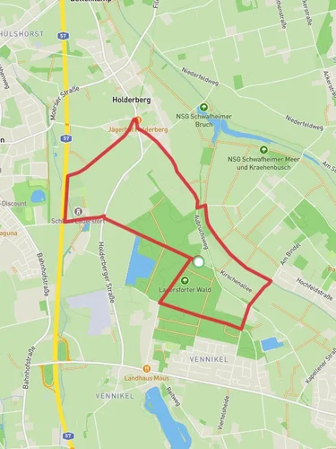
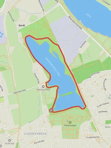
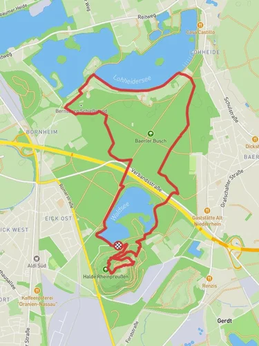
Starting near Kreis Wesel, Germany, this 7 km (approximately 4.3 miles) loop trail offers a delightful mix of natural beauty and historical intrigue. With an elevation gain of around 0 meters, this trail is accessible to a wide range of hikers, though it is rated as medium difficulty due to its length and terrain.
### Getting There To reach the trailhead, you can drive or use public transport. If driving, set your GPS to Kreis Wesel, Germany, and look for parking near the Niederrheinweg. For those using public transport, take a train to Wesel Station and then a local bus to the nearest stop at Niederrheinweg. From there, it's a short walk to the trailhead.
### Trail Navigation For navigation, the HiiKER app is highly recommended. It provides detailed maps and real-time updates to ensure you stay on track.
### Trail Highlights #### Stadgraben The trail begins with a gentle walk along the Stadgraben, a historic moat that once served as a defensive barrier for the town. This section is rich in history, offering glimpses into the medieval past of the region. The moat is now a serene waterway, home to various waterfowl and aquatic plants.
#### Moersbach As you continue, you'll encounter the Moersbach, a picturesque stream that meanders through the landscape. This part of the trail is particularly scenic, with lush greenery and the soothing sounds of flowing water. Keep an eye out for local wildlife, including deer and various bird species.
### Flora and Fauna The trail is abundant with native flora, including oak, beech, and pine trees. In spring and summer, wildflowers such as daisies and buttercups add splashes of color to the landscape. Birdwatchers will be delighted by the variety of species, including woodpeckers, finches, and herons.
### Historical Significance The Niederrheinweg region has a rich history dating back to medieval times. The Stadgraben moat is a remnant of the area's defensive structures, while the surrounding fields and forests have been cultivated and managed for centuries. This historical backdrop adds a layer of depth to your hiking experience, making each step a walk through time.
### Practical Information - Distance: 7 km (4.3 miles) - Elevation Gain: 0 meters (0 feet) - Trail Type: Loop - Difficulty: Medium
### Tips for Hikers - Wear comfortable hiking shoes, as some sections can be uneven. - Bring water and snacks, especially during warmer months. - Use the HiiKER app for navigation to ensure you stay on the correct path. - Check the weather forecast before heading out, as the trail can become muddy after rain.
This trail offers a perfect blend of natural beauty and historical significance, making it a rewarding experience for any hiker.
Reviews
User comments, reviews and discussions about the Stadgraben and Moersbach via Niederrheinweg, Germany.
0.0
average rating out of 5
0 rating(s)


