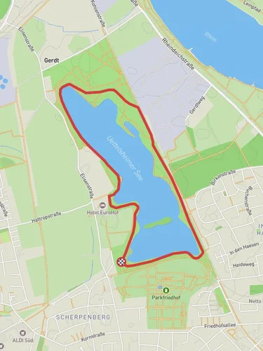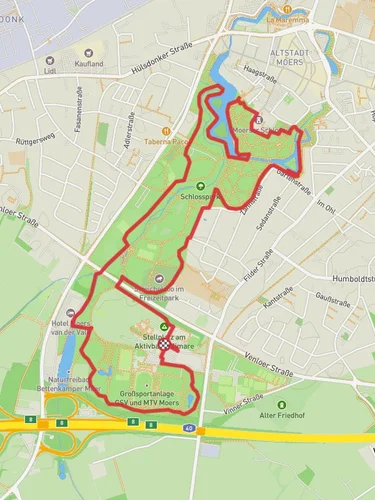
Halde Rheinpreußen, Waldsee, Bareler Busch and Lohheidersee Loop
10.4 km
~2 hrs 15 min
114 m
“Explore a scenic 10 km loop in Kreis Wesel, blending industrial history, lush forests, and serene lakes.”
Starting near Kreis Wesel, Germany, this 10 km (approximately 6.2 miles) loop trail offers a moderate hiking experience with an elevation gain of around 100 meters (328 feet). The trailhead is easily accessible by both public transport and car. If you're taking public transport, the nearest significant landmark is the Moers train station, from where you can catch a local bus to the vicinity of the trailhead. For those driving, parking is available near the starting point.
### Trail Overview
The trail begins with a gentle ascent, leading you through the Halde Rheinpreußen, an artificial hill created from mining debris. This area is not only a testament to the region's industrial past but also offers panoramic views of the surrounding landscape. The climb is gradual, making it accessible for most hikers, but be prepared for some uneven terrain.
### Key Landmarks and Natural Features
Halde Rheinpreußen: As you ascend, you'll notice the iconic "Geleucht" mining lamp sculpture at the summit. This landmark is a tribute to the miners who once worked in the area and provides a great photo opportunity. The views from here are particularly stunning at sunrise or sunset.
Waldsee: About 3 km (1.9 miles) into the hike, you'll reach Waldsee, a serene lake surrounded by lush forest. This is a perfect spot for a short break, where you can enjoy the tranquility and perhaps spot some local wildlife, such as ducks and swans.
Bareler Busch: Continuing on, the trail takes you through the Bareler Busch, a dense forest area rich in biodiversity. Keep an eye out for various bird species and small mammals. The forest floor is often carpeted with wildflowers in the spring, adding a splash of color to your hike.
Lohheidersee: Approximately 7 km (4.3 miles) into the hike, you'll arrive at Lohheidersee, another picturesque lake. This area is popular for birdwatching, so bring your binoculars if you're a bird enthusiast. The trail around the lake is relatively flat, providing a nice contrast to the earlier ascent.
### Navigation and Safety
Using the HiiKER app is highly recommended for navigation, as it provides detailed maps and real-time updates. The trail is well-marked, but having a digital guide can be invaluable, especially in the denser forest sections.
### Historical Significance
The region around Kreis Wesel has a rich industrial history, particularly in mining. The Halde Rheinpreußen itself is a remnant of this era, transformed into a recreational area that symbolizes the region's transition from industrial to natural landscapes. The "Geleucht" sculpture is a poignant reminder of the area's past, making this hike not just a natural adventure but also a historical journey.
### Practical Information
- Distance: 10 km (6.2 miles) - Elevation Gain: 100 meters (328 feet) - Difficulty: Medium - Trail Type: Loop - Nearest Public Transport: Moers train station - Parking: Available near the trailhead
This trail offers a balanced mix of natural beauty, historical landmarks, and moderate physical challenge, making it a rewarding experience for hikers of all levels.
Reviews
User comments, reviews and discussions about the Halde Rheinpreußen, Waldsee, Bareler Busch and Lohheidersee Loop, Germany.
5.0
average rating out of 5
7 rating(s)


