The best hikes in Kreis Siegen-Wittgenstein
Germany · 54 HiiKER Hikes
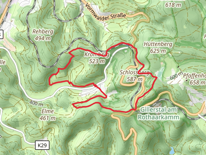
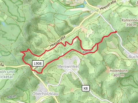
View Hikes on map

What to expect
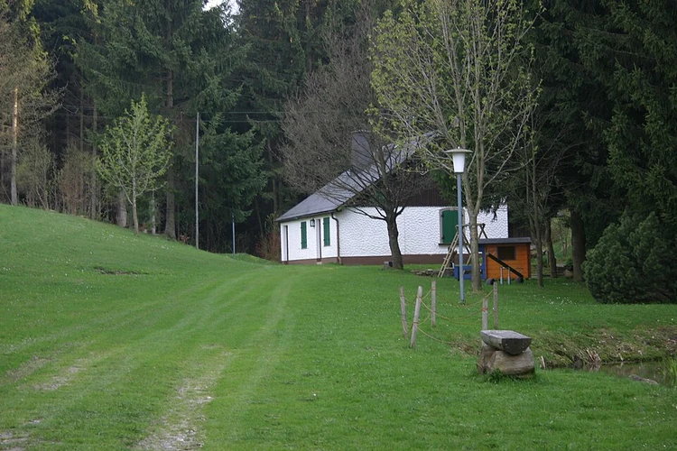
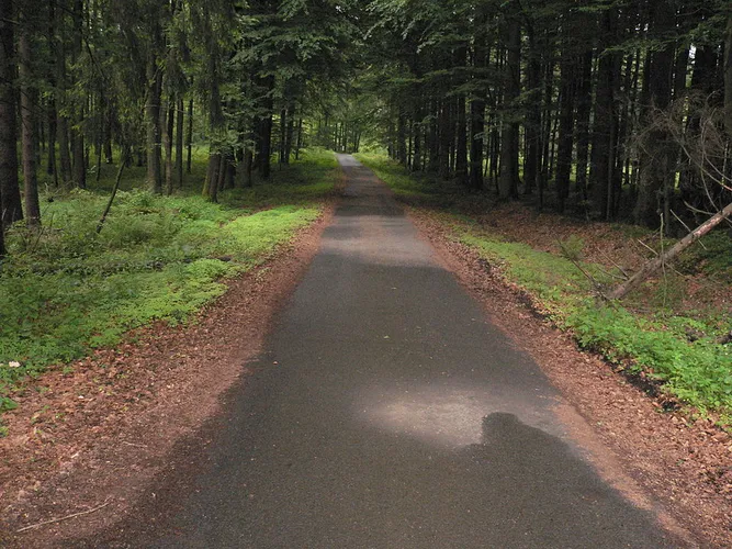
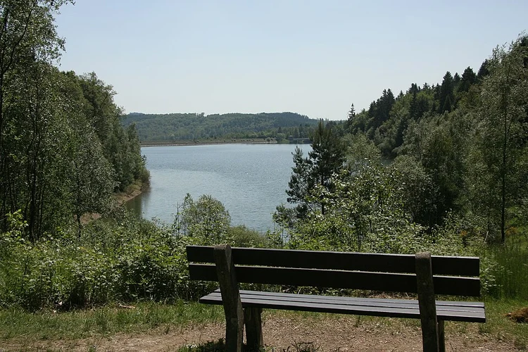
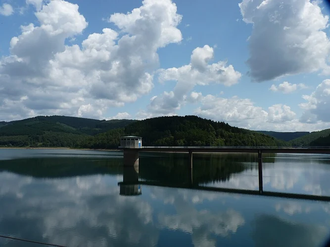
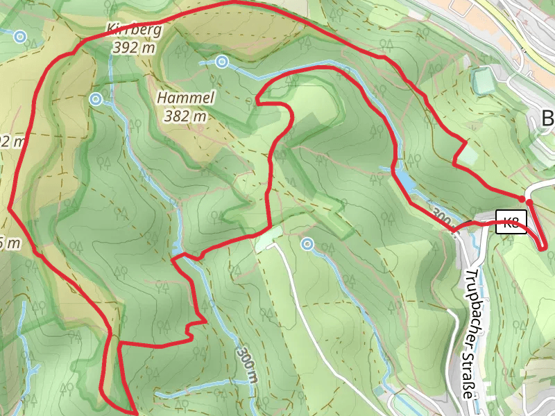
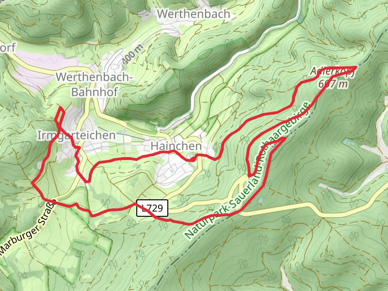
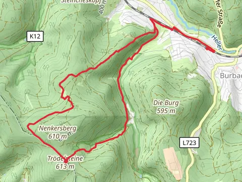
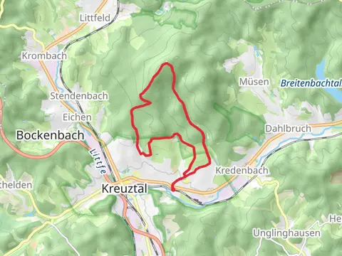
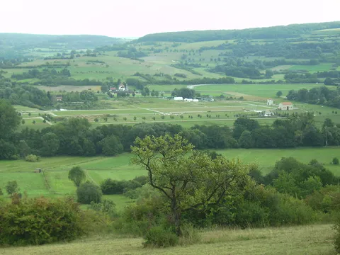
Check out some of the best hiking, walking and backpacking routes in Kreis Siegen-Wittgenstein, Germany. The Siegerland-Höhenring is the most popular trail. The trails have 123 user reviews with great photos and information. There are trails of various difficulty levels including easy and medium. The trail with the highest elevation climb is the Bad Berleburg to Langewiese Walk via Saukopf and the trail with the least amount of climbing is the Herborner Straße Walk. The longest trail is the Ederhöhenweg at 223.9 km. For a shorter adventure you can try the Herborner Straße Walk at 2.8 km. Get off line access to Restaurant, Town, Peak, and Shelter locations and much more with a Hiiker subscription.

Be prepared for hiking in Germany with the HiiKER app