The best hikes in Ilm-Kreis
Germany · 31 HiiKER Hikes
View Hikes on map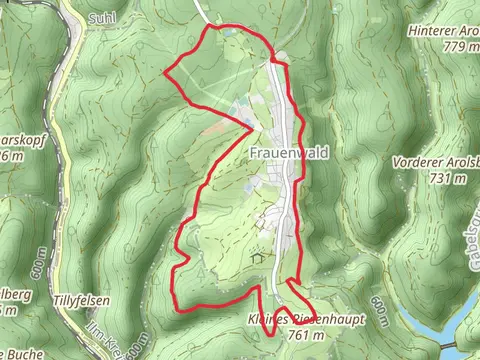
What to expect
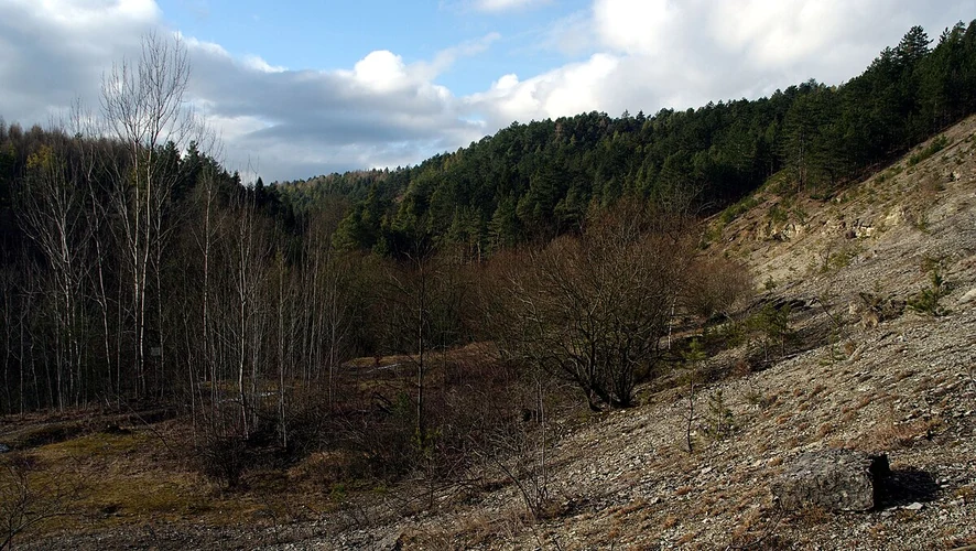
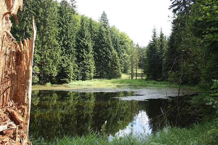
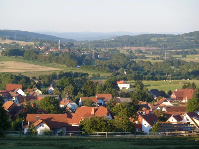
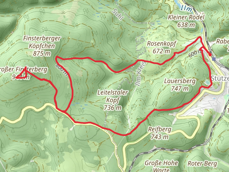
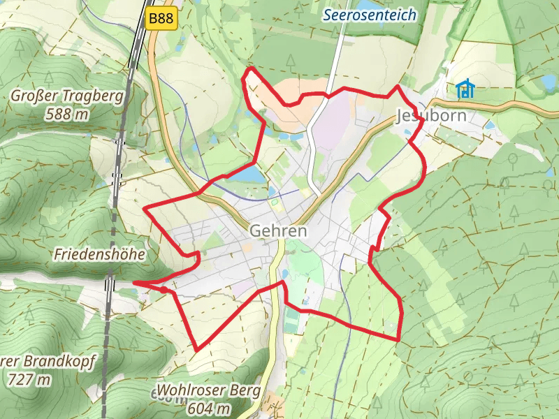
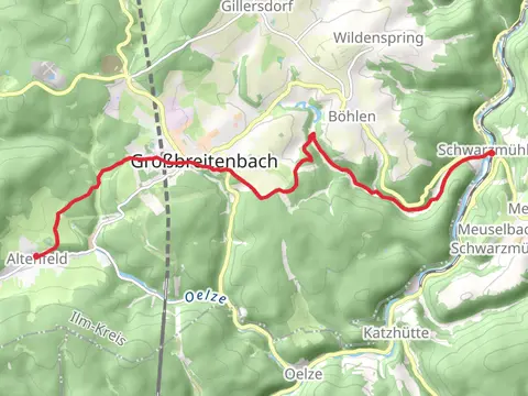
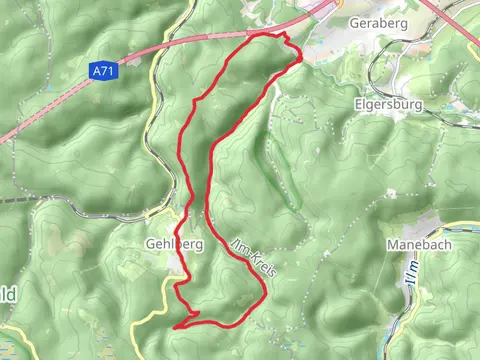
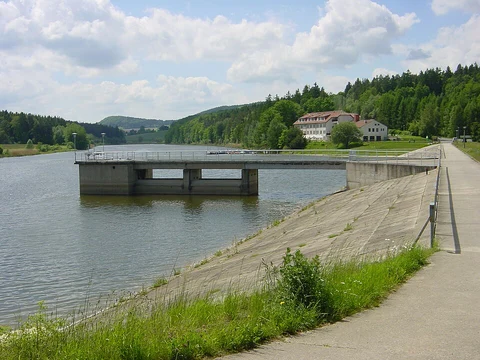
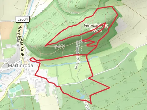
Check out some of the best hiking, walking and backpacking routes in Ilm-Kreis, Germany. The Oberer Berggrabenweg and Roter Strich Loop is the most popular trail. The trails have 40 user reviews with great photos and information. There are trails of various difficulty levels including easy and medium. The trail with the highest elevation climb is the Finsterberghuette, Grosser Fiensterberg and Taubach via Terrainkurweg and the trail with the least amount of climbing is the Gustav-Freytag Weg and Graf-Gleichen Weg. The longest trail is the Gehlberg Loop via Bettelmannskopf at 17.4 km. For a shorter adventure you can try the Schloßberg Kanzel and Langer Grunds Teich Loop via Alter Floßgraben at 3.3 km. Get off line access to gate, Peak, Shelter, and parking locations and much more with a Hiiker subscription.

Be prepared for hiking in Germany with the HiiKER app