7.8 km
~2 hrs 1 min
283 m
“Explore the scenic 8 km Hollerkopf, Herzberg, and Roßkopf Loop, offering moderate challenges and historical intrigue.”
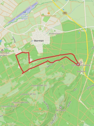
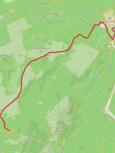
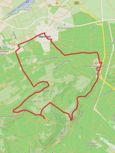
Starting near Hochtaunuskreis, Germany, the Hollerkopf, Herzberg, and Roßkopf Loop is an 8 km (approximately 5 miles) trail with an elevation gain of around 200 meters (656 feet). This loop trail is rated as medium difficulty, making it suitable for moderately experienced hikers.
### Getting There To reach the trailhead, you can drive or use public transport. If driving, set your GPS to Obernhain, a small village in the Hochtaunuskreis district. There is parking available near the trailhead. For those using public transport, take a train to the nearest major station, Bad Homburg, and then a local bus to Obernhain. The trailhead is a short walk from the bus stop.
### Trail Overview The trail begins in the charming village of Obernhain, where you can find a few local shops and cafes to grab a quick snack or coffee before you start. As you set off, the path initially takes you through a dense forest, offering a cool and shaded environment, especially pleasant during the warmer months.
### Key Sections and Landmarks
#### Hollerkopf The first significant landmark is Hollerkopf, a modest peak that offers a gentle ascent. The trail here is well-marked and relatively easy to navigate. As you climb, you'll notice a variety of flora, including oak and beech trees. Keep an eye out for local wildlife such as deer and various bird species. The summit of Hollerkopf provides a nice vantage point to take in the surrounding landscape.
#### Herzberg Continuing on, you will reach Herzberg, the highest point on this loop. The ascent to Herzberg is a bit steeper, but the trail remains manageable. Herzberg is known for its historical significance; it was once a strategic lookout point. At the summit, you'll find a small observation tower. Climb to the top for panoramic views of the Taunus mountain range and the distant skyline of Frankfurt.
#### Roßkopf The final peak on this loop is Roßkopf. The trail to Roßkopf is less steep compared to Herzberg, making for a more relaxed hike. This section is particularly scenic, with open meadows and occasional glimpses of the surrounding villages. Roßkopf is a great spot for a picnic, so consider packing a light meal to enjoy here.
### Navigation and Safety The trail is well-marked, but it's always a good idea to have a reliable navigation tool. HiiKER is an excellent app for this purpose, providing detailed maps and real-time GPS tracking. Make sure to wear sturdy hiking boots, as some sections can be rocky and uneven. Carry enough water, especially during the summer months, and consider bringing a light jacket as the weather can change rapidly in the mountains.
### Flora and Fauna Throughout the hike, you'll encounter a diverse range of plant life, from dense forests to open meadows. The area is home to various wildlife, including deer, foxes, and numerous bird species. Spring and early summer are particularly beautiful times to hike, as the wildflowers are in full bloom.
### Historical Significance The Taunus region has a rich history dating back to Roman times. The area around Herzberg was used as a lookout point due to its strategic elevation. You might come across remnants of old fortifications and ancient paths that have been used for centuries.
This loop trail offers a mix of natural beauty, moderate physical challenge, and historical intrigue, making it a rewarding hike for those looking to explore the Taunus region.
Reviews
User comments, reviews and discussions about the Hollerkopf, Herzberg and Roßkopf Loop - Obernhain, Germany.
4.0
average rating out of 5
1 rating(s)


