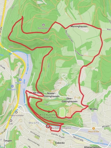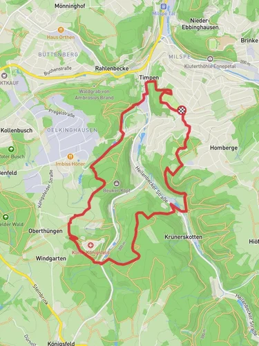
7.2 km
~1 hrs 53 min
263 m
“Experience a 7 km scenic loop with historical landmarks, diverse wildlife, and vibrant landscapes in Ennepe-Ruhr-Kreis.”
Starting near Ennepe-Ruhr-Kreis, Germany, the Ennepetaler Rundweg and Friedhof Weg is a scenic loop trail that spans approximately 7 kilometers (4.35 miles) with an elevation gain of around 200 meters (656 feet). This medium-difficulty trail offers a blend of natural beauty, historical landmarks, and a touch of local culture, making it a rewarding experience for hikers of various skill levels.
### Getting There To reach the trailhead, you can either drive or use public transportation. If you're driving, set your GPS to Ennepe-Ruhr-Kreis, Germany, and look for parking options near the starting point. For those using public transport, the nearest significant landmark is the Ennepetal (Gevelsberg) train station. From there, you can take a local bus or taxi to the trailhead.
### Trail Overview The trail begins with a gentle ascent, allowing you to ease into the hike. As you progress, you'll encounter a mix of forested areas and open meadows, offering a variety of landscapes to enjoy. The initial 2 kilometers (1.24 miles) are relatively easy, with a gradual elevation gain of about 50 meters (164 feet).
### Historical Significance One of the highlights of this trail is its historical significance. The region around Ennepe-Ruhr-Kreis has a rich history dating back to medieval times. As you hike, you'll come across several old stone markers and remnants of ancient pathways that were once used by traders and travelers. These historical elements add a unique layer to your hiking experience, making it not just a physical journey but also a walk through time.
### Key Landmarks Around the 3-kilometer (1.86-mile) mark, you'll reach the Friedhof Weg, a historical cemetery that offers a peaceful resting spot. This area is not only a place of reflection but also provides a glimpse into the local history and culture. The cemetery is well-maintained and features several old gravestones with inscriptions that tell stories of the past.
### Nature and Wildlife As you continue, the trail takes you through dense forests where you can expect to see a variety of wildlife. Keep an eye out for deer, foxes, and a plethora of bird species. The forested sections are particularly beautiful in the fall when the leaves change color, creating a vibrant tapestry of reds, oranges, and yellows.
### Navigation and Safety The trail is well-marked, but it's always a good idea to have a reliable navigation tool. HiiKER is an excellent app for this purpose, providing detailed maps and real-time updates to ensure you stay on track. The trail can get muddy after rain, so waterproof hiking boots are recommended. Also, carry enough water and snacks, as there are limited facilities along the route.
### Final Stretch The last 2 kilometers (1.24 miles) of the trail involve a moderate descent, bringing you back to the starting point. This section offers panoramic views of the surrounding countryside, making it a perfect spot for some final photos before you complete your hike.
By the end of this 7-kilometer journey, you'll have experienced a rich tapestry of natural beauty, historical landmarks, and local wildlife, all within the serene setting of Ennepe-Ruhr-Kreis.
Reviews
User comments, reviews and discussions about the Ennepetaler Rundweg and Friedhof Weg, Germany.
5.0
average rating out of 5
1 rating(s)


