8.8 km
~1 hrs 59 min
143 m
“The Rundwanderweg Lindenhardt offers a picturesque 9 km hike with lush forests, historical landmarks, and scenic views.”
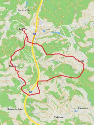
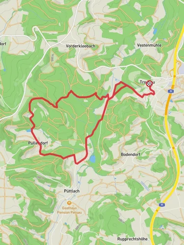
Starting near the charming town of Bayreuth, Germany, the Rundwanderweg Lindenhardt is a delightful loop trail that spans approximately 9 km (5.6 miles) with an elevation gain of around 100 meters (328 feet). This medium-difficulty trail offers a mix of natural beauty, historical landmarks, and serene landscapes, making it a perfect day hike for those looking to explore the region.
### Getting There To reach the trailhead, you can either drive or use public transport. If driving, head towards Bayreuth and follow signs to Lindenhardt. There is ample parking available near the trailhead. For those using public transport, take a train to Bayreuth Hauptbahnhof (Bayreuth Main Station). From there, you can catch a local bus to Lindenhardt, which is well-connected and offers a convenient drop-off point close to the trail's starting location.
### Trail Navigation For navigation, it is highly recommended to use the HiiKER app, which provides detailed maps and real-time updates to ensure you stay on the right path.
### Trail Highlights As you embark on the Rundwanderweg Lindenhardt, you'll find yourself immersed in a lush forest setting. The trail is well-marked and begins with a gentle ascent, allowing you to gradually acclimate to the elevation gain.
#### Nature and Wildlife The trail meanders through dense woodlands, where you can expect to see a variety of flora and fauna. Keep an eye out for native bird species and small mammals that inhabit the area. The forest floor is often carpeted with wildflowers in the spring and summer months, adding a splash of color to your hike.
#### Historical Significance One of the notable landmarks along the trail is the Lindenhardt Church, a quaint structure that dates back several centuries. This church is a testament to the region's rich history and offers a peaceful spot for a short rest. Approximately 4 km (2.5 miles) into the hike, you'll come across an old stone bridge, which is another historical gem. This bridge has stood the test of time and provides a picturesque backdrop for photos.
### Scenic Views As you reach the highest point of the trail, around 5 km (3.1 miles) in, you'll be rewarded with panoramic views of the surrounding countryside. This vantage point offers a perfect opportunity to take a break and soak in the beauty of the Franconian landscape.
### Trail Conditions The trail is generally well-maintained, but it's advisable to wear sturdy hiking boots, especially after rain, as some sections can become muddy. There are a few steep inclines and descents, but nothing too challenging for those with a moderate level of fitness.
### Facilities There are no restrooms or water stations along the trail, so be sure to carry enough water and snacks for the duration of your hike. The town of Bayreuth, however, offers plenty of amenities, including restaurants and shops, where you can stock up on supplies before or after your hike.
### Final Stretch The last segment of the trail loops back towards the starting point, offering a gentle descent through more forested areas. As you near the end, you'll pass through open meadows, which are particularly beautiful in the late afternoon light.
The Rundwanderweg Lindenhardt is a well-rounded trail that offers a bit of everything—natural beauty, historical landmarks, and scenic views. Whether you're a seasoned hiker or a casual walker, this trail provides a rewarding experience that captures the essence of the Franconian region.

Reviews
User comments, reviews and discussions about the Rundwanderweg Lindenhardt, Germany.
4.0
average rating out of 5
3 rating(s)