The best hikes in Anhalt-Bitterfeld
Germany · 20 HiiKER Hikes
View Hikes on map
What to expect
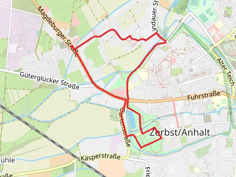
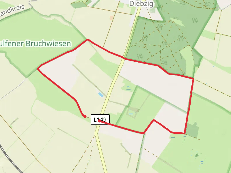
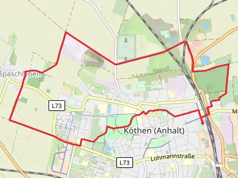
Check out some of the best hiking, walking and backpacking routes in Anhalt-Bitterfeld, Germany. The Faschweg and Katharinenweg Loop is the most popular trail. The trails have 20 user reviews with great photos and information. The trail with the highest elevation climb is the Bitterfeld Berg Loop and the trail with the least amount of climbing is the Wulfener Loop. The longest trail is the Kothen South Loop at 15.3 km. For a shorter adventure you can try the Gruene Lunge Loop at 3.7 km. Get off line access to Fastfood, Restaurant, Shop, and Viewpoint locations and much more with a Hiiker subscription.

Be prepared for hiking in Germany with the HiiKER app