Download
Preview
Add to list
More
8.4 km
~1 hrs 40 min
0 m
Loop
“The Wulfener Loop is an accessible 8 km trail offering picturesque landscapes and rich biodiversity near Bitterfeld-Wolfen.”
Starting near Anhalt-Bitterfeld, Germany, the Wulfener Loop is an 8 km (approximately 5 miles) trail with no significant elevation gain, making it an ideal choice for hikers of all skill levels. The trailhead is conveniently located near the town of Bitterfeld-Wolfen, which can be accessed by both car and public transport. If you're driving, you can park near the Bitterfeld-Wolfen train station. For those using public transport, take a train to Bitterfeld-Wolfen station, which is well-connected to major cities like Leipzig and Berlin.
Trail Overview
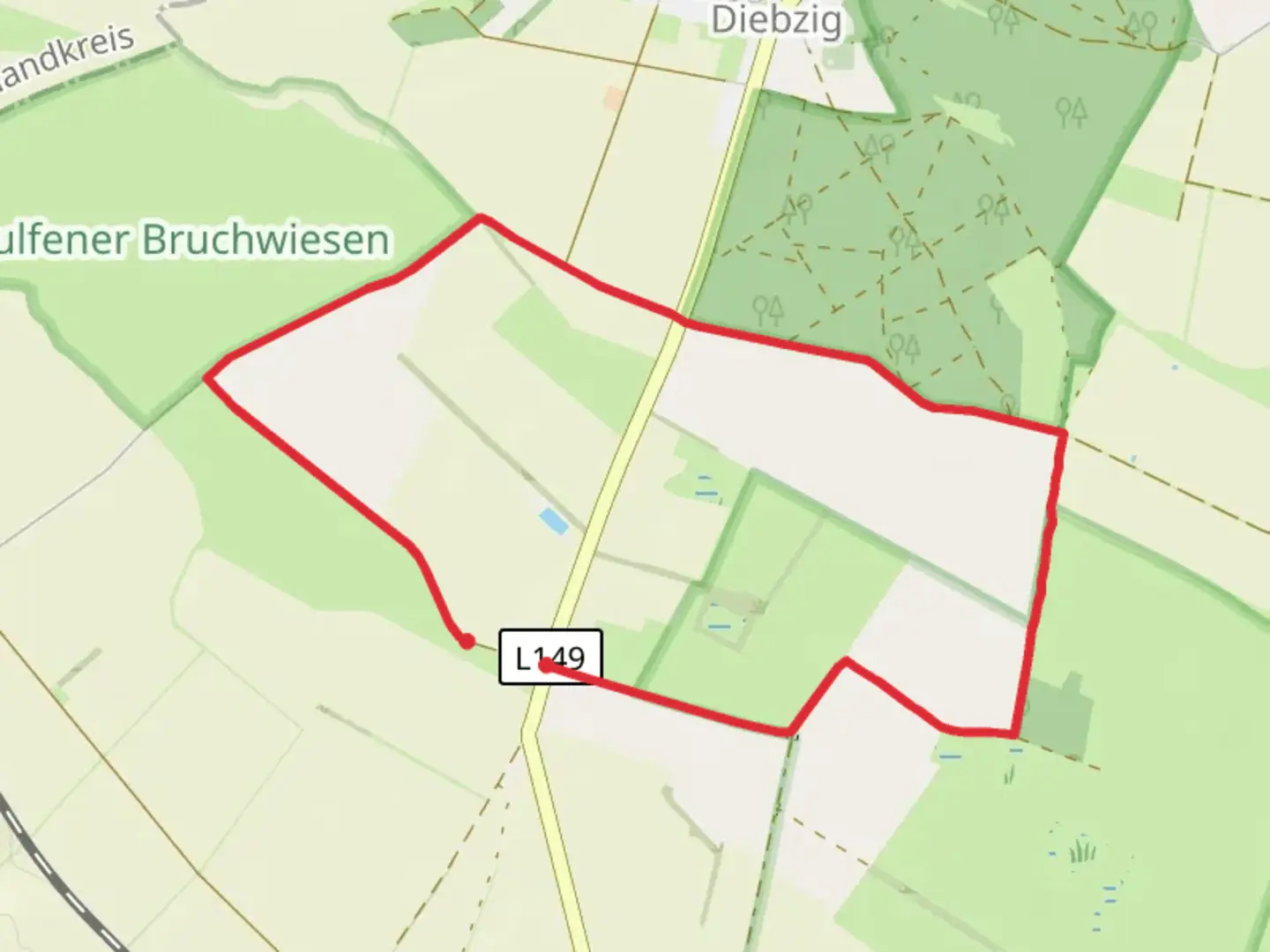
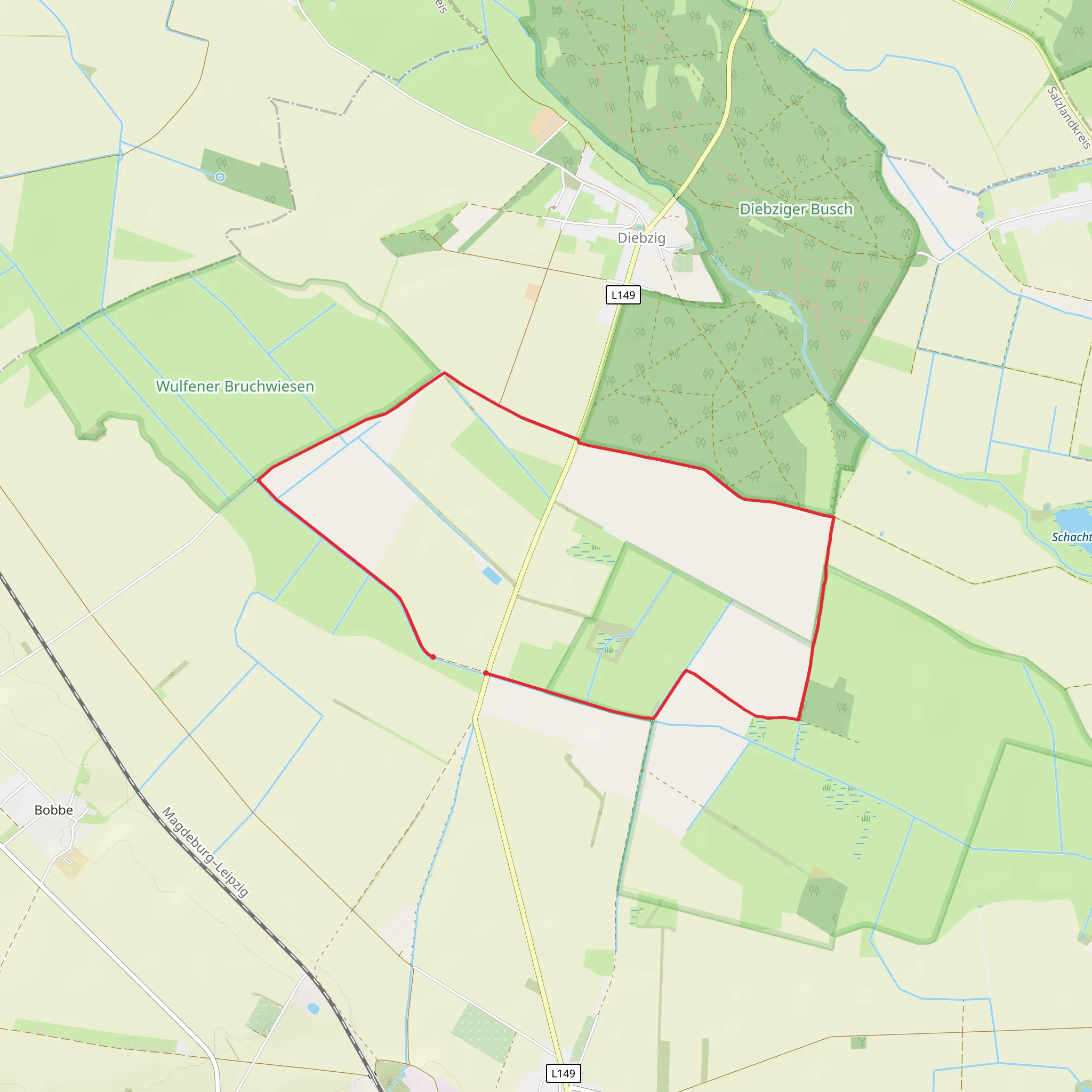
The Wulfener Loop is a scenic loop trail that meanders through the picturesque landscapes of the Anhalt-Bitterfeld region. The trail is well-marked and easy to follow, making it suitable for families and casual hikers. The path is predominantly flat, with an elevation gain of around 0 meters, ensuring a leisurely walk through the countryside.
Flora and Fauna
As you hike, you'll pass through a variety of landscapes, including open fields, small forests, and wetlands. The area is rich in biodiversity, so keep an eye out for local wildlife such as deer, foxes, and a variety of bird species. The wetlands are particularly vibrant in spring and early summer, offering a chance to see migratory birds and blooming wildflowers.
Historical Significance
The region around Anhalt-Bitterfeld has a rich history dating back to medieval times. While the trail itself does not pass through any major historical landmarks, the nearby town of Bitterfeld-Wolfen has a fascinating industrial heritage. Once a major center for chemical production, the town has transformed into a hub for renewable energy and environmental conservation. If you have time, consider visiting the Bitterfeld-Wolfen Industrial Museum to learn more about the area's history.
Navigation and Landmarks
Using HiiKER for navigation is highly recommended, as the app provides detailed maps and real-time updates. Key landmarks to look out for include the serene Lake Goitzsche, located about 3 km (1.8 miles) into the hike. This artificial lake was created from a former lignite mine and is now a popular spot for birdwatching and picnicking. Another notable point is the small village of Wulfen, which you will pass through around the halfway mark. Here, you can take a short break and perhaps visit a local café for refreshments.
Getting There
To reach the trailhead, head to Bitterfeld-Wolfen. If you're driving, set your GPS to the Bitterfeld-Wolfen train station, where parking is available. For public transport users, take a train to Bitterfeld-Wolfen station. From the station, it's a short walk to the trailhead, which is well-signposted.
The Wulfener Loop offers a delightful and easy hiking experience through the tranquil landscapes of Anhalt-Bitterfeld. Whether you're a local or a visitor, this trail provides a perfect escape into nature with minimal effort required.
What to expect?
Activity types
Comments and Reviews
User comments, reviews and discussions about the Wulfener Loop, Germany.
4.75
average rating out of 5
4 rating(s)
