Appalachian Trail trail stages
stage 151
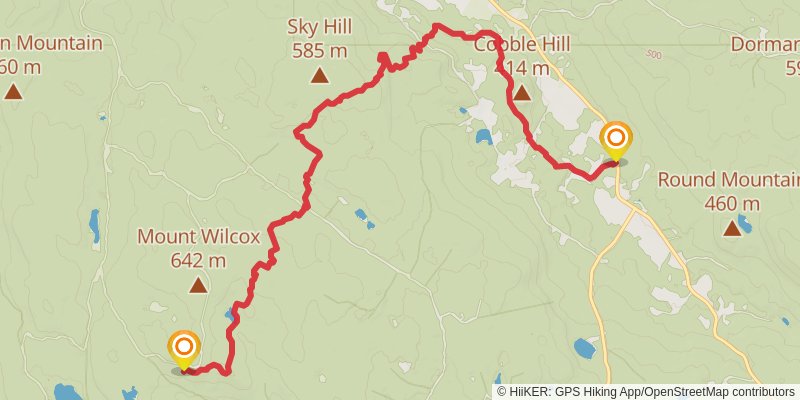
Starting at: old trail shelter, Monterey, Berkshire County, 01245
Ending at: Tyringham, Berkshire County, 01264
Distance: 13.7 km
Elevation gain: 452 m
Duration: 03:29:35
stage 152
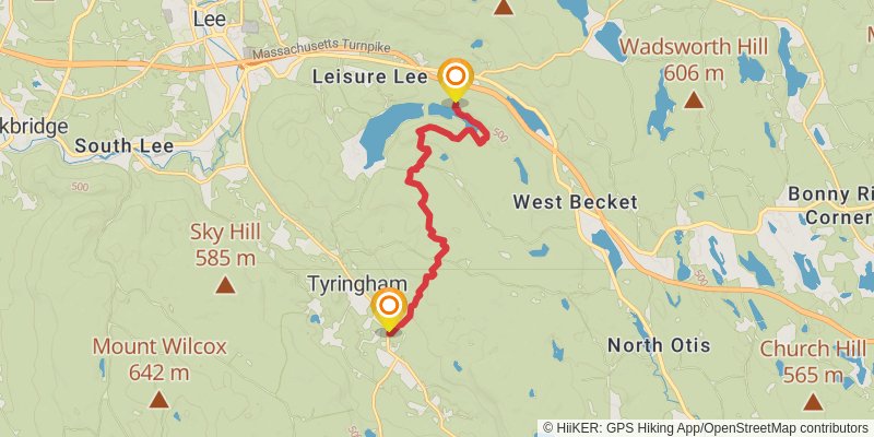
Starting at: Tyringham, Berkshire County, 01264
Ending at: Tyringham, Berkshire County, 01238
Distance: 11.3 km
Elevation gain: 548 m
Duration: 03:10:08
stage 153
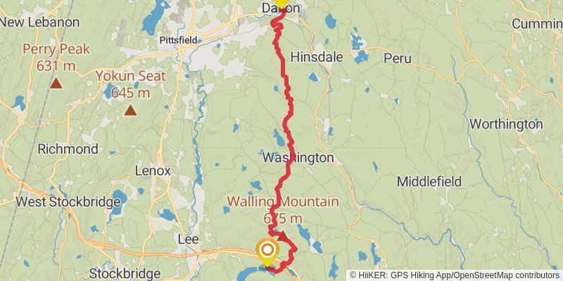
Starting at: Tyringham, Berkshire County, 01238
Ending at: Dalton, Berkshire County, 01226
Distance: 31.7 km
Elevation gain: 1065 m
Duration: 08:07:07
stage 154
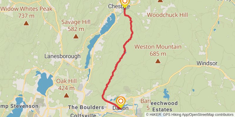
Starting at: Dalton, Berkshire County, 01226
Ending at: Cheshire, Berkshire County, 01225
Distance: 13.3 km
Elevation gain: 520 m
Duration: 03:31:25
stage 155
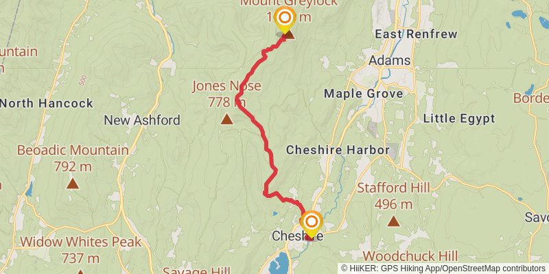
Starting at: Cheshire, Berkshire County, 01225
Ending at: Adams, Berkshire County, 01220
Distance: 12.7 km
Elevation gain: 954 m
Duration: 04:07:13
stage 156
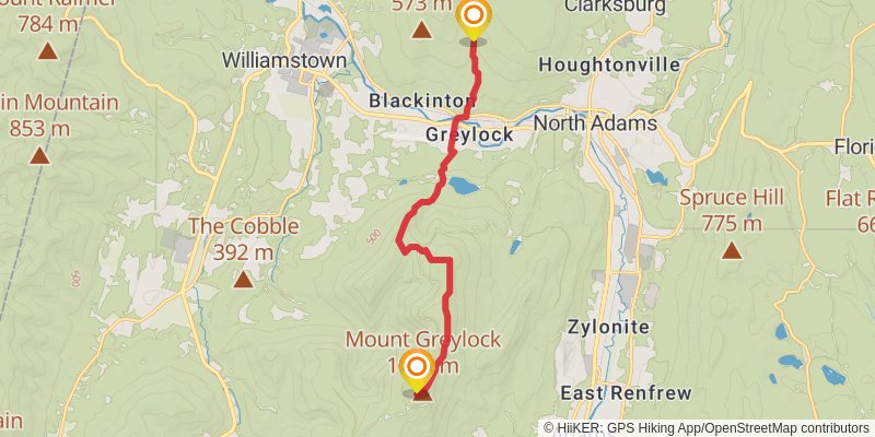
Starting at: Adams, Berkshire County, 01220
Ending at: Clarksburg, Berkshire County, 01247
Distance: 12.4 km
Elevation gain: 405 m
Duration: 03:09:47
stage 157
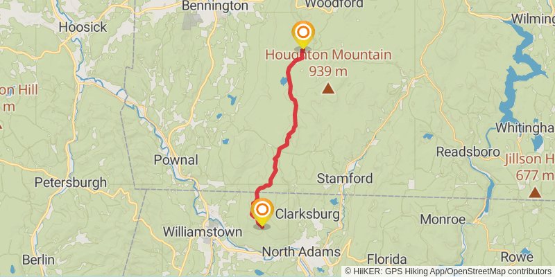
Starting at: Clarksburg, Berkshire County, 01247
Distance: 18.6 km
Elevation gain: 969 m
Duration: 05:19:39
stage 158
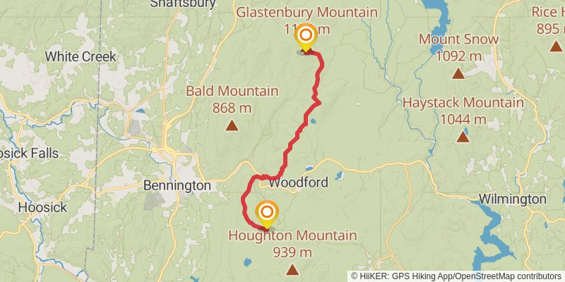
Starting at: Congdon Shelter, Woodford, Bennington County, 05201
Distance: 21.3 km
Elevation gain: 1250 m
Duration: 06:20:10
stage 159
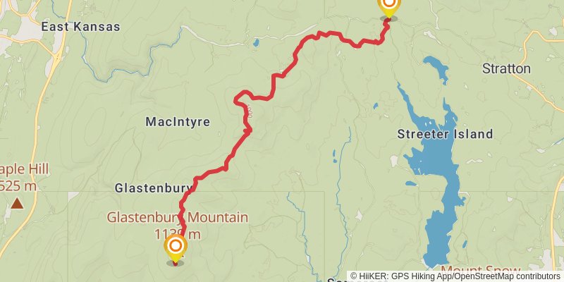
Starting at: Goddard Shelter, Woodford, Bennington County, 05262
Ending at: Stratton, Windham County, 05360
Distance: 18.6 km
Elevation gain: 598 m
Duration: 04:43:23
stage 160
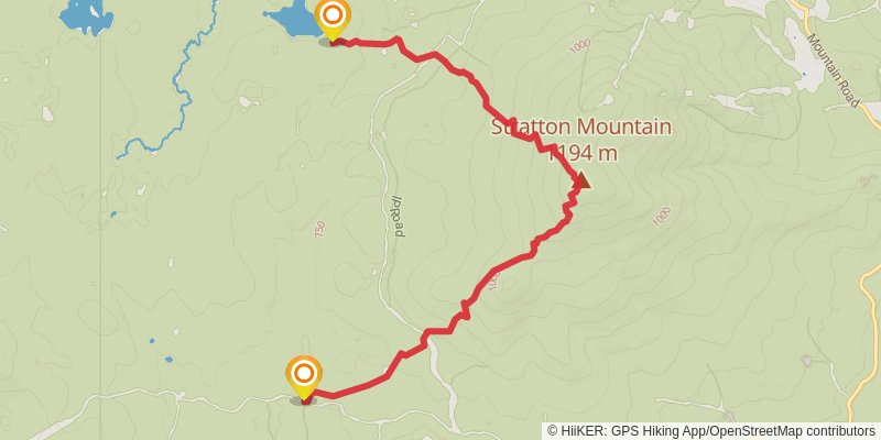
Starting at: Stratton, Windham County, 05360
Ending at: Stratton, Windham County, 05155
Distance: 9.7 km
Elevation gain: 605 m
Duration: 02:57:25
stage 161
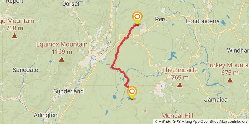
Starting at: Stratton, Windham County, 05155
Ending at: Peru, Bennington County, 05152
Distance: 19.0 km
Elevation gain: 667 m
Duration: 04:55:08
stage 162
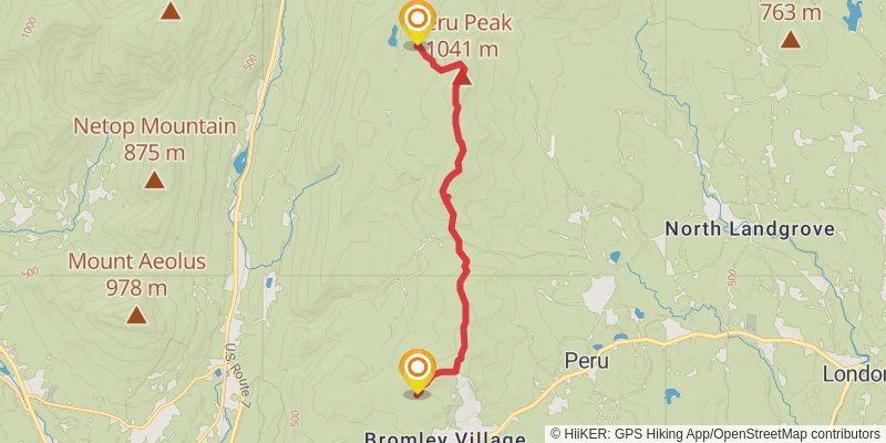
Starting at: Peru, Bennington County, 05152
Distance: 11.6 km
Elevation gain: 641 m
Duration: 03:23:25
stage 163
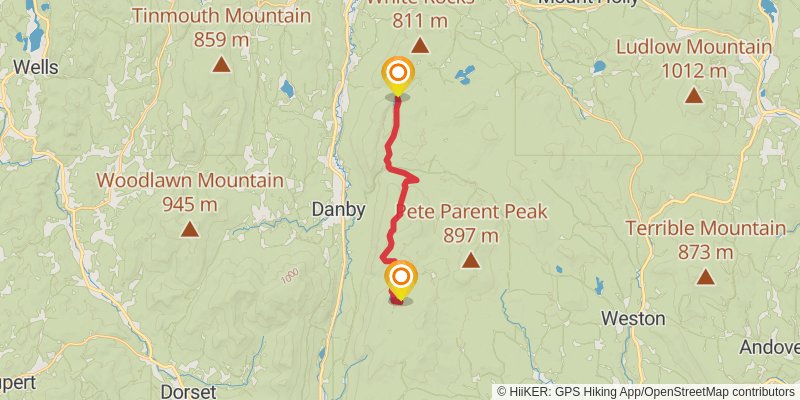
Starting at: Peru Peak Shelter, Peru, Bennington County, 05152
Ending at: Wallingford, Rutland County, 05742
Distance: 15.1 km
Elevation gain: 353 m
Duration: 03:37:02
stage 164
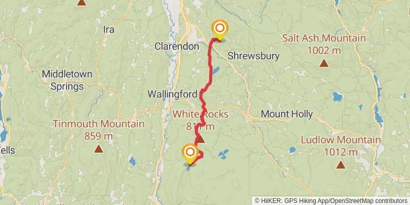
Ending at: Shrewsbury, Rutland County, 05738
Distance: 19.1 km
Elevation gain: 1058 m
Duration: 05:34:28
stage 165
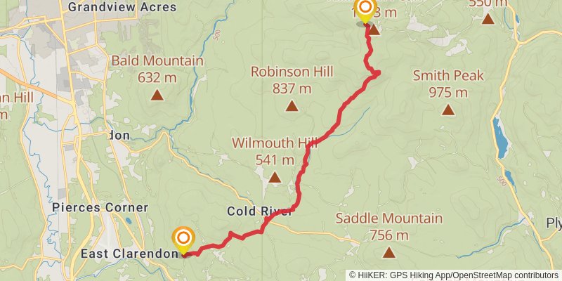
Starting at: Clarendon Shelter, Shrewsbury, Rutland County, 05738
Ending at: Killington, Rutland County, 05751
Distance: 15.4 km
Elevation gain: 1105 m
Duration: 04:55:17
stage 166
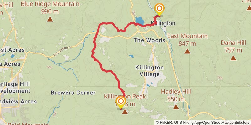
Starting at: Killington, Rutland County, 05751
Ending at: Killington, Rutland County, 05751
Distance: 17.5 km
Elevation gain: 484 m
Duration: 04:18:52
stage 167
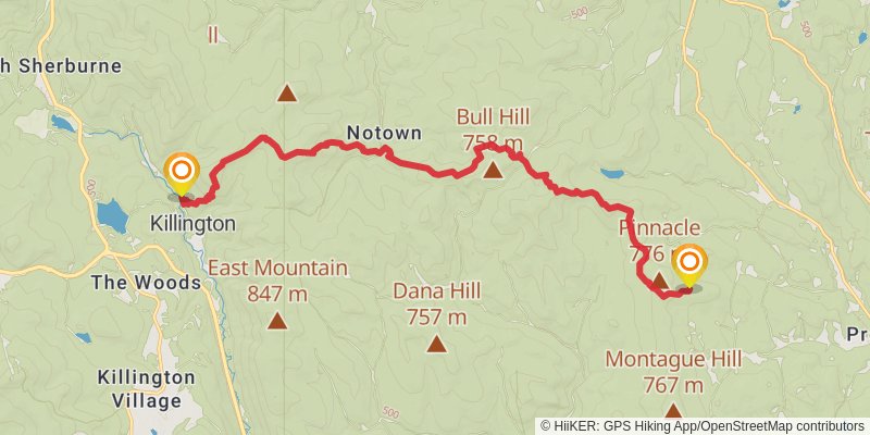
Starting at: Killington, Rutland County, 05751
Ending at: Bridgewater, Windsor County, 05091
Distance: 19.8 km
Elevation gain: 1440 m
Duration: 06:21:21
stage 168
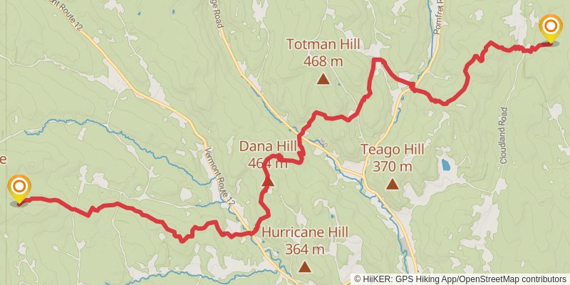
Starting at: Bridgewater, Windsor County, 05091
Ending at: Pomfret, Windsor County, 05067
Distance: 17.0 km
Elevation gain: 991 m
Duration: 05:03:04
stage 169
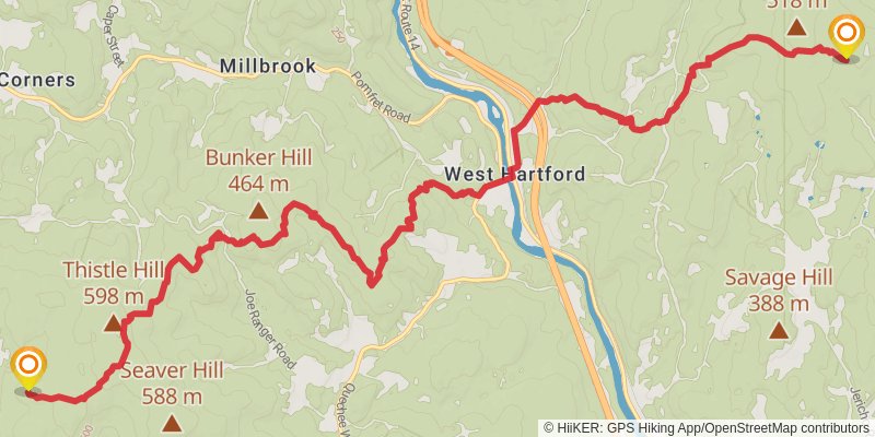
Starting at: Pomfret, Windsor County, 05067
Ending at: Norwich, Windsor County, 05055
Distance: 16.9 km
Elevation gain: 835 m
Duration: 04:46:23
stage 170
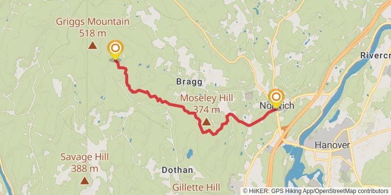
Starting at: Norwich, Windsor County, 05055
Ending at: Norwich, Windsor County, 05055
Distance: 6.9 km
Elevation gain: 151 m
Duration: 01:38:03
stage 171
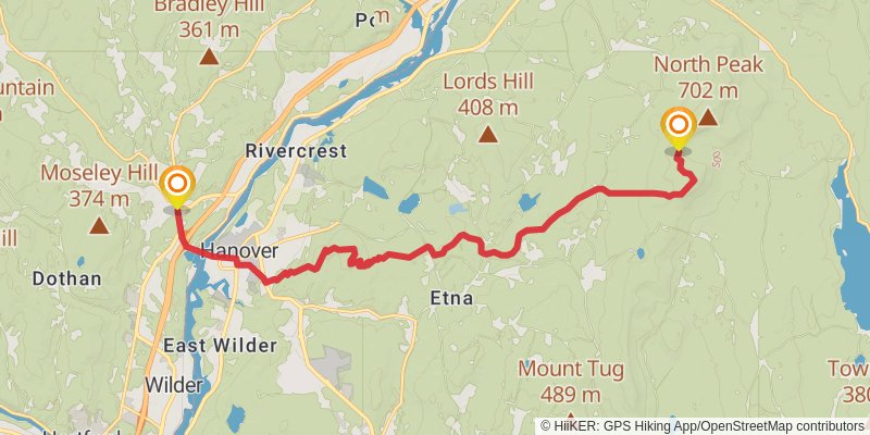
Starting at: Norwich, Windsor County, 05055
Ending at: Hanover, Grafton County, 03755
Distance: 18.7 km
Elevation gain: 977 m
Duration: 05:21:38
stage 172
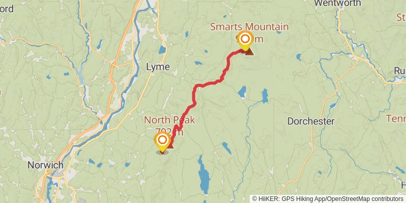
Starting at: Hanover, Grafton County, 03755
Ending at: Lyme, Grafton County, 03768
Distance: 18.5 km
Elevation gain: 1338 m
Duration: 05:55:16
stage 173
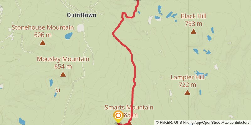
Starting at: Privy, Lyme, Grafton County, 03768
Ending at: Orford, Grafton County, 03777
Distance: 7.5 km
Elevation gain: 256 m
Duration: 01:56:00
stage 174
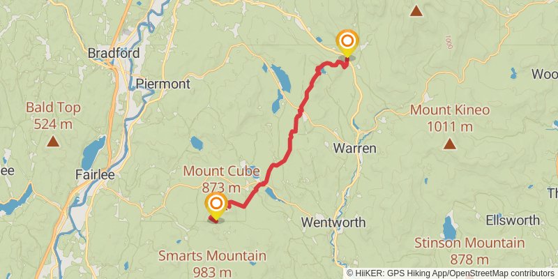
Starting at: Orford, Grafton County, 03777
Ending at: Warren, Grafton County, 03238
Distance: 22.4 km
Elevation gain: 1055 m
Duration: 06:14:51
stage 175
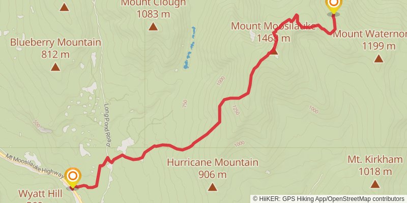
Starting at: Warren, Grafton County, 03238
Ending at: Benton, Grafton County, 03785
Distance: 11.5 km
Elevation gain: 1215 m
Duration: 04:19:12
stage 176
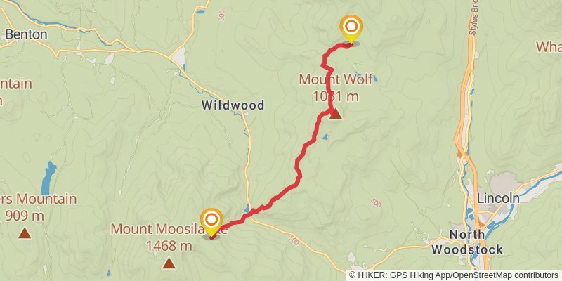
Starting at: Benton, Grafton County, 03785
Distance: 12.5 km
Elevation gain: 804 m
Duration: 03:50:40
stage 177
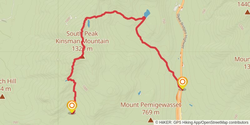
Ending at: Lincoln, Grafton County, 03251
Distance: 12.5 km
Elevation gain: 731 m
Duration: 03:42:47
stage 178
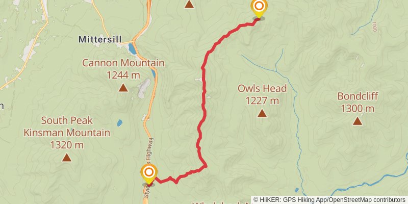
Starting at: Lincoln, Grafton County, 03251
Ending at: Spring, Franconia, Grafton County, 03580
Distance: 14.6 km
Elevation gain: 1691 m
Duration: 05:44:17
stage 179
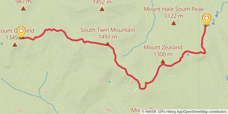
Starting at: Spring, Franconia, Grafton County, 03580
Distance: 13.7 km
Elevation gain: 819 m
Duration: 04:06:08
stage 180
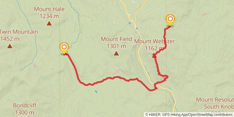
Starting at: Zealand Falls Hut, Bethlehem, Grafton County, 03574
Distance: 20.9 km
Elevation gain: 1310 m
Duration: 06:22:05