Download
3D Flyover
Add to list
More
3344.1 km
~130 days
65616 m
Multi-Day
“Embark on a breathtaking 2,190-mile odyssey through America's wilderness, from Georgia's peaks to Maine's majestic Katahdin.”
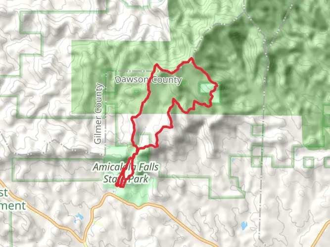
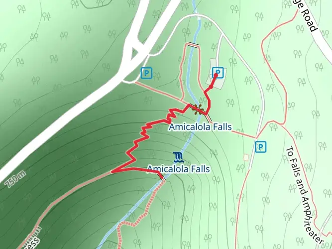
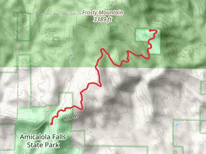
Spanning approximately 2,190 miles (3,524 kilometers) and with an elevation gain of around 215,000 feet (65,500 meters), the Appalachian Trail is one of the most iconic long-distance hiking paths in the world. Starting near Dawson County, Georgia, at Springer Mountain, the trail traverses the eastern United States, culminating at Mount Katahdin in Baxter State Park, Maine.
Getting to the Trailhead
To reach the southern terminus of the Appalachian Trail, hikers can fly into Hartsfield-Jackson Atlanta International Airport and take a shuttle or rent a car to travel to the trailhead, which is about a 1.5-hour drive north of Atlanta. Public transportation options are limited, but shuttle services specifically catering to hikers are available.
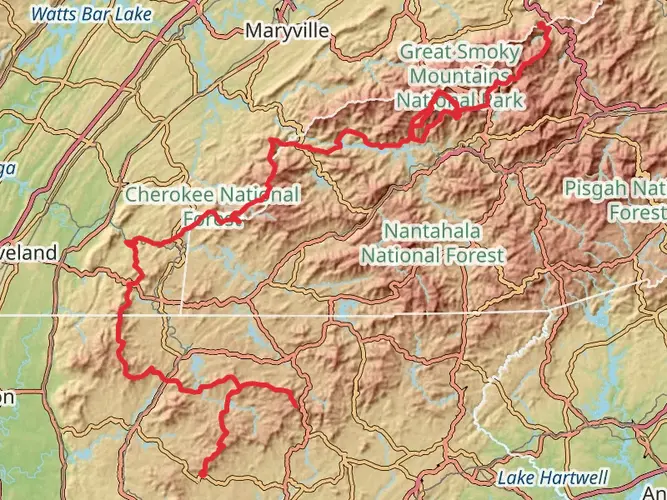
Georgia to North Carolina
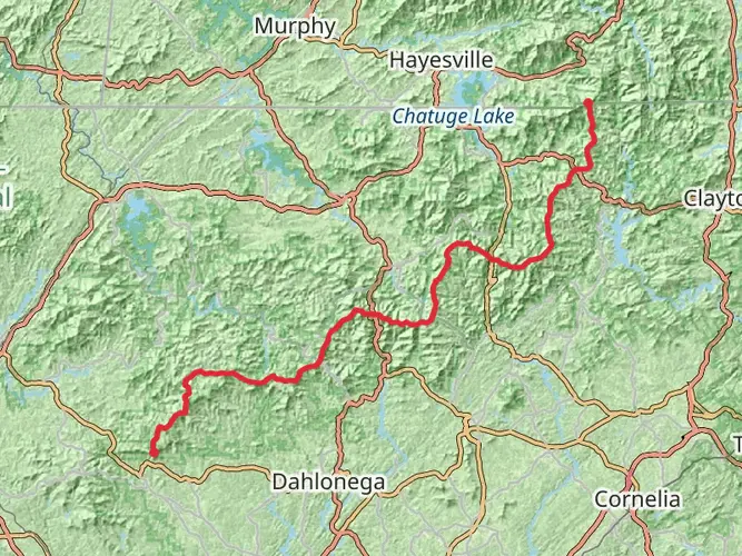
The journey begins in the rolling hills of the Southern Appalachians, with the first major peak, Blood Mountain, standing as the highest point on the trail in Georgia at 4,461 feet (1,360 meters). The trail then dips into Neels Gap, a significant landmark with the only trailside outfitter, Mountain Crossings. The path continues through dense forests and crosses into North Carolina at Bly Gap, around 78.6 miles (126.5 kilometers) from the start.
The Great Smoky Mountains
One of the trail's highlights is the Great Smoky Mountains National Park, which the trail enters after about 165 miles (265 kilometers). The park is home to Clingmans Dome, the highest point on the entire trail at 6,643 feet (2,025 meters). The Smokies are renowned for their biodiversity and stunning vistas.
Mid-Atlantic States
As the trail progresses north, it weaves through the mid-Atlantic states, offering a mix of forested ridges and pastoral landscapes. Notable features include the Grayson Highlands in Virginia, where wild ponies roam, and the rocky outcrops of Pennsylvania. Harpers Ferry, West Virginia, serves as the psychological midpoint of the trail and the headquarters of the Appalachian Trail Conservancy.
New England
Entering New England, the trail becomes more rugged. In New Hampshire, the White Mountains present some of the most challenging and scenic portions of the hike, including the Presidential Range and Mount Washington, notorious for its extreme weather. The trail then enters Maine, where the Hundred-Mile Wilderness leads to the final ascent of Mount Katahdin, the northern terminus.
Wildlife and Nature
The Appalachian Trail is a haven for wildlife, including black bears, deer, and a variety of bird species. Hikers should be aware of bear safety practices, especially in areas where bear activity is high. The trail also offers a rich array of plant life, with blooming rhododendrons and mountain laurels in the south and hardwood forests in the north.
Historical Significance
The trail passes through numerous historical sites, from Civil War battlefields to early American settlements. It is a living museum of the cultural heritage of the eastern United States.
Navigation and Planning
For navigation, HiiKER is an excellent tool for planning and staying on course along the Appalachian Trail. It provides detailed maps and information on waypoints, shelters, and water sources.
Preparation
Given the trail's difficulty, length, and varying weather conditions, thorough preparation is essential. Hikers should be equipped with appropriate gear for all seasons, have a well-thought-out resupply plan, and be physically and mentally prepared for the challenges of a long-distance hike.
Whether you're a thru-hiker or a section hiker, the Appalachian Trail offers a profound connection with nature, a test of endurance, and a journey through the heart of America's wilderness legacy.

What to expect?
Activity types
Comments and Reviews
User comments, reviews and discussions about the Appalachian Trail, Georgia.
4.67
average rating out of 5
30 rating(s)