Appalachian Trail trail stages
stage 91
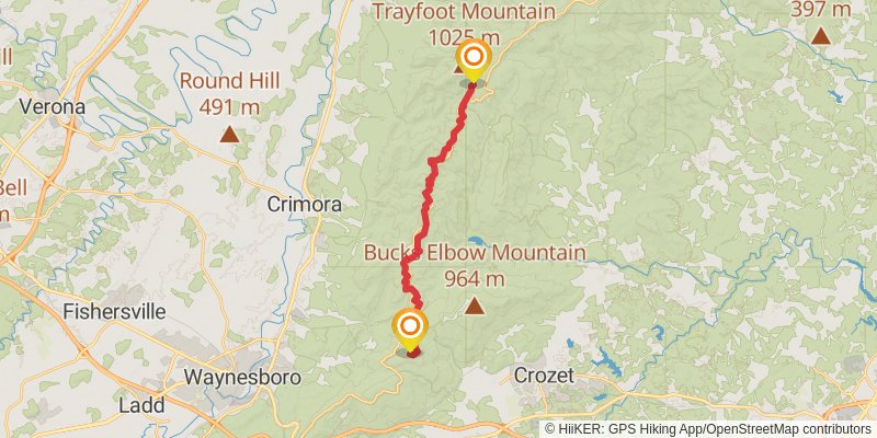
Starting at: Calf Mountain, Waynesboro, Albemarle County, 22980
Ending at: Crozet, Albemarle County, 22932
Distance: 20.9 km
Elevation gain: 1013 m
Duration: 05:51:32
stage 92
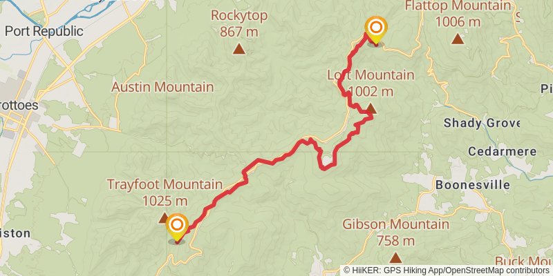
Starting at: Blackrock Hut, Crozet, Albemarle County, 22932
Ending at: Free Union, Rockingham County, 22940
Distance: 20.8 km
Elevation gain: 972 m
Duration: 05:46:53
stage 93
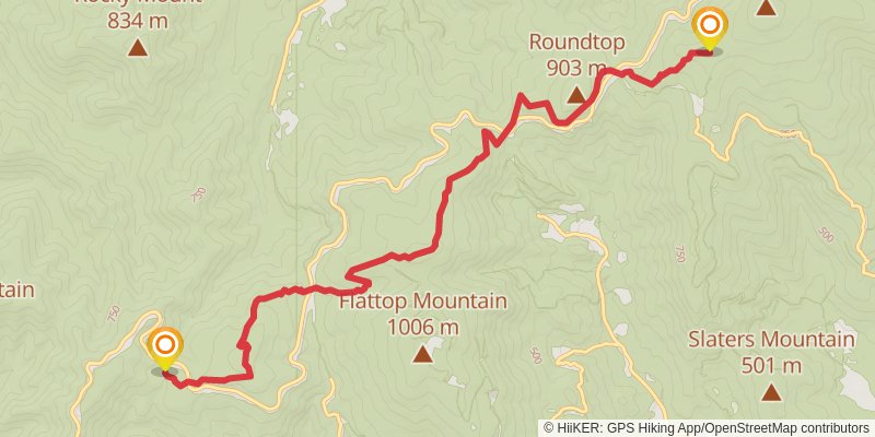
Starting at: Pinefield Hut, Free Union, Greene County, 22940
Ending at: Dyke, Rockingham County, 22935
Distance: 12.9 km
Elevation gain: 780 m
Duration: 03:52:41
stage 94
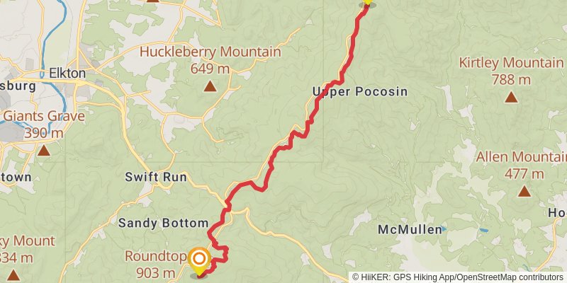
Starting at: Sandy Bottom, Harrisonburg, Rockingham County, 22935
Ending at: Elkton, Greene County, 22827
Distance: 18.9 km
Elevation gain: 964 m
Duration: 05:22:44
stage 95
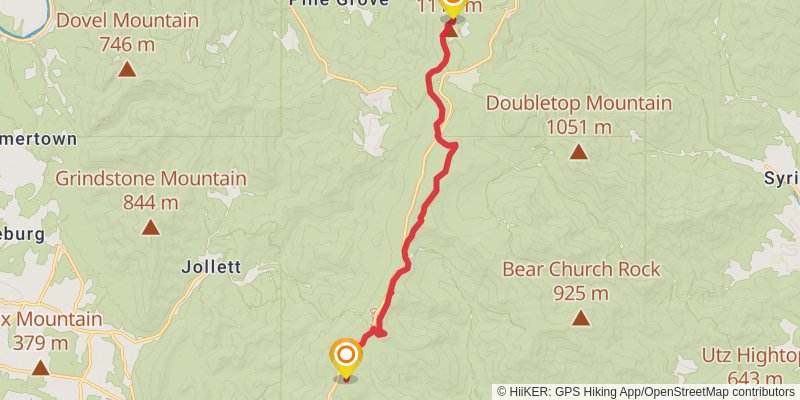
Starting at: Stanardsville, Greene County, 22973
Ending at: Stanley, Page County, 22851
Distance: 14.4 km
Elevation gain: 618 m
Duration: 03:54:54
stage 96
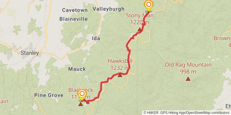
Starting at: Stanley, Page County, 22851
Ending at: Luray, Page County, 22835
Distance: 16.4 km
Elevation gain: 795 m
Duration: 04:35:48
stage 97
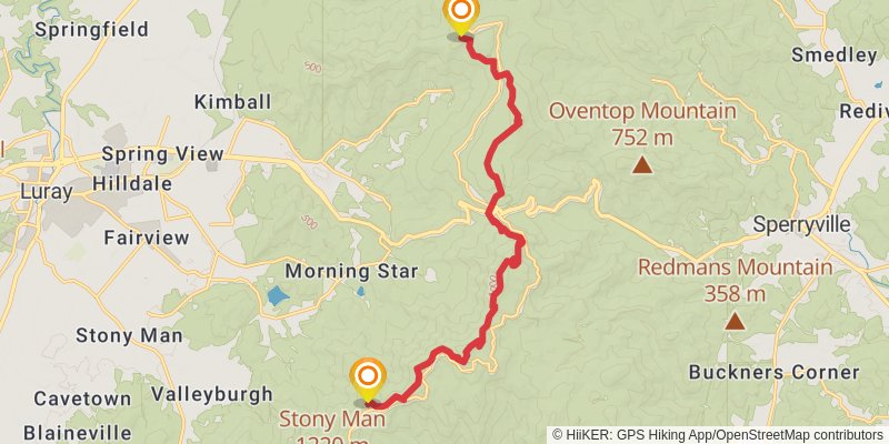
Starting at: Skyland, Page County, 22835
Ending at: Sperryville, Page County, 22740
Distance: 17.5 km
Elevation gain: 1004 m
Duration: 05:10:09
stage 98
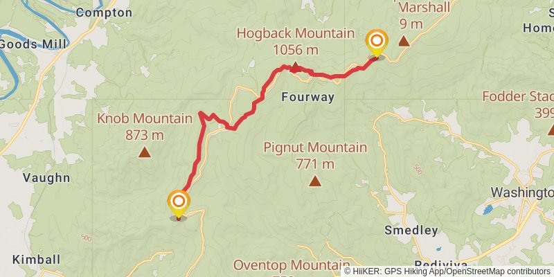
Starting at: Vaughn, Page County, 22835
Ending at: Flint Hill, Rappahannock County, 22627
Distance: 15.9 km
Elevation gain: 735 m
Duration: 04:24:50
stage 99
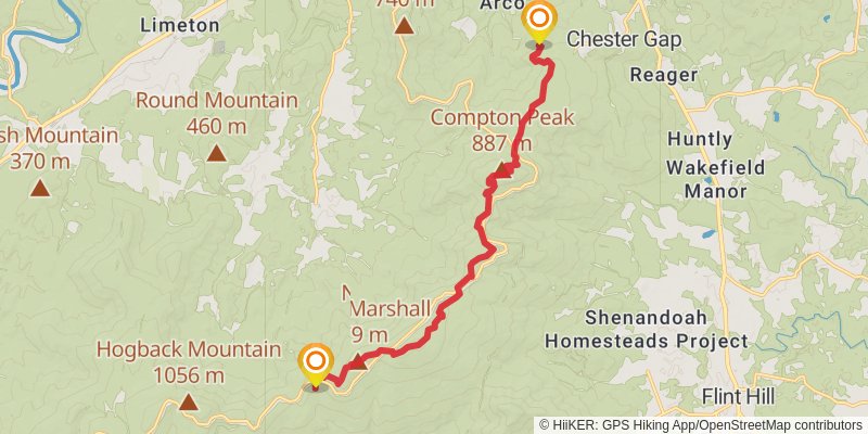
Starting at: Fourway, Rappahannock County, 22627
Distance: 16.2 km
Elevation gain: 596 m
Duration: 04:13:48
stage 100
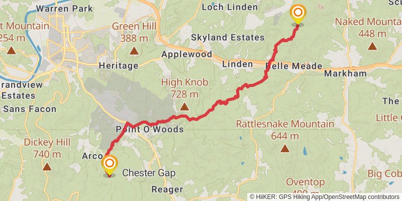
Starting at: Tom Floyd Wayside, Chester Gap, Warren County, 22630
Ending at: Shenandoah Farms, Fauquier County, 22642
Distance: 20.6 km
Elevation gain: 958 m
Duration: 05:42:25
stage 101
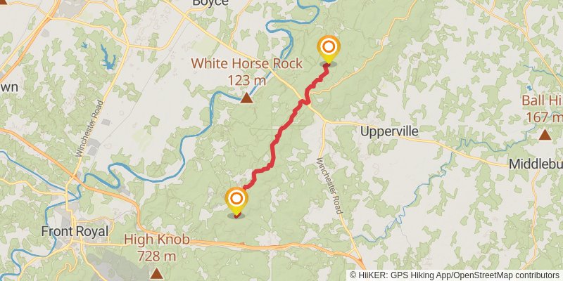
Starting at: Shenandoah Farms, Fauquier County, 22642
Ending at: Paris, Clarke County, 20130
Distance: 19.6 km
Elevation gain: 727 m
Duration: 05:07:48
stage 102
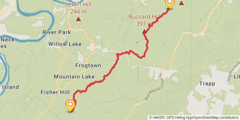
Starting at: Paris, Clarke County, 20130
Ending at: Shenandoah Retreat, Clarke County, 20135
Distance: 10.5 km
Elevation gain: 716 m
Duration: 03:18:10
stage 103
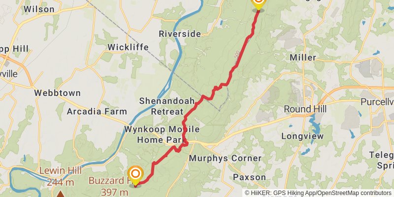
Starting at: Shenandoah Retreat, Clarke County, 20135
Ending at: Shannondale, Jefferson County, 20141
Distance: 16.6 km
Elevation gain: 1028 m
Duration: 05:02:03
stage 104
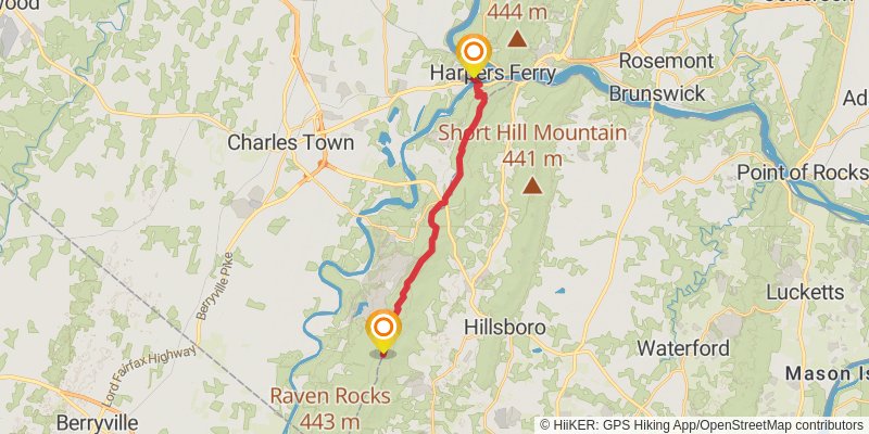
Starting at: Shannondale, Jefferson County, 20141
Ending at: Harpers Ferry, Jefferson County, 25425
Distance: 18.5 km
Elevation gain: 380 m
Duration: 04:19:43
stage 105
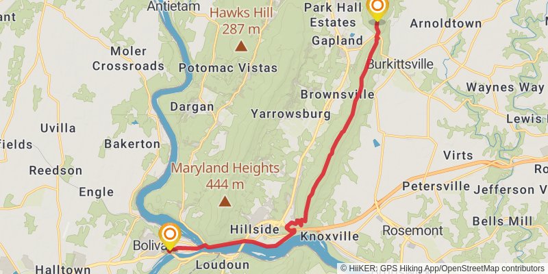
Starting at: Harpers Ferry, Jefferson County, 25425
Ending at: Burkittsville, Washington County, 21769
Distance: 17.3 km
Elevation gain: 660 m
Duration: 04:34:09
stage 106
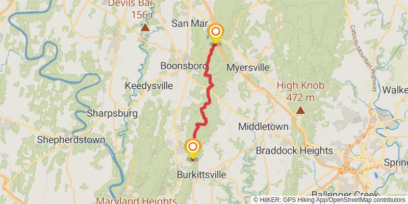
Starting at: Burkittsville, Washington County, 21769
Ending at: Myersville, Frederick County, 21773
Distance: 17.7 km
Elevation gain: 690 m
Duration: 04:41:45
stage 107
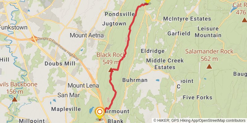
Starting at: Myersville, Frederick County, 21773
Distance: 14.4 km
Elevation gain: 493 m
Duration: 03:42:05
stage 108
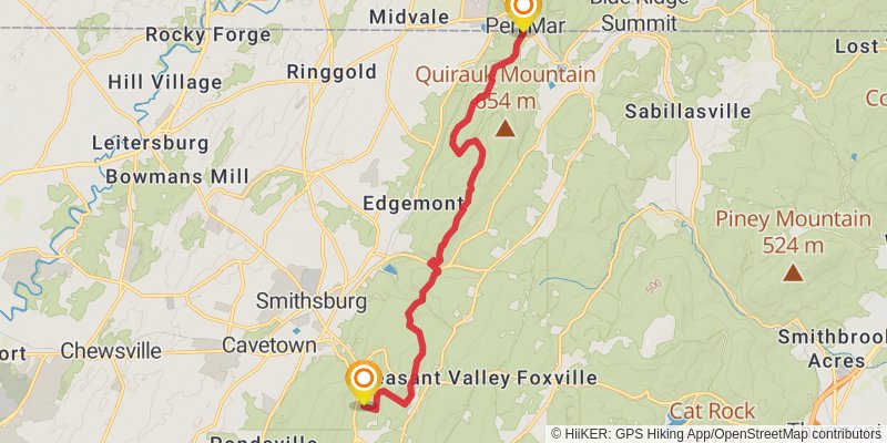
Ending at: Highfield-Cascade, Washington County, 21719
Distance: 15.3 km
Elevation gain: 665 m
Duration: 04:10:21
stage 109
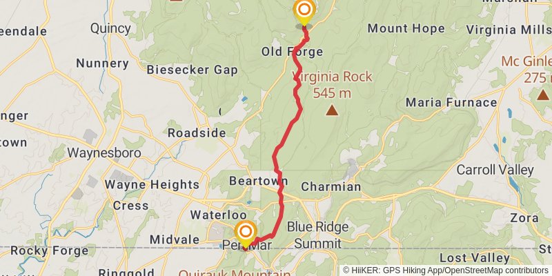
Starting at: Highfield-Cascade, Washington County, 21719
Distance: 12.2 km
Elevation gain: 453 m
Duration: 03:11:19
stage 110
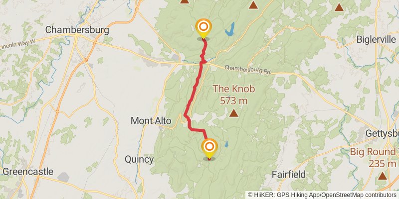
Distance: 18.4 km
Elevation gain: 755 m
Duration: 04:56:08
stage 111
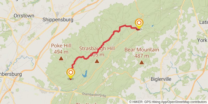
Ending at: Cooke, Cumberland County, 17324
Distance: 25.7 km
Elevation gain: 616 m
Duration: 06:09:53
stage 112
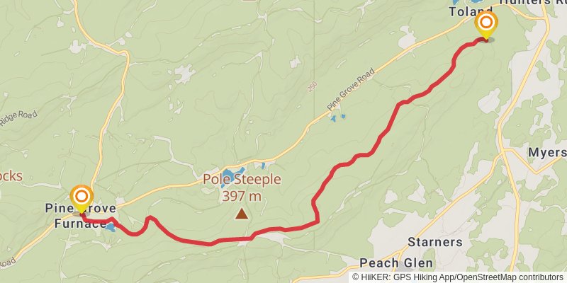
Starting at: Cooke, Cumberland County, 17324
Ending at: Dickinson, Cumberland County, 17324
Distance: 11.4 km
Elevation gain: 318 m
Duration: 02:48:25
stage 113
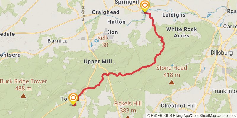
Starting at: Dickinson, Cumberland County, 17324
Ending at: Boiling Springs, Cumberland County, 17007
Distance: 18.5 km
Elevation gain: 660 m
Duration: 04:48:23
stage 114
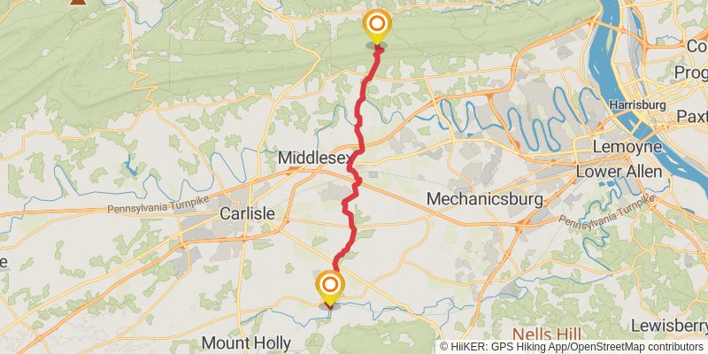
Starting at: Boiling Springs, Cumberland County, 17007
Ending at: Rye, Perry County, 17053
Distance: 22.4 km
Elevation gain: 573 m
Duration: 05:25:54
stage 115
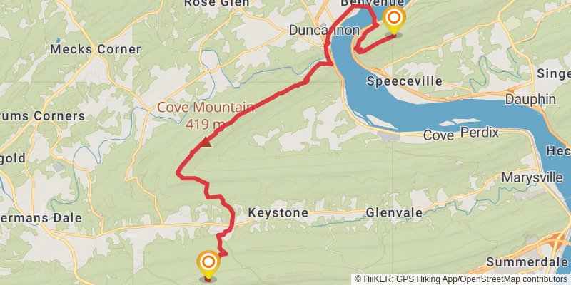
Starting at: Rye, Perry County, 17053
Ending at: Duncannon, Dauphin County, 17032
Distance: 23.7 km
Elevation gain: 855 m
Duration: 06:09:32
stage 116
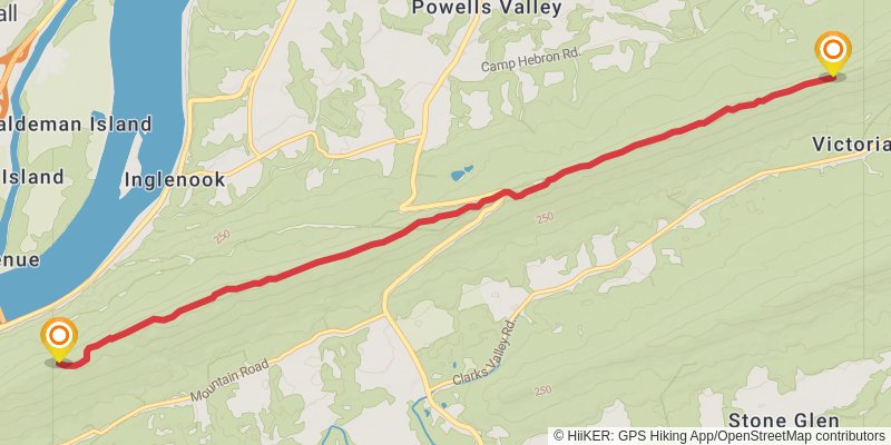
Starting at: Duncannon, Dauphin County, 17032
Distance: 11.2 km
Elevation gain: 309 m
Duration: 02:45:22
stage 117
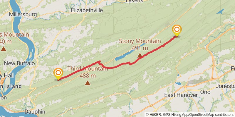
Distance: 28.4 km
Elevation gain: 840 m
Duration: 07:04:31
stage 118
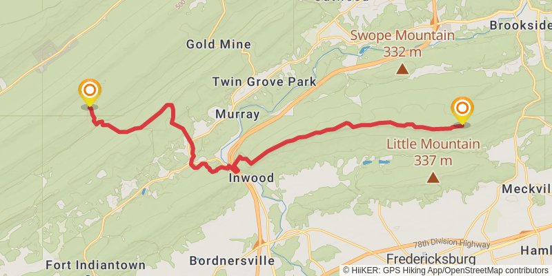
Distance: 21.3 km
Elevation gain: 741 m
Duration: 05:30:06
stage 119
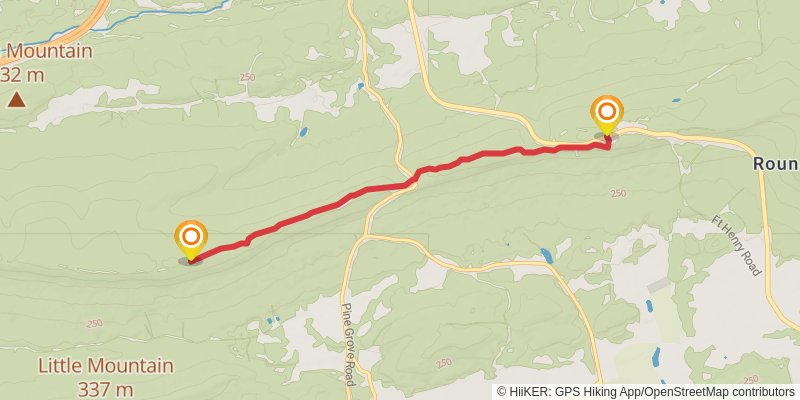
Distance: 6.7 km
Elevation gain: 183 m
Duration: 01:39:09
stage 120
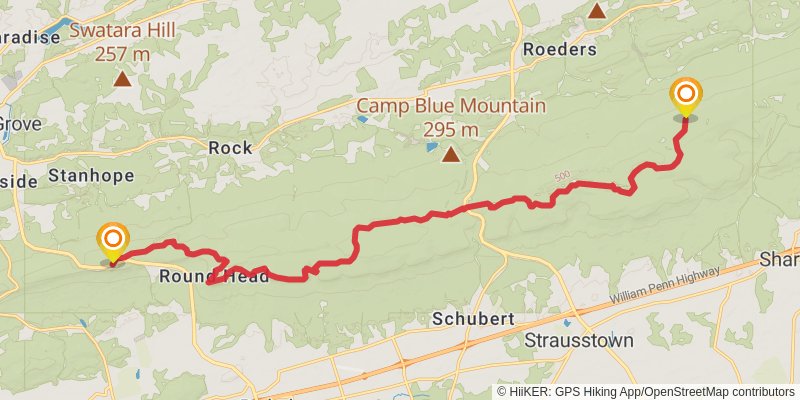
Distance: 23.6 km
Elevation gain: 566 m
Duration: 05:39:34