Download
3D Preview
Add to list
More
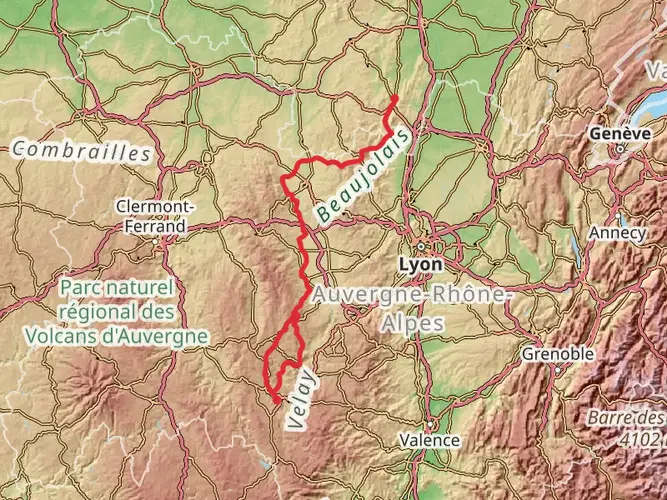
739.6 km
~28 days
12051 m
Multi-Day
“Trek the storied GR 65, a fusion of spiritual legacy, natural splendor, and medieval marvels.”
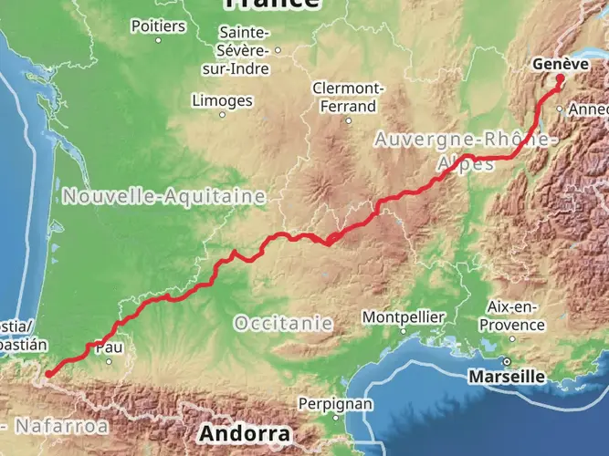
Embarking on the GR 65, also known as the Via Podiensis, hikers will traverse a historic pilgrimage route that has been trodden for centuries, stretching approximately 740 kilometers (460 miles) with an elevation gain of around 12,000 meters (39,370 feet). This long-distance path is a section of the Camino de Santiago, leading to the shrine of the apostle Saint James the Great in the cathedral of Santiago de Compostela in Galicia, Spain.
Getting to the Trailhead
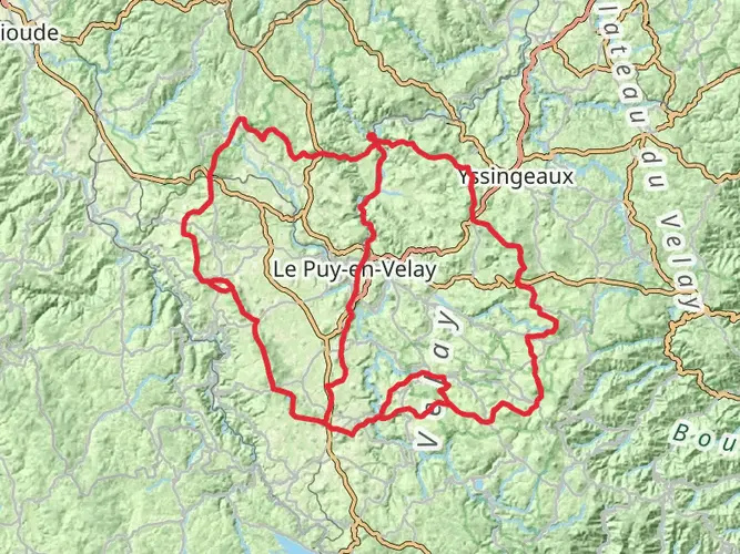
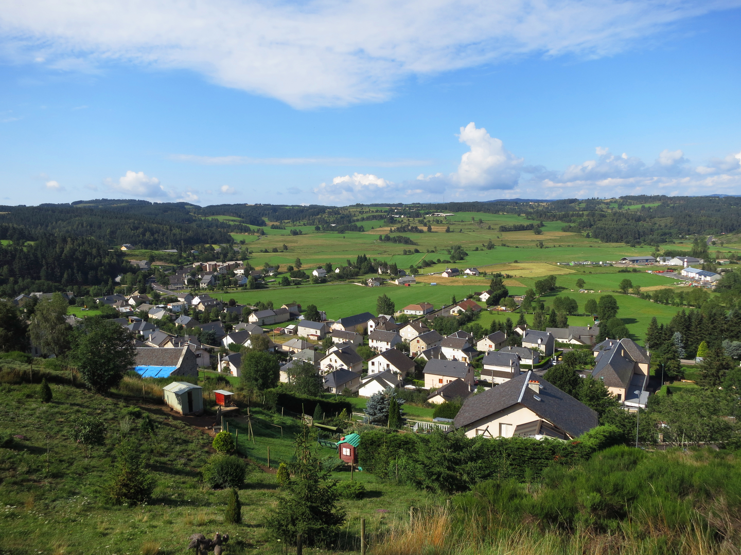
The journey begins near the quaint town of Le Puy-en-Velay, France, a place renowned for its cathedral and religious significance. To reach the starting point, travelers can fly into the nearest major city, Lyon, and from there, take a train or bus to Le Puy-en-Velay. If driving, the town is accessible via the A75 motorway, which provides a scenic route through the Massif Central.
The Path Through History and Nature
As hikers set out from Le Puy-en-Velay, they will be greeted by the town's impressive cathedral, a UNESCO World Heritage Site, which is a fitting and inspiring start to the pilgrimage. The trail meanders through the French countryside, offering a tapestry of landscapes from the volcanic terrains of the Velay region to the lush valleys of the Lot River.
The route is marked by a series of chapels, crosses, and statues that serve as reminders of the path's spiritual heritage. One of the most significant landmarks is the Chapel of Saint Roch, the patron saint of pilgrims, located near Montbonnet, about 10 kilometers (6.2 miles) from the start.
Cultural Encounters and Architectural Marvels
As the GR 65 winds through various regions, hikers will encounter charming villages and towns, each with its own unique character. The path takes pilgrims through the wine-growing region of Cahors, where the trail crosses the celebrated 14th-century Valentré Bridge, another UNESCO World Heritage Site.
In the town of Conques, approximately 210 kilometers (130 miles) from Le Puy-en-Velay, the trail passes the Abbey Church of Sainte-Foy, famed for its Romanesque architecture and the tympanum depicting the Last Judgment.
Terrain and Difficulty
The terrain varies greatly, from relatively flat sections to more challenging climbs, such as the ascent to the Aubrac Plateau, which stands at an elevation of around 1,300 meters (4,265 feet). The trail is considered to have a medium difficulty rating, with some strenuous sections that require a good level of fitness.
Wildlife and Flora
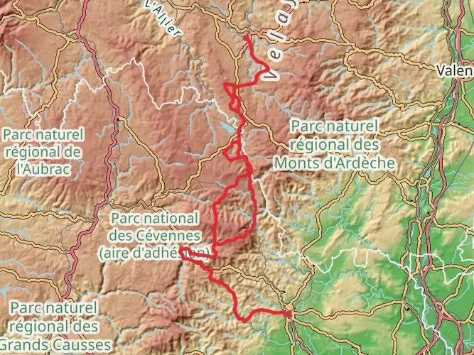
Nature enthusiasts will appreciate the diversity of wildlife and flora along the GR 65. The trail crosses through several natural parks, including the Causses du Quercy Regional Natural Park, where limestone plateaus give way to rich flora and the possibility of spotting birds of prey.
Navigation and Planning
To navigate the trail, hikers can rely on the well-marked signage along the route, as well as the HiiKER app, which provides detailed maps and essential information about the trail. It's advisable to plan accommodations in advance, as some of the smaller villages have limited lodging options.
Seasonal Considerations
The best time to hike the GR 65 is from late spring to early fall, when the weather is mild and the days are longer. However, it's important to be prepared for variable conditions, as the weather can change quickly, especially in the higher elevations.
Preparation and Safety
Hikers should pack accordingly for the journey, with a focus on lightweight, versatile gear. It's essential to carry enough water, especially during the hotter months, and to be prepared for the cooler temperatures encountered at higher altitudes. Always inform someone of your itinerary and check in regularly.
By following these guidelines and respecting the trail, hikers will have an enriching experience on the GR 65, steeped in history, culture, and the natural beauty of the French countryside.

Comments and Reviews
User comments, reviews and discussions about the GR 65, France.
5.0
average rating out of 5
15 rating(s)