GR 7 trail stages
stage 1
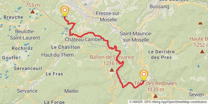
Distance: 18.5 km
Elevation gain: 629 m
Duration: 04:44:57
stage 2
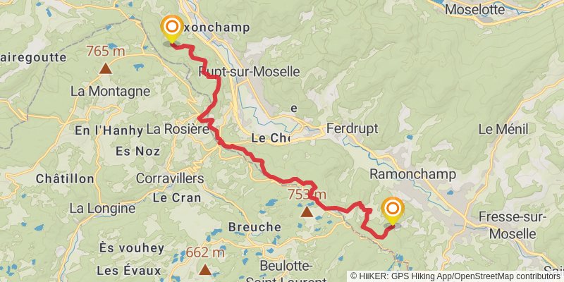
Starting at: Ramonchamp, Vosges, 88160
Ending at: Maxonchamp, Rupt-sur-Moselle, Vosges, 88360
Distance: 16.4 km
Elevation gain: 545 m
Duration: 04:11:19
stage 3
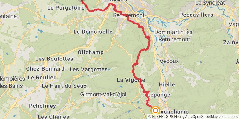
Starting at: Maxonchamp, Rupt-sur-Moselle, Vosges, 88360
Ending at: Anty, Saint-Nabord, Vosges, 88200
Distance: 19.7 km
Elevation gain: 634 m
Duration: 05:00:07
stage 4
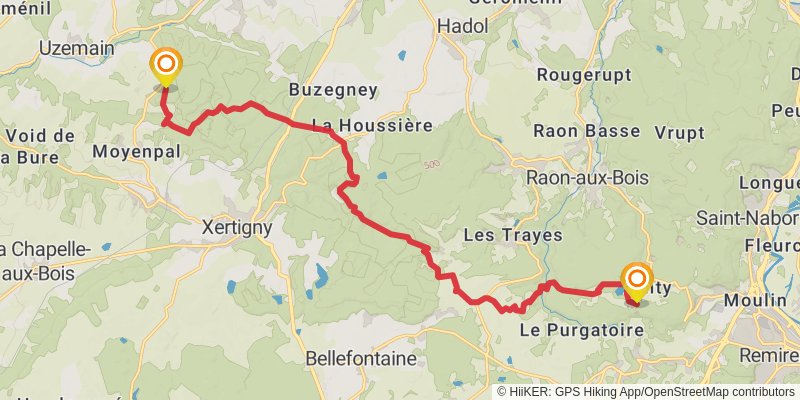
Starting at: Anty, Saint-Nabord, Vosges, 88200
Ending at: Hadol, Vosges, 88220
Distance: 19.3 km
Elevation gain: 474 m
Duration: 04:39:36
stage 5
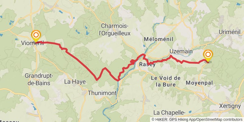
Starting at: Uzemain, Vosges, 88220
Ending at: Vioménil, Vosges, 88260
Distance: 21.0 km
Elevation gain: 469 m
Duration: 04:58:39
stage 6
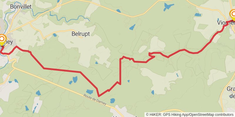
Starting at: Vioménil, Vosges, 88260
Ending at: Darney, Vosges, 88260
Distance: 14.8 km
Elevation gain: 184 m
Duration: 03:16:18
stage 7
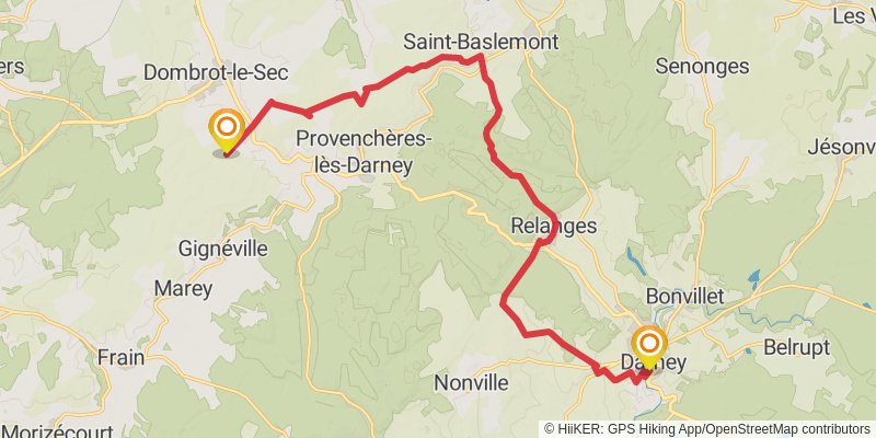
Starting at: Darney, Vosges, 88260
Ending at: Dombrot-le-Sec, Vosges, 88140
Distance: 21.0 km
Elevation gain: 440 m
Duration: 04:55:32
stage 8
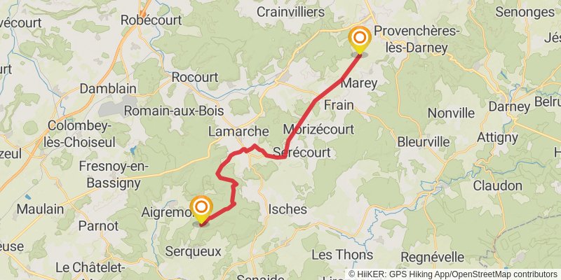
Starting at: Marey, Vosges, 88320
Ending at: Serqueux, Haute-Marne, 52400
Distance: 22.2 km
Elevation gain: 233 m
Duration: 04:49:28
stage 9
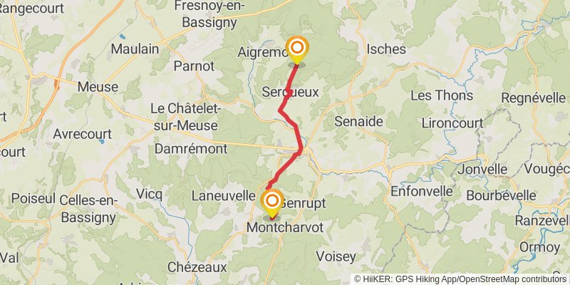
Starting at: Serqueux, Haute-Marne, 52400
Ending at: Coiffy-le-Haut, Haute-Marne, 52400
Distance: 15.0 km
Elevation gain: 293 m
Duration: 03:28:47
stage 10
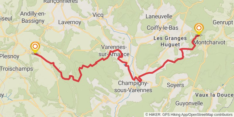
Starting at: Montcharvot, Haute-Marne, 52400
Ending at: Marcilly-en-Bassigny, Haute-Marne, 52360
Distance: 24.9 km
Elevation gain: 536 m
Duration: 05:52:38
stage 11
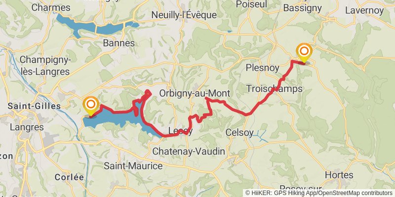
Starting at: Marcilly-en-Bassigny, Haute-Marne, 52360
Ending at: Peigney, Haute-Marne, 52200
Distance: 20.5 km
Elevation gain: 324 m
Duration: 04:37:55
alt 1
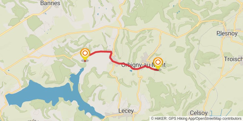
Starting at: Orbigny-au-Mont, Haute-Marne, 52360
Ending at: Orbigny-au-Val, Haute-Marne, 52360
Distance: 4.0 km
Elevation gain: 24 m
Duration: 00:50:18
stage 12
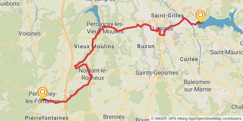
Starting at: Peigney, Haute-Marne, 52200
Ending at: Perrogney-les-Fontaines, Haute-Marne, 52160
Distance: 24.4 km
Elevation gain: 580 m
Duration: 05:50:47
stage 13
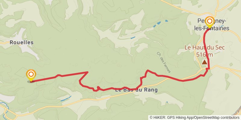
Starting at: Perrogney-les-Fontaines, Haute-Marne, 52160
Ending at: Parc de Vision, Auberive, Haute-Marne, 52160
Distance: 11.8 km
Elevation gain: 221 m
Duration: 02:44:06
stage 14
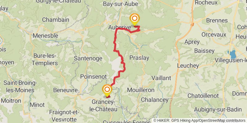
Starting at: Parc de Vision, Auberive, Haute-Marne, 52160
Distance: 22.5 km
Elevation gain: 561 m
Duration: 05:25:46
stage 15
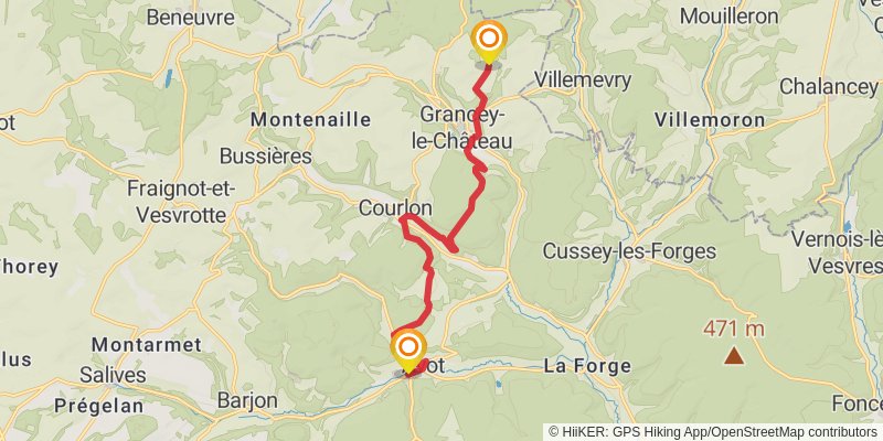
stage 16
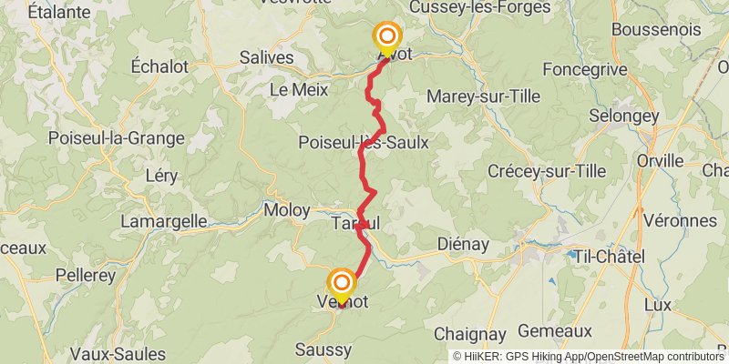
Starting at: Avot, Côte-d'Or, 21580
Ending at: Place Saint-Venant, Vernot, Côte-d'Or, 21120
Distance: 18.6 km
Elevation gain: 434 m
Duration: 04:26:12
stage 17
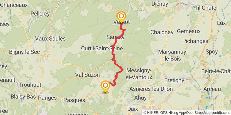
Starting at: Place Saint-Venant, Vernot, Côte-d'Or, 21120
Ending at: Prenois, Côte-d'Or, 21370
Distance: 21.5 km
Elevation gain: 784 m
Duration: 05:36:55
stage 18
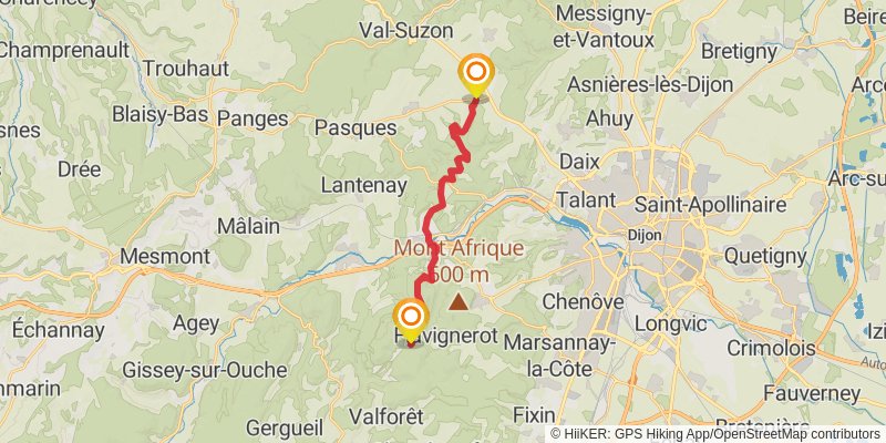
stage 19
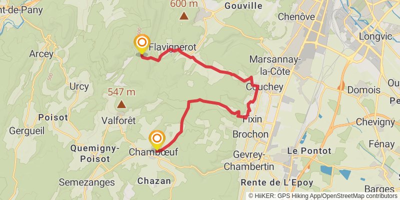
Starting at: Fontaine de la Mialle, Flavignerot, Côte-d'Or, 21160
Ending at: Chambœuf, Côte-d'Or, 21220
Distance: 16.4 km
Elevation gain: 453 m
Duration: 04:02:15
stage 20
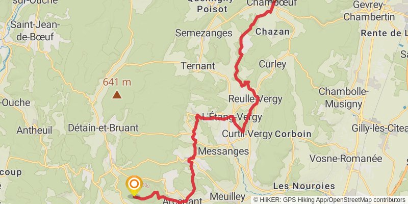
Starting at: Chambœuf, Côte-d'Or, 21220
Ending at: Fussey, Côte-d'Or, 21700
Distance: 20.7 km
Elevation gain: 721 m
Duration: 05:20:42
stage 21
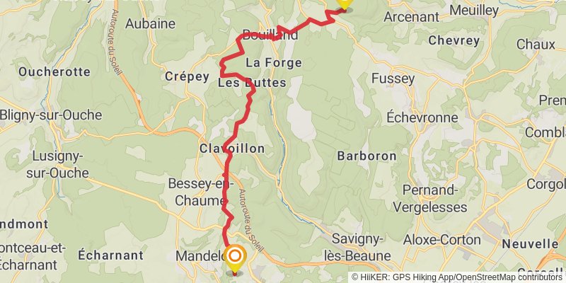
Starting at: Fussey, Côte-d'Or, 21700
Ending at: Bouze-lès-Beaune, Côte-d'Or, 21200
Distance: 17.2 km
Elevation gain: 473 m
Duration: 04:13:43
stage 22
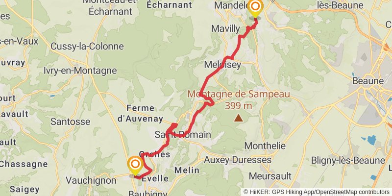
Starting at: Bouze-lès-Beaune, Côte-d'Or, 21200
Ending at: Baubigny, Côte-d'Or, 21340
Distance: 16.5 km
Elevation gain: 727 m
Duration: 04:30:56
stage 23
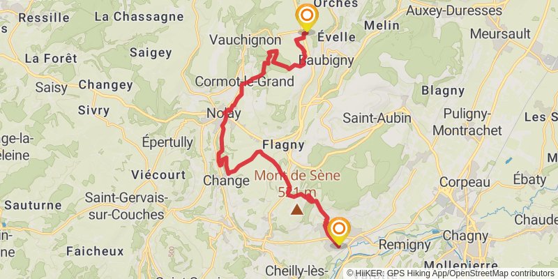
Starting at: Baubigny, Côte-d'Or, 21340
Ending at: Santenay, Côte-d'Or, 21590
Distance: 18.1 km
Elevation gain: 313 m
Duration: 04:07:56
stage 24
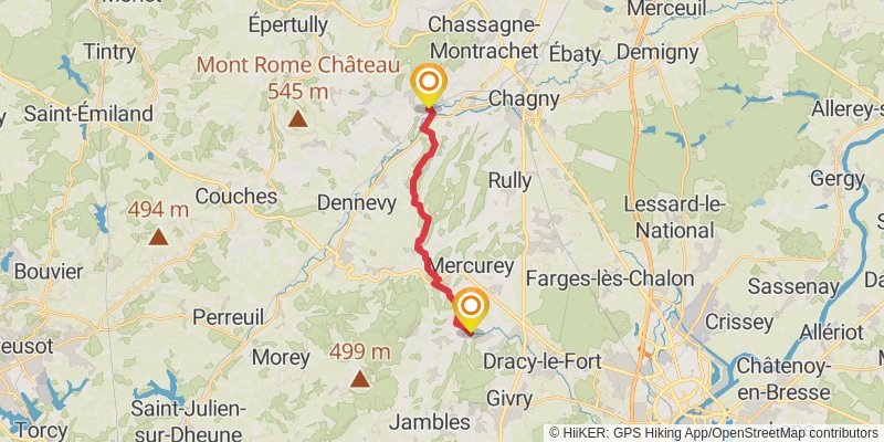
Starting at: Saint-Martin, Santenay, Côte-d'Or, 21590
Distance: 14.8 km
Elevation gain: 449 m
Duration: 03:42:10
stage 25
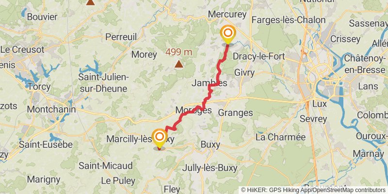
Starting at: Mellecey, Saône-et-Loire, 71640
Ending at: Cersot, Saône-et-Loire, 71390
Distance: 18.2 km
Elevation gain: 567 m
Duration: 04:35:14
stage 26
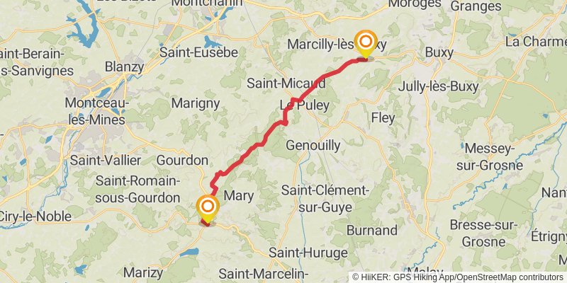
Starting at: Cersot, Saône-et-Loire, 71390
Ending at: Le Rousset-Marizy, Saône-et-Loire, 71220
Distance: 21.3 km
Elevation gain: 537 m
Duration: 05:08:42
alt 2
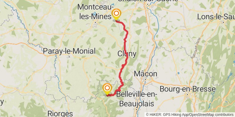
Starting at: Saint-Micaud, Saône-et-Loire, 71460
Ending at: Propières, Rhône, 69790
Distance: 85.2 km
Elevation gain: 2490 m
Duration: 21:11:59
stage 27
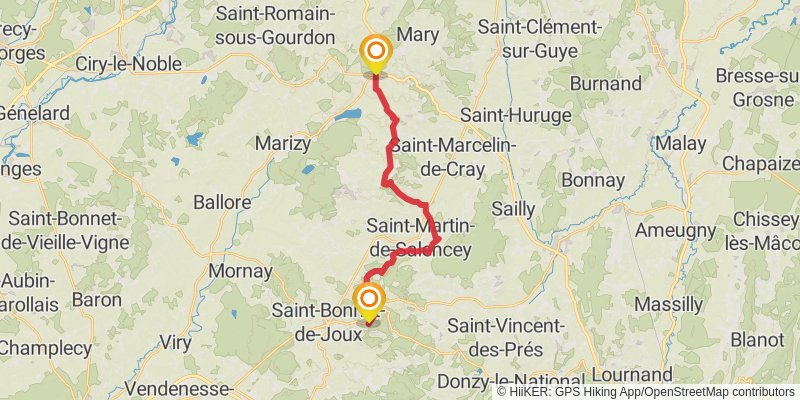
Ending at: Saint-Bonnet-de-Joux, Saône-et-Loire, 71220
Distance: 20.3 km
Elevation gain: 569 m
Duration: 05:00:22
stage 28
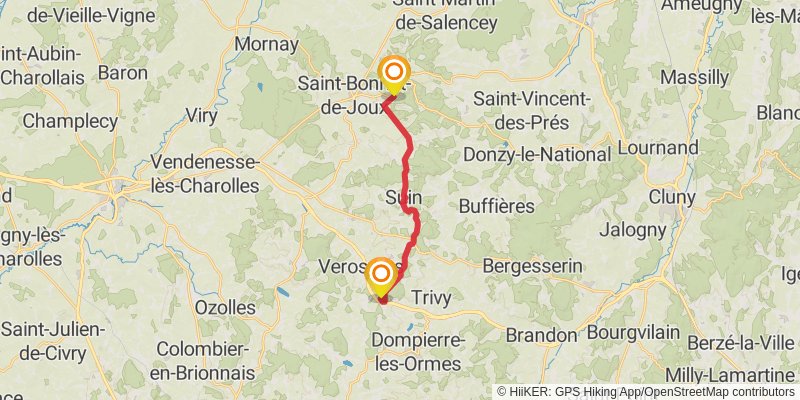
Starting at: Saint-Bonnet-de-Joux, Saône-et-Loire, 71220
Ending at: Verosvres, Saône-et-Loire, 71220
Distance: 13.6 km
Elevation gain: 398 m
Duration: 03:22:24