Download
Preview
Add to list
More
1456.2 km
~81 days
29924 m
Multi-Day
“Embark on the GR 7 for a historical and scenic 1456 km trek across France's diverse terrains.”
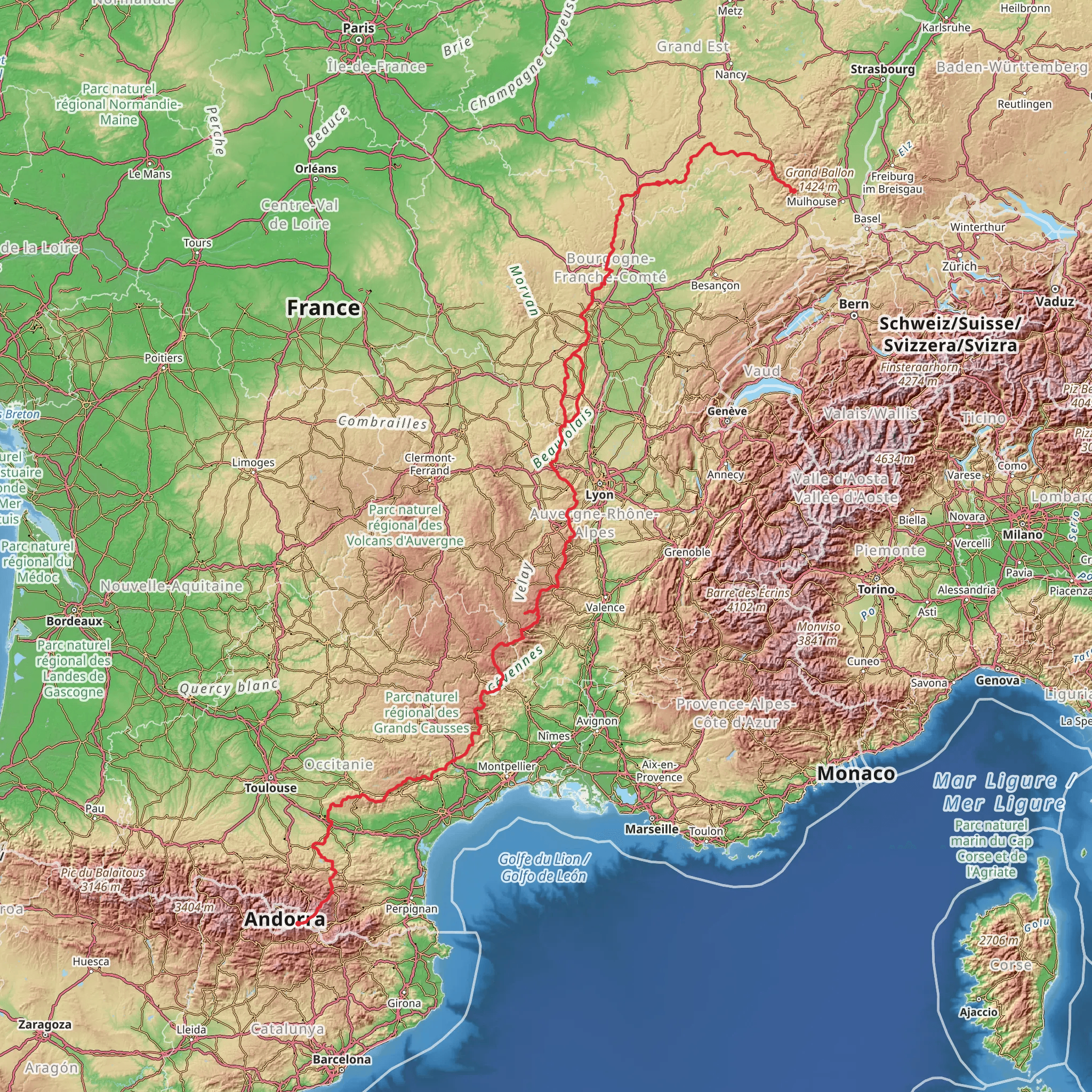
The GR 7 is a long-distance hiking trail that spans approximately 1456 kilometers (905 miles), with an elevation gain of around 29,900 meters (98,100 feet). This point-to-point trail begins near Épinal, a commune in northeastern France, and offers a medium difficulty rating, making it accessible to hikers with a reasonable level of fitness and experience.
Getting to the Trailhead
To reach the starting point of the GR 7, hikers can travel to Épinal, which is well-connected by both public transport and road networks. The nearest major airport is the Strasbourg International Airport. From there, one can take a train or bus to Épinal. If driving, Épinal is accessible via the A31 motorway, and there are parking facilities available for those who wish to leave their car at the trailhead.
Trail Overview
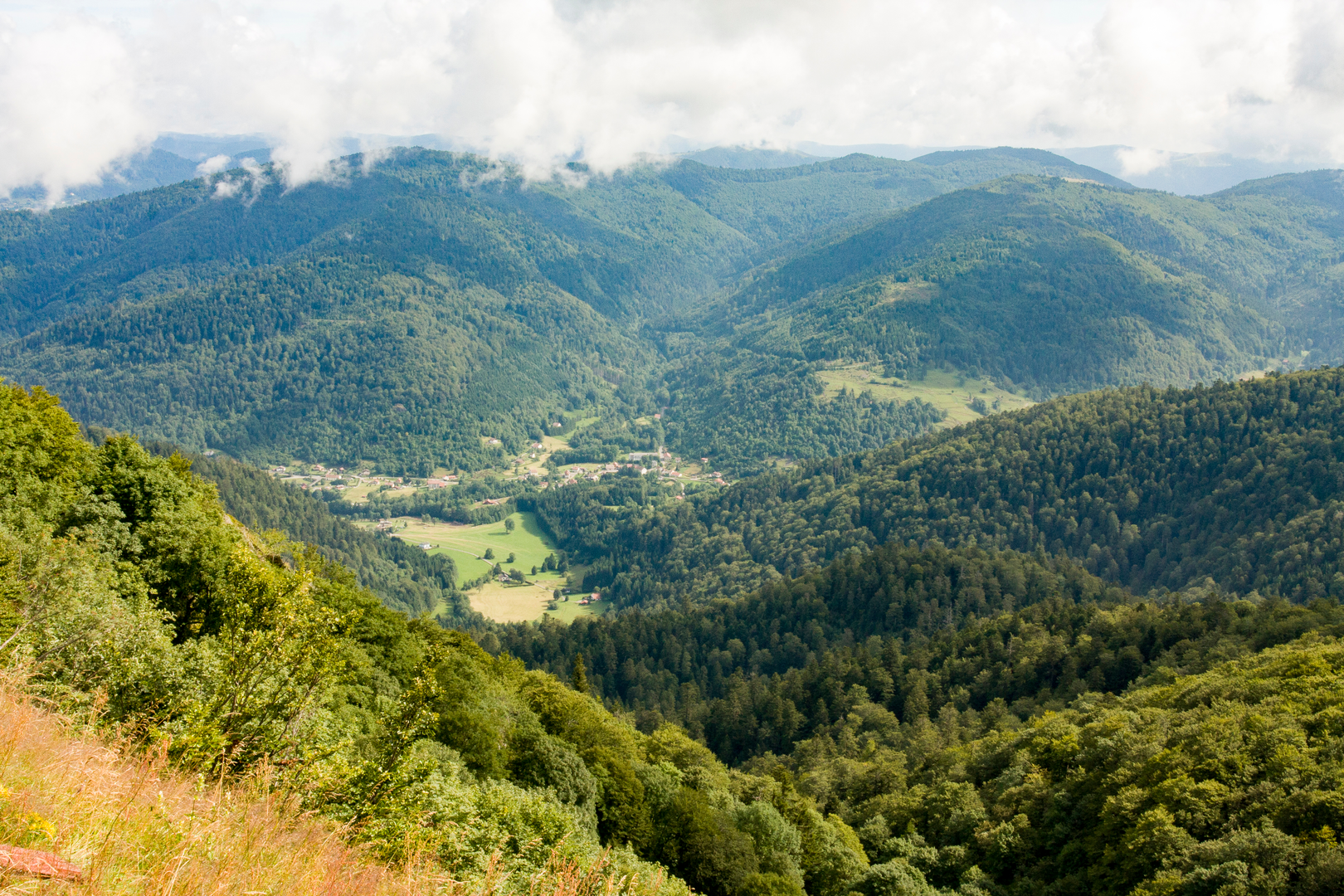
The trail meanders through diverse landscapes, including rolling hills, dense forests, and picturesque villages. As hikers embark on this journey, they will traverse the Vosges Mountains, which offer stunning vistas and challenging climbs. The trail continues southward, crossing through the historical regions of Franche-Comté and Burgundy, where vineyards and pastoral scenes dominate the landscape.
Historical Significance
The GR 7 passes through areas rich in history, including ancient Roman roads and medieval towns. Hikers will have the opportunity to explore historical landmarks such as the Abbey of Cluny, a former Benedictine monastery that was once the center of Western monasticism, and the town of Le Puy-en-Velay, known for its cathedral and as a starting point for the Camino de Santiago pilgrimage route.
Wildlife and Nature
The trail offers a chance to witness the diverse flora and fauna of the regions it crosses. In the Vosges Mountains, hikers might spot wildlife such as chamois, red deer, and a variety of bird species. The trail also passes through several national parks and nature reserves, where conservation efforts help to preserve the natural beauty of the areas.
Navigation and Planning
For navigation, hikers are encouraged to use the HiiKER app, which provides detailed maps and information about the GR 7. It's advisable to plan the hike in sections, as the entire trail can take several weeks to complete. Hikers should be prepared for varying weather conditions and carry appropriate gear for both warm and cold climates, as the trail covers a range of elevations and environments.
Accommodation and Supplies
Along the GR 7, there are numerous options for accommodation, including campsites, hostels, and guesthouses. It's important to book these in advance, especially during peak hiking seasons. There are also towns and villages along the route where hikers can resupply with food and water, but it's wise to carry enough provisions between these points, particularly in the more remote sections of the trail.
Safety and Preparedness
As with any long-distance hike, safety is paramount. Hikers should inform someone of their plans and expected return, carry a first-aid kit, and be aware of the signs of altitude sickness and dehydration. It's also important to have a contingency plan for emergencies and to be familiar with the local emergency services.
By preparing adequately and respecting the natural environment, hikers can enjoy the rich experiences that the GR 7 has to offer, from its historical treasures to its breathtaking landscapes.
Comments and Reviews
User comments, reviews and discussions about the GR 7, France.
5.0
average rating out of 5
5 rating(s)

