Lac de Serre-Ponçon trail stages
stage 1
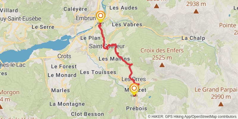
Starting at: Saint-Sauveur, Embrun
Ending at: Les Orres, Embrun, 05200
Distance: 12.0 km
Elevation gain: 990 m
Duration: 04:02:41
stage 2
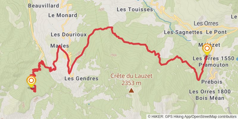
stage 3
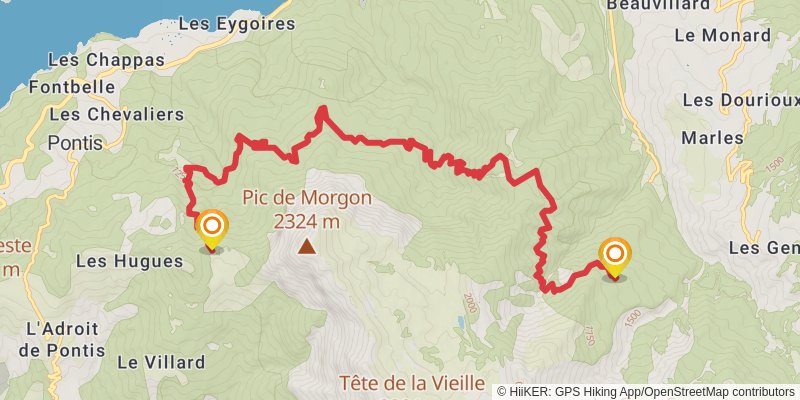
Starting at: Forêt de Boscodon, Crots, Hautes-Alpes, 05200
Distance: 14.9 km
Elevation gain: 1353 m
Duration: 05:14:31
spur 1
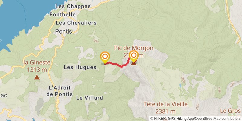
Ending at: Pic de Morgon, Crots, Hautes-Alpes, 05200
Distance: 2.7 km
Elevation gain: 778 m
Duration: 01:49:49
stage 4
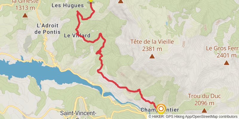
Ending at: Le Lauzet-Ubaye, Le Lauzet-Ubaye
Distance: 11.7 km
Elevation gain: 626 m
Duration: 03:22:50
stage 5
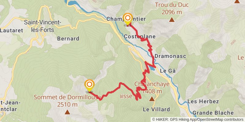
Starting at: Le Lauzet-Ubaye, Le Lauzet-Ubaye
Distance: 11.4 km
Elevation gain: 1332 m
Duration: 04:30:11
stage 6
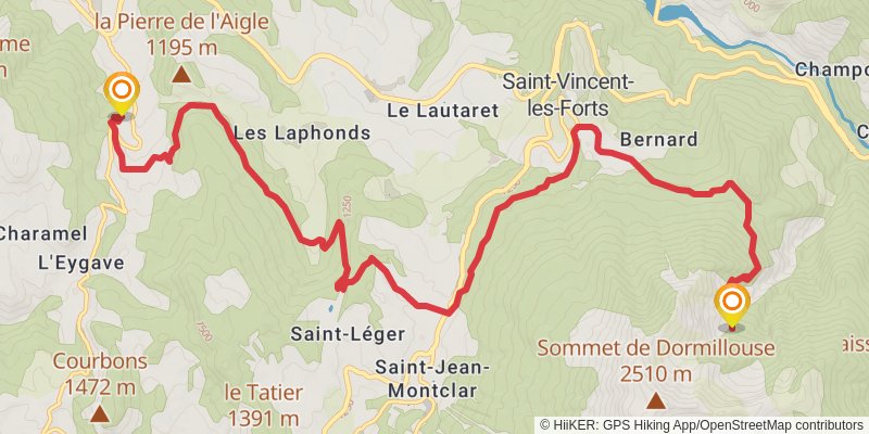
Distance: 16.5 km
Elevation gain: 442 m
Duration: 04:01:37
stage 7
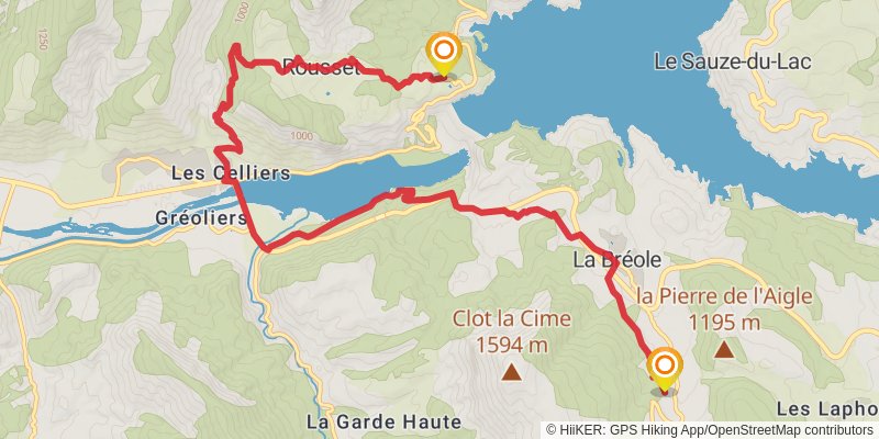
Starting at: Ubaye-Serre-Ponçon, Alpes-de-Haute-Provence, 04340
Ending at: Rousset, Hautes-Alpes, 05190
Distance: 14.5 km
Elevation gain: 581 m
Duration: 03:51:59
stage 8
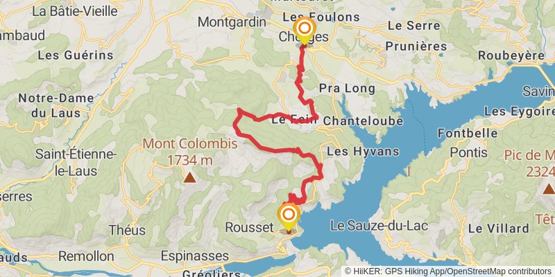
Starting at: Rousset, Hautes-Alpes, 05190
Ending at: Chorges, La Bâtie-Neuve, 05230
Distance: 19.4 km
Elevation gain: 1113 m
Duration: 05:44:02
stage 9
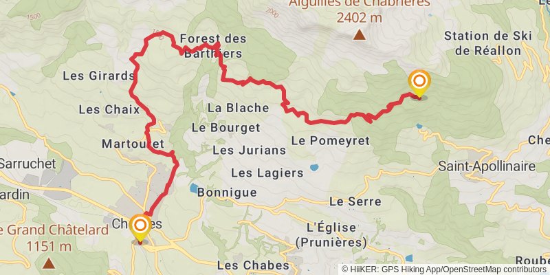
Starting at: Chorges, La Bâtie-Neuve, 05230
Distance: 14.2 km
Elevation gain: 1233 m
Duration: 04:54:10
alt 1
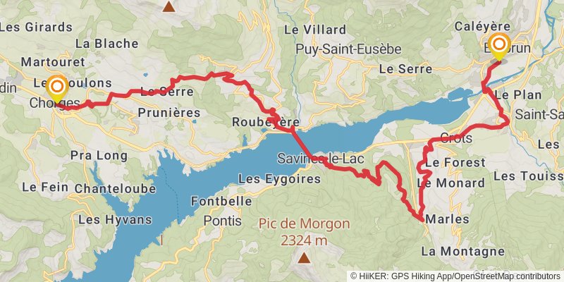
Starting at: Chorges, Les Nays, Chorges, Hautes-Alpes, 05230
Ending at: Les Allières, Embrun, Hautes-Alpes, 05200
Distance: 34.8 km
Elevation gain: 1375 m
Duration: 09:14:32
stage 10
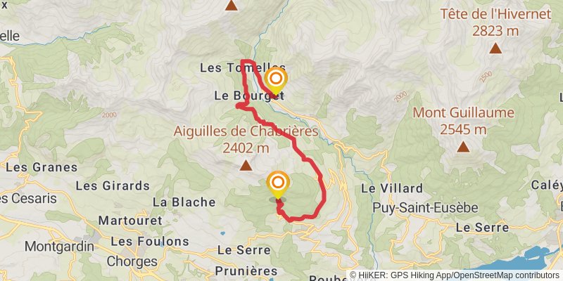
Distance: 14.0 km
Elevation gain: 718 m
Duration: 03:59:57
stage 11
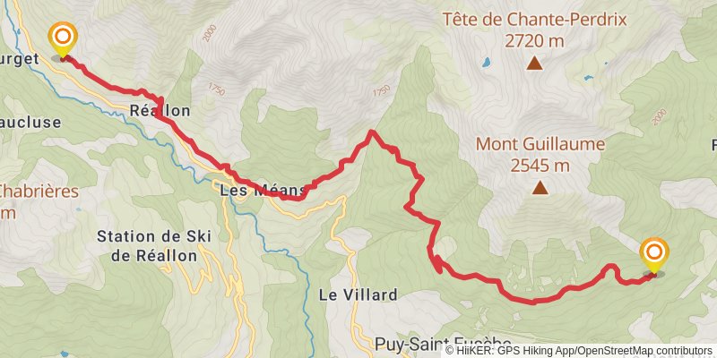
Starting at: Torrent de la Sauche, Réallon, Hautes-Alpes, 05160
Ending at: La Para, Embrun, Hautes-Alpes, 05200
Distance: 14.6 km
Elevation gain: 1029 m
Duration: 04:37:31
stage 12
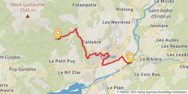
Starting at: La Para, Embrun, Hautes-Alpes, 05200
Ending at: Saint-Sauveur, Embrun
Distance: 8.3 km
Elevation gain: 101 m
Duration: 01:49:41