Tour of Mont Thabor trail stages
stage 1
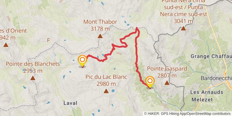
Starting at: Lac des Muandes, Nevache, Briançon
Distance: 17.1 km
Elevation gain: 702 m
Duration: 04:35:40
alt 1
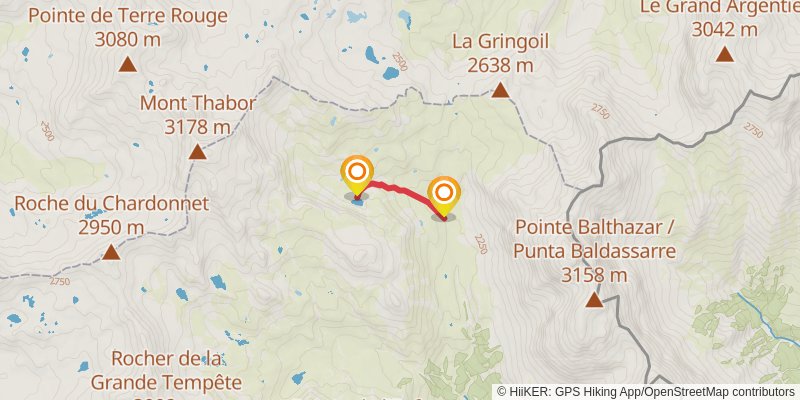
Starting at: Les Chances du Peyron, Névache, Hautes-Alpes, 05100
Distance: 1.5 km
Elevation gain: 1 m
Duration: 00:17:37
stage 2
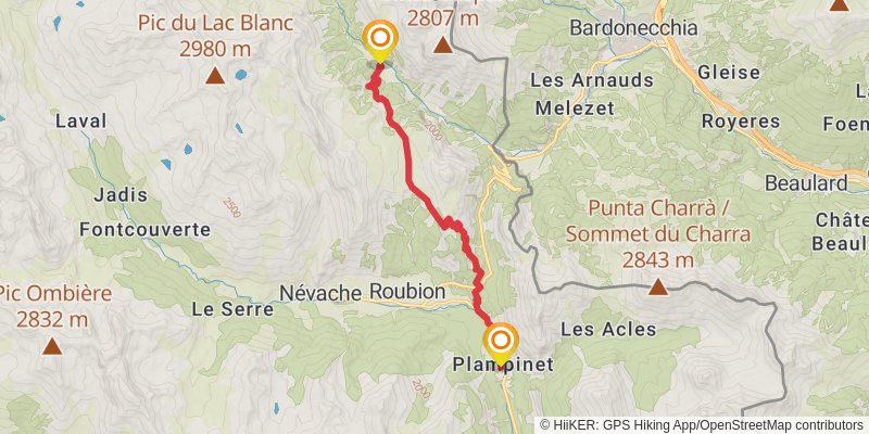
Starting at: Rifugio I Re Magi, Nevache, Briançon, 05100
Ending at: Plampinet, Névache, Hautes-Alpes, 05100
Distance: 11.6 km
Elevation gain: 726 m
Duration: 03:31:20
alt 2
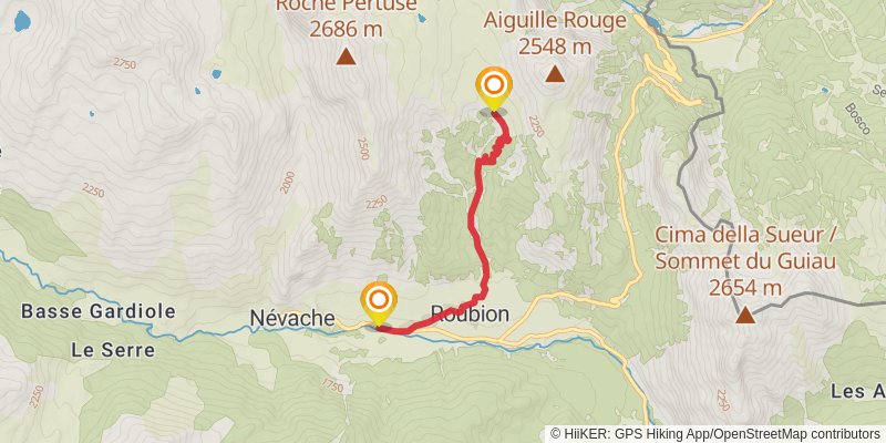
Starting at: Névache, Hautes-Alpes, 05100
Ending at: Nevache, Briancon
Distance: 4.5 km
Elevation gain: 28 m
Duration: 00:57:12
alt 3

Starting at: Névache, Hautes-Alpes, 05100
Ending at: Plampinet, Névache, Hautes-Alpes, 05100
Distance: 14.9 km
Elevation gain: 945 m
Duration: 04:33:00
stage 3
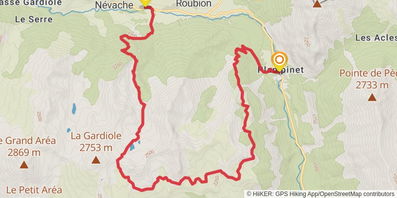
Starting at: Planpinet le four, Nevache, Briançon
Ending at: Ville Basse, Roubion, Hautes-Alpes, 05100
Distance: 17.9 km
Elevation gain: 1330 m
Duration: 05:48:04
alt 4
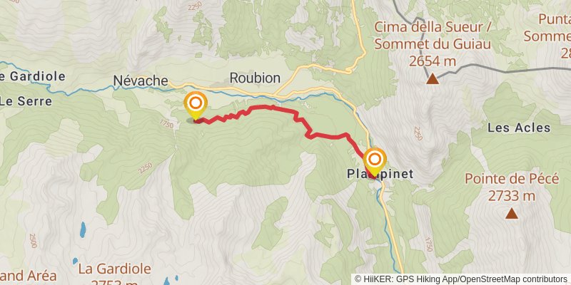
Starting at: Nevache, Briancon
Ending at: Roubion, Hautes-Alpes, 05100
Distance: 4.6 km
Elevation gain: 379 m
Duration: 01:33:41
stage 4
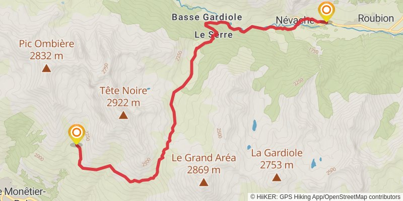
spur 1
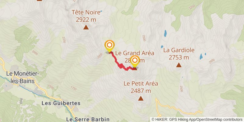
Ending at: Le Grand Aréa, Névache, Hautes-Alpes, 05100
Distance: 2.3 km
Elevation gain: 449 m
Duration: 01:12:34
stage 5
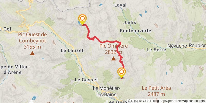
Distance: 12.1 km
Elevation gain: 1167 m
Duration: 04:22:03
spur 2
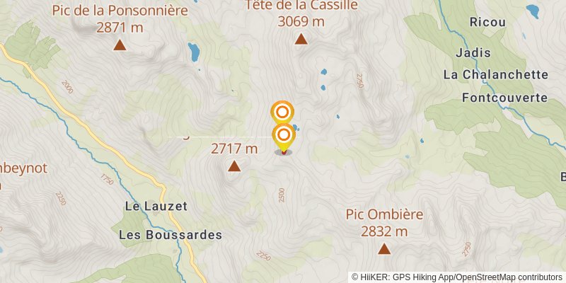
Distance: 465 m
Elevation gain: 62 m
Duration: 00:11:49
stage 6
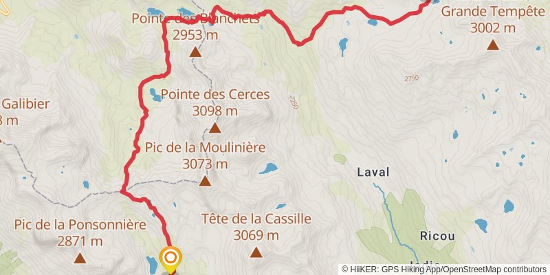
Starting at: Le Monêtier-les-Bains, Briançon, 05220
Ending at: Brune, Névache, Hautes-Alpes, 05100
Distance: 13.5 km
Elevation gain: 912 m
Duration: 04:13:12
spur 3
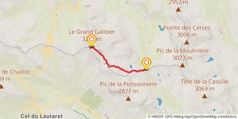
Distance: 3.2 km
Elevation gain: 605 m
Duration: 01:39:26