Download
Preview
Add to list
More
84.2 km
~6 days
4920 m
Multi-Day
“Embark on the Tour of Mont Thabor, a historic and biodiverse high-alpine adventure in the French Alps.”
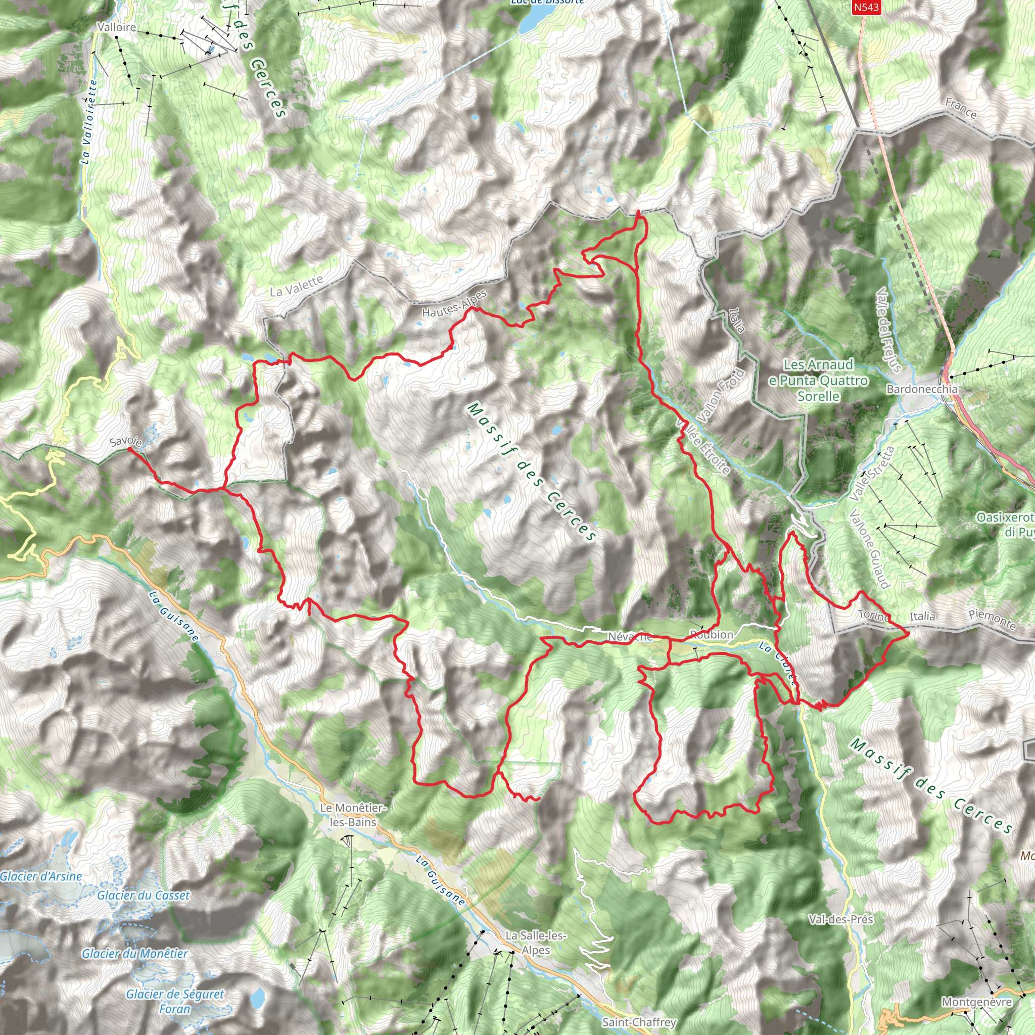
Embarking on the Tour of Mont Thabor, hikers will traverse approximately 84 kilometers (about 52 miles) of varied terrain, with an elevation gain of roughly 4900 meters (around 16,076 feet). This loop trail, known for its challenging nature, begins near the historic town of Briançon, France, nestled in the Hautes-Alpes region.
Getting to the Trailhead To reach the starting point of the Tour of Mont Thabor, hikers can drive to Briançon, which is well-connected by road. For those relying on public transport, regular buses and trains serve Briançon from major cities like Grenoble and Turin. Upon arrival in Briançon, the trailhead is accessible by local buses or a short taxi ride.
Navigating the Trail The loop can be tackled in a clockwise or counterclockwise direction, with HiiKER being an invaluable tool for navigation. It's essential to download the trail maps beforehand, as the area can have spotty cell service.
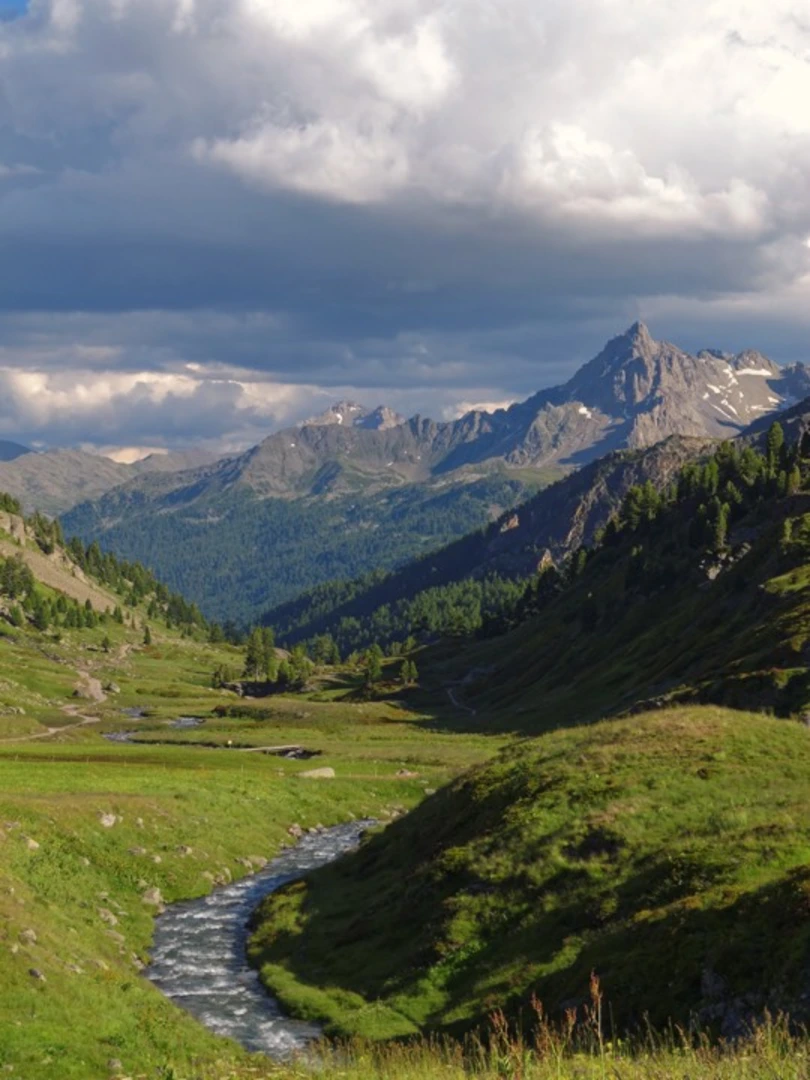
Trail Highlights and Landmarks The journey begins by ascending through lush alpine forests, with the first section taking hikers to the scenic Vallée Étroite, a valley known for its rich biodiversity. As the trail climbs, the vegetation thins, revealing breathtaking views of the surrounding peaks.
The path leads to the Mont Thabor itself, a historical and natural landmark standing at 3178 meters (over 10,400 feet). The mountain has a significant place in history, with fortifications dating back to the 17th century due to its strategic location near the French-Italian border.
Flora and Fauna Throughout the hike, adventurers will encounter a diverse range of flora, including alpine wildflowers and ancient larch trees. The area is also home to wildlife such as chamois, marmots, and golden eagles, so hikers should keep their cameras ready for these encounters.
Cultural Significance The region is steeped in history, with remnants of the past scattered along the trail. Hikers will pass by old military forts and chapels, including the 17th-century Fort du Randouillet near Briançon and the Chapelle Saint-Michel, a small chapel perched on a hill with panoramic views.
Preparation and Safety Given the trail's difficulty rating, hikers should be well-prepared with appropriate gear, including sturdy hiking boots, weather-appropriate clothing, and sufficient water and food supplies. The elevation gain is significant, so acclimatization to altitude and physical preparedness are crucial.
Weather Considerations The weather in the high mountains can be unpredictable, and hikers should be prepared for sudden changes in conditions. It's advisable to check the forecast regularly and plan for all eventualities.
Accommodation and Resupply Points There are several refuges along the trail where hikers can rest and resupply. These mountain huts offer basic accommodations and food, but it's wise to book in advance during the peak hiking season.
Environmental Stewardship Hikers are encouraged to practice Leave No Trace principles to preserve the natural beauty of the region. This includes packing out all trash, respecting wildlife, and staying on designated trails to minimize impact.
By preparing adequately and respecting the natural and historical significance of the Tour of Mont Thabor, hikers will have an unforgettable experience exploring one of the French Alps' hidden gems.
Comments and Reviews
User comments, reviews and discussions about the Tour of Mont Thabor, France.
4.5
average rating out of 5
6 rating(s)

