Florida National Scenic Trail trail stages
stage 1
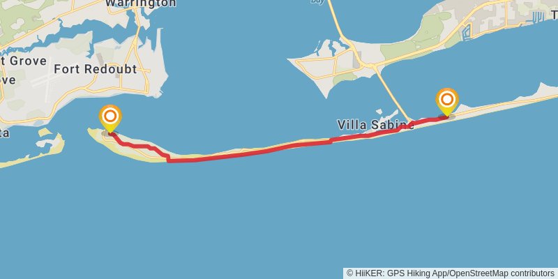
Ending at: Gulf Breeze, Escambia County, 32561
Distance: 17.2 km
Elevation gain: 30 m
Duration: 03:29:09
stage 2
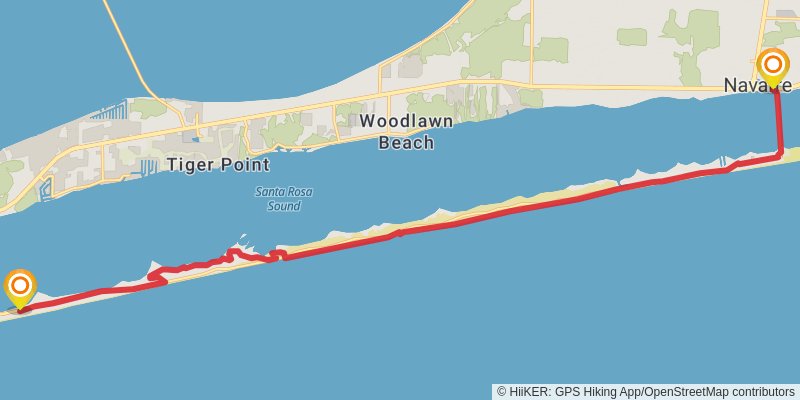
Starting at: Gulf Breeze, Escambia County, 32561
Ending at: Navarre, Santa Rosa County, 32566
Distance: 30.9 km
Elevation gain: 64 m
Duration: 06:17:34
stage 3
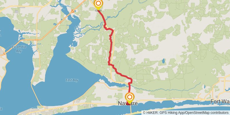
Starting at: Navarre, Santa Rosa County, 32566
Ending at: East Milton, Santa Rosa County, 32583
Distance: 29.8 km
Elevation gain: 210 m
Duration: 06:18:43
stage 4

Starting at: East Milton, Santa Rosa County, 32583
Ending at: Harold, Santa Rosa County, 32583
Distance: 16.5 km
Elevation gain: 137 m
Duration: 03:31:58
stage 5
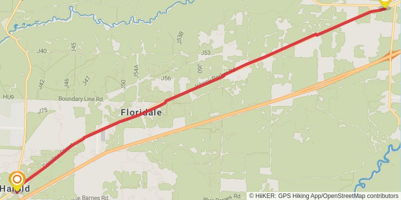
Starting at: Harold, Santa Rosa County, 32583
Ending at: Harold, Okaloosa County, 32564
Distance: 14.5 km
Elevation gain: 31 m
Duration: 02:56:41
spur 1
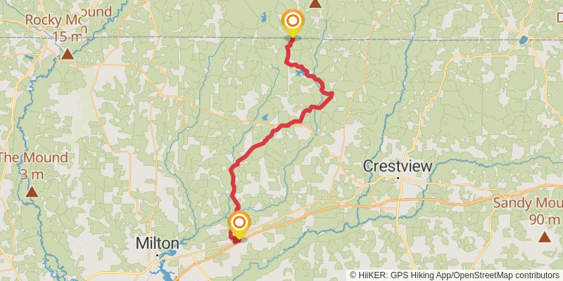
Starting at: Harold, Santa Rosa County, 32583
Ending at: Baker, Okaloosa County, 32531
Distance: 64.4 km
Elevation gain: 580 m
Duration: 13:50:22
stage 6
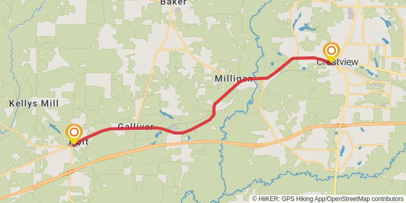
Starting at: Harold, Okaloosa County, 32564
Ending at: Crestview, Okaloosa County, 32536
Distance: 19.1 km
Elevation gain: 112 m
Duration: 04:00:17
stage 7
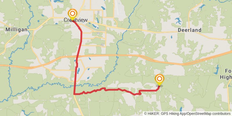
Starting at: Crestview, Okaloosa County, 32536
Ending at: Okaloosa County, 32593
Distance: 21.0 km
Elevation gain: 114 m
Duration: 04:22:49
stage 8
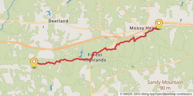
Starting at: Jr. Walton Pond, Okaloosa County
Ending at: Mossy Head, Walton County, 32434
Distance: 23.1 km
Elevation gain: 321 m
Duration: 05:09:15
stage 9
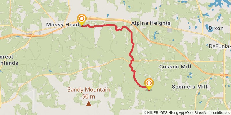
Starting at: Mossy Head, Walton County, 32434
Ending at: Alaqua Campsite, Walton County
Distance: 16.3 km
Elevation gain: 233 m
Duration: 03:38:39
stage 10
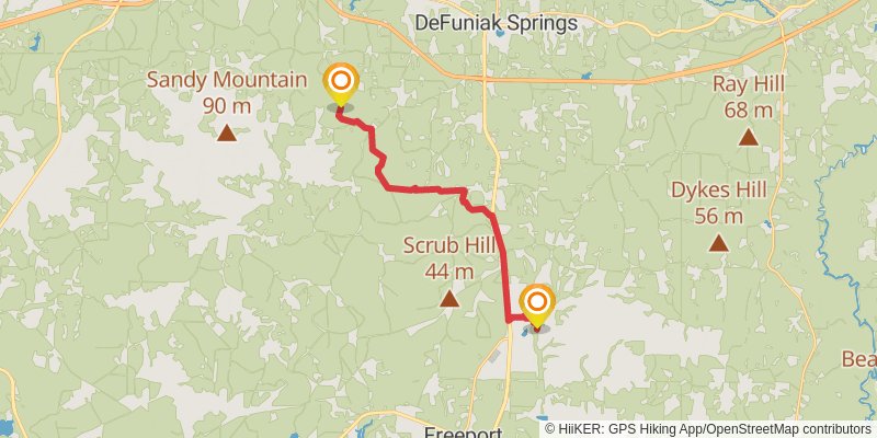
Starting at: Steele Church, Walton County, 32434
Ending at: Freeport, Walton County, 32435
Distance: 24.5 km
Elevation gain: 282 m
Duration: 05:21:52
stage 11
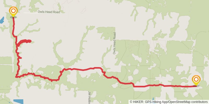
Starting at: Rock Hill, Walton County, 32435
Ending at: Walton County, 32455
Distance: 21.0 km
Elevation gain: 189 m
Duration: 04:31:23
stage 12
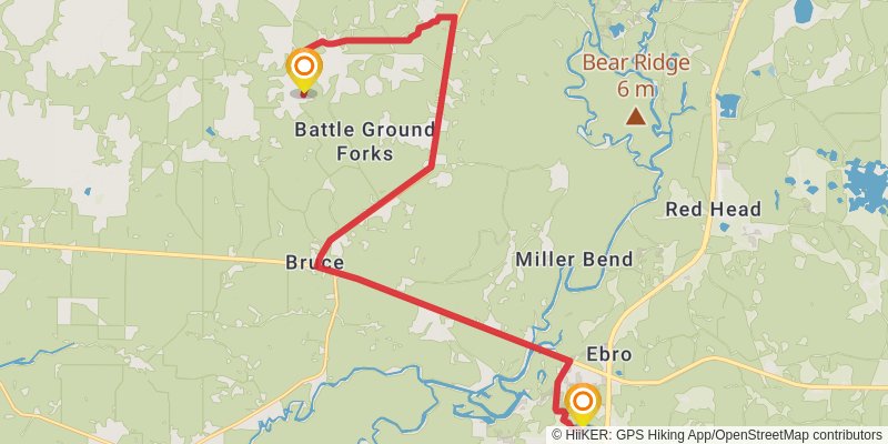
Ending at: Ebro, Washington County, 32437
Distance: 26.3 km
Elevation gain: 100 m
Duration: 05:25:36
stage 13
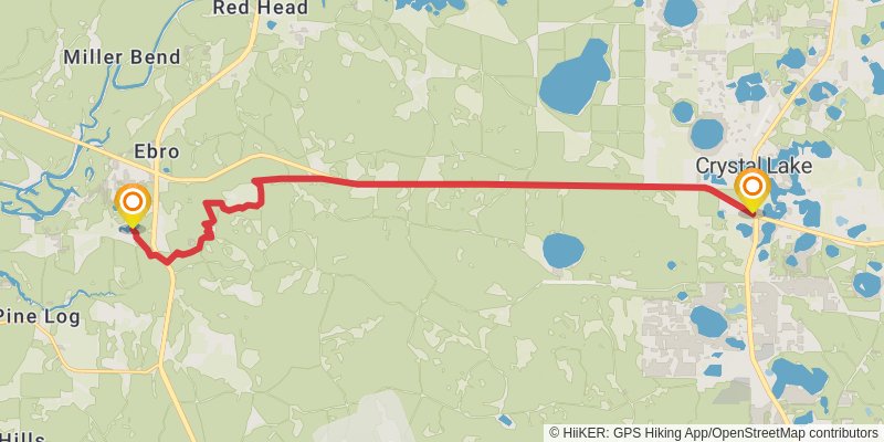
Starting at: Ebro, Washington County, 32437
Ending at: Panama City, Bay County, 32409
Distance: 22.7 km
Elevation gain: 80 m
Duration: 04:40:07
stage 14
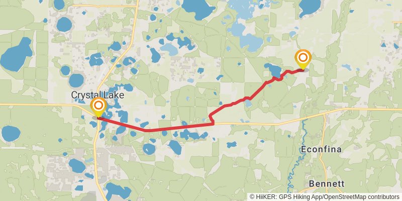
Starting at: Panama City, Bay County, 32409
Ending at: Youngstown, Washington County, 32466
Distance: 15.9 km
Elevation gain: 122 m
Duration: 03:22:39
stage 15
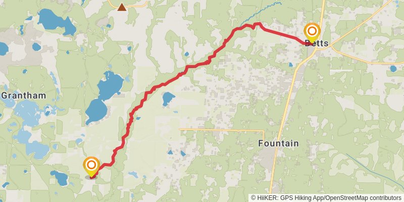
Starting at: Grantham, Youngstown, Washington County, 32466
Ending at: Fountain, Bay County, 32438
Distance: 22.3 km
Elevation gain: 176 m
Duration: 04:45:20
stage 16
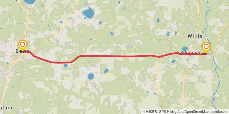
Starting at: Fountain, Bay County, 32438
Ending at: Altha, Calhoun County, 32421
Distance: 22.2 km
Elevation gain: 55 m
Duration: 04:32:11
stage 17
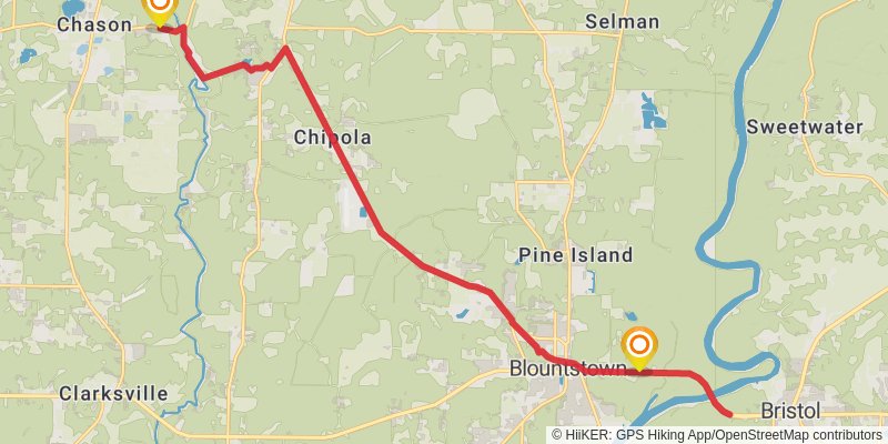
Starting at: Altha, Calhoun County, 32421
Ending at: Blountstown, Calhoun County, 32424
Distance: 27.7 km
Elevation gain: 205 m
Duration: 05:53:23
stage 18
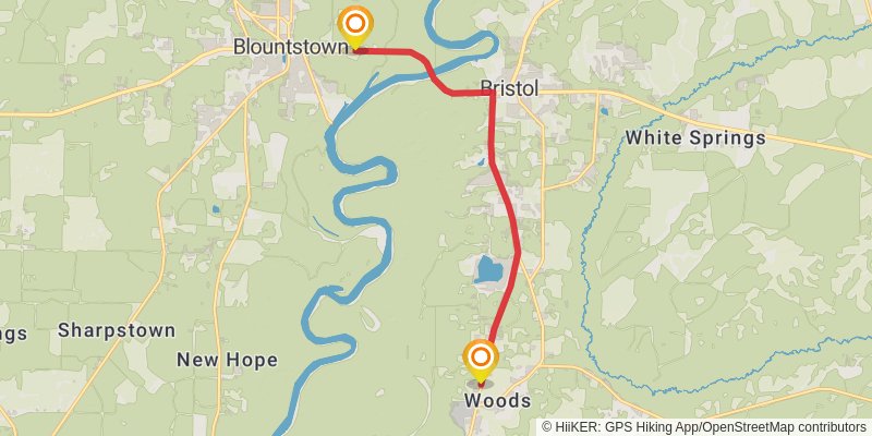
Starting at: Blountstown, Calhoun County, 32424
Ending at: Lake Mystic, Liberty County, 32321
Distance: 15.1 km
Elevation gain: 125 m
Duration: 03:13:22
stage 19
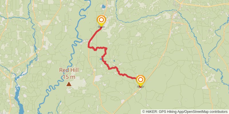
Starting at: Lake Mystic, Liberty County, 32321
Ending at: Bristol, Liberty County, 32321
Distance: 28.7 km
Elevation gain: 64 m
Duration: 05:50:42
stage 20
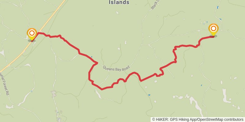
Starting at: Bristol, Liberty County, 32321
Ending at: Liberty County
Distance: 15.6 km
Elevation gain: 26 m
Duration: 03:09:57
stage 21
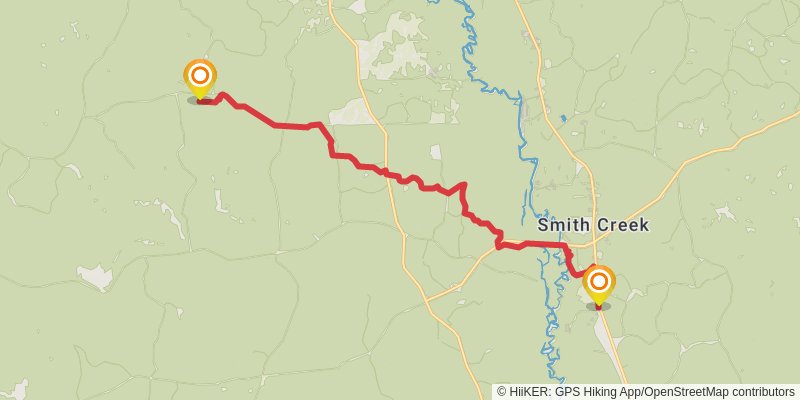
Starting at: Smith Creek, Wakulla County
Ending at: Sopchoppy, Wakulla County, 32358
Distance: 19.7 km
Elevation gain: 76 m
Duration: 04:04:05
stage 22
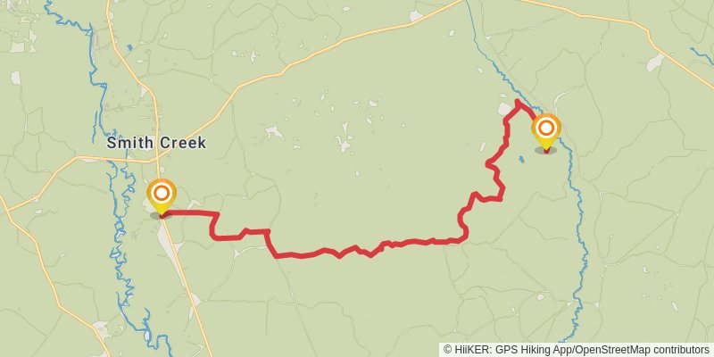
Starting at: Sopchoppy, Wakulla County, 32358
Ending at: Wakulla County
Distance: 24.5 km
Elevation gain: 22 m
Duration: 04:56:27
stage 23
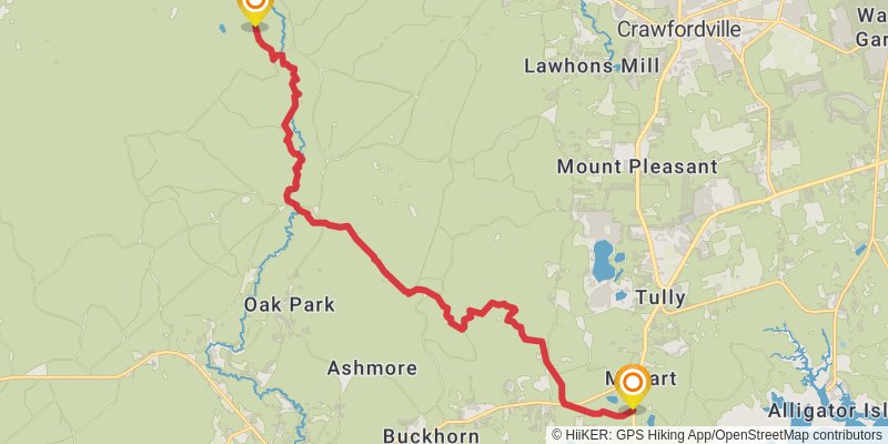
Starting at: Smith Creek, Wakulla County
Ending at: Panacea, Wakulla County, 32327
Distance: 23.1 km
Elevation gain: 91 m
Duration: 04:46:15
stage 24
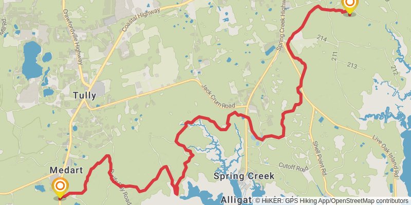
Starting at: Hyde Park, Panacea, Wakulla County, 32327
Ending at: Crawfordville, Wakulla County, 32327
Distance: 20.8 km
Elevation gain: 39 m
Duration: 04:13:48
stage 25
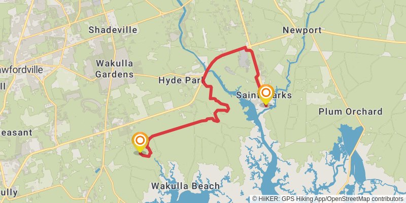
Starting at: Crawfordville, Wakulla County, 32327
Ending at: St. Marks, Wakulla County, 32355
Distance: 19.7 km
Elevation gain: 14 m
Duration: 03:58:12
stage 26
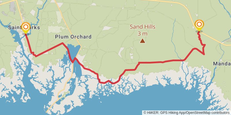
Starting at: St. Marks, Wakulla County, 32355
Ending at: Monticello, Jefferson County, 32344
Distance: 31.5 km
Elevation gain: 22 m
Duration: 06:20:36
stage 27
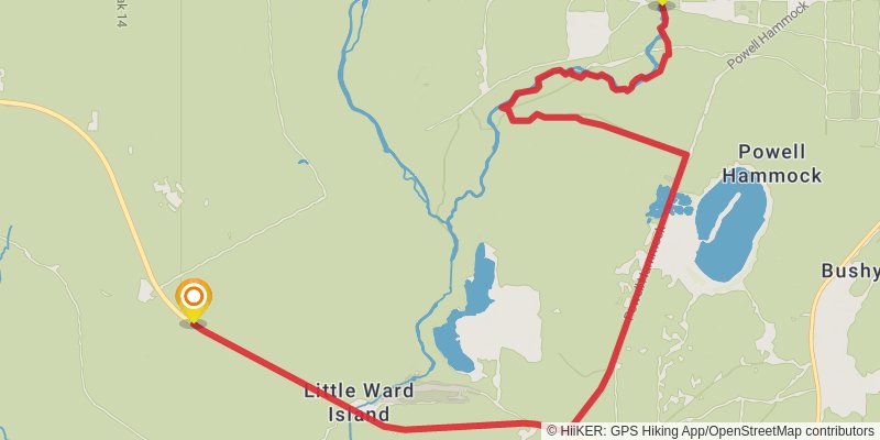
Starting at: Monticello, Wakulla County, 32344
Ending at: Monticello, Taylor County, 32344
Distance: 17.9 km
Elevation gain: 27 m
Duration: 03:37:23
stage 28
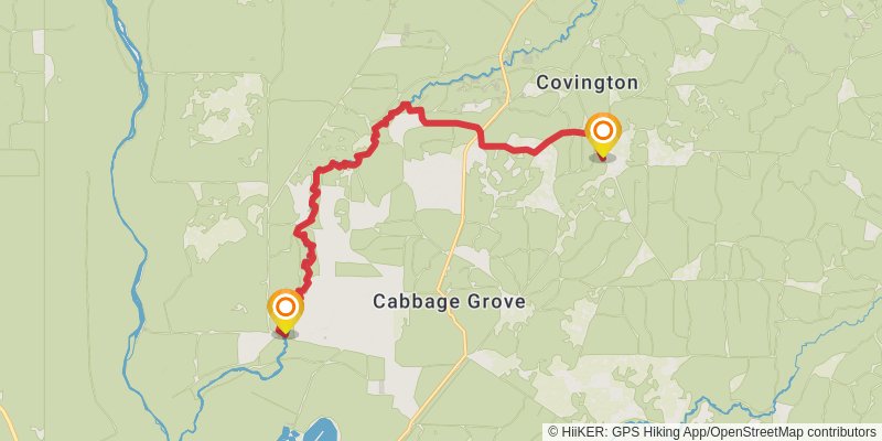
Starting at: Aucilla River, Lamont, Taylor County, 32336
Ending at: Greenville, Taylor County, 32331
Distance: 20.0 km
Elevation gain: 66 m
Duration: 04:07:09
stage 29
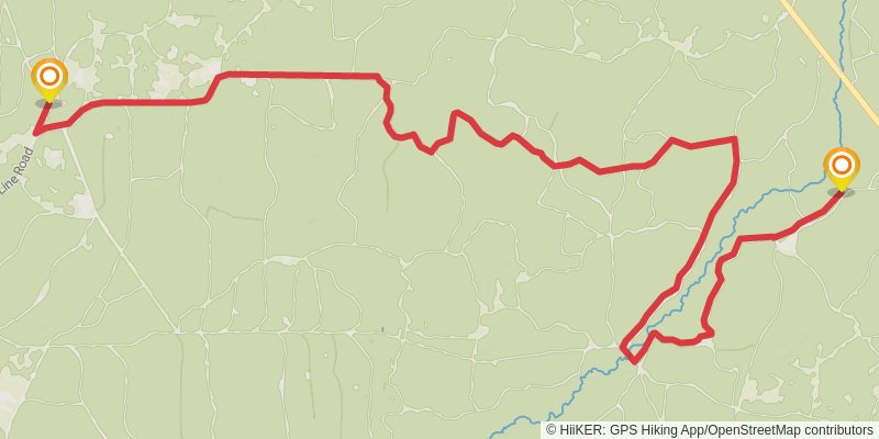
Starting at: Cabbage Grove, Greenville, Taylor County, 32331
Ending at: Taylor County
Distance: 22.4 km
Elevation gain: 14 m
Duration: 04:30:07