Download
3D Flyover
Add to list
More
1731.4 km
~59 days
1616 m
Multi-Day
“Embark on a scenic 1,075-mile journey from Gulf shores to Everglades, traversing Florida's diverse wilderness and history.”
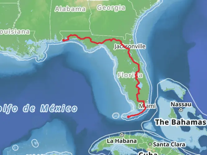
Spanning approximately 1,075 miles (1,731 kilometers) and with an elevation gain of around 5,250 feet (1,600 meters), the Florida National Scenic Trail offers a unique trek through some of the most picturesque landscapes of the Sunshine State. Starting near the Gulf Islands National Seashore close to Escambia County, the trail stretches to the southern terminus in Big Cypress National Preserve.
Getting to the Trailhead
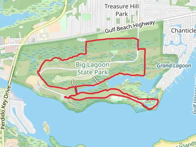
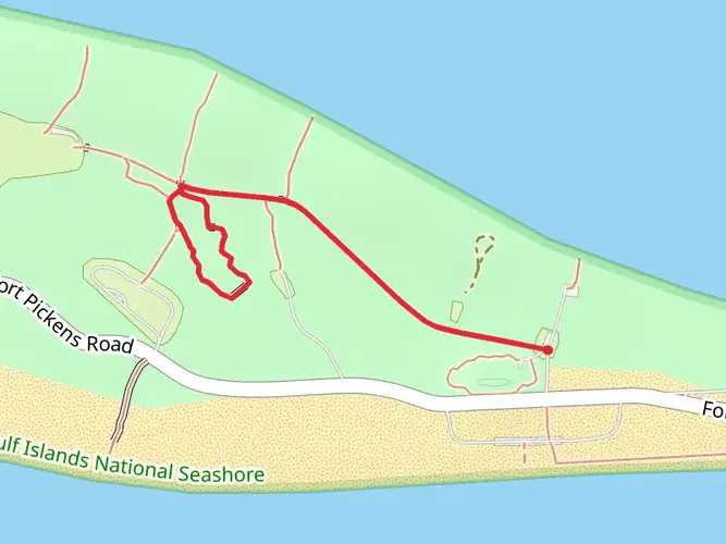
To reach the northern trailhead, hikers can drive to the Gulf Islands National Seashore near Pensacola, which is the closest city with significant transportation links. If you're coming by public transport, you can take a bus or a taxi from Pensacola to the trailhead area. For those driving, parking is available near the start of the trail.
Navigating the Trail
The Florida National Scenic Trail is well-marked, but due to its length and diversity of ecosystems, it's recommended to use a reliable navigation tool like HiiKER to keep track of your progress and ensure you're on the right path.
Trail Highlights and Landmarks
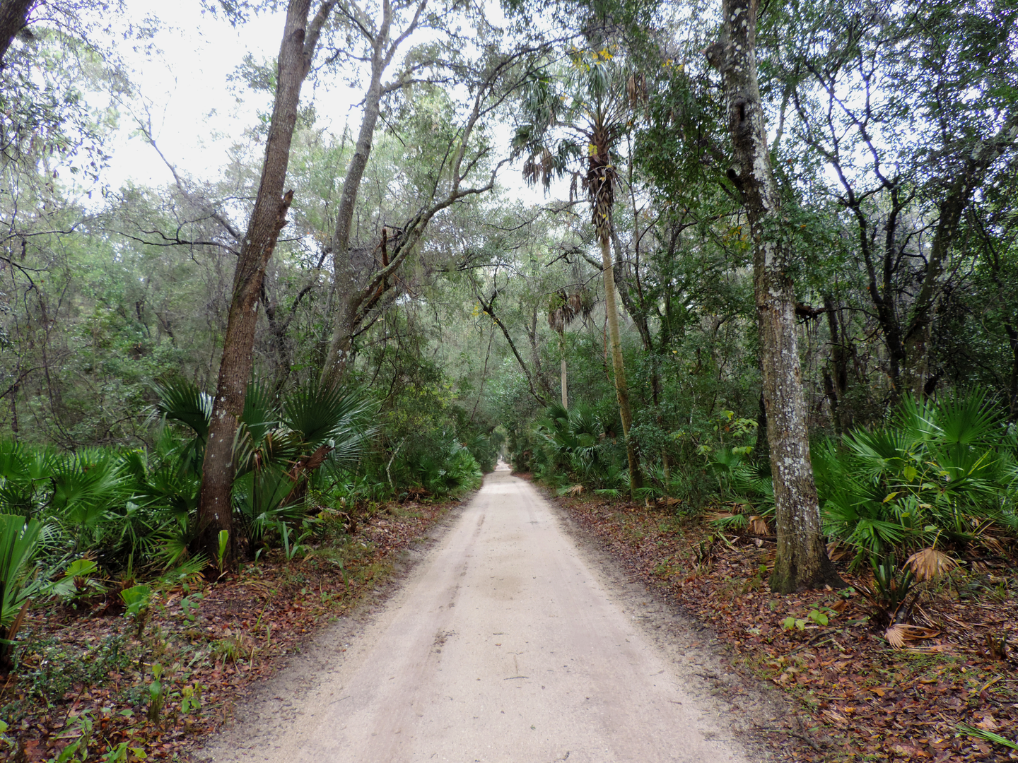
As you embark on your journey, you'll traverse a variety of terrains including sandy beaches, pine flatwoods, hardwood hammocks, and swampy wetlands. The trail offers a chance to experience the unique ecosystems of Florida, such as the longleaf pine forests of the Panhandle and the subtropical wilderness of the Everglades.
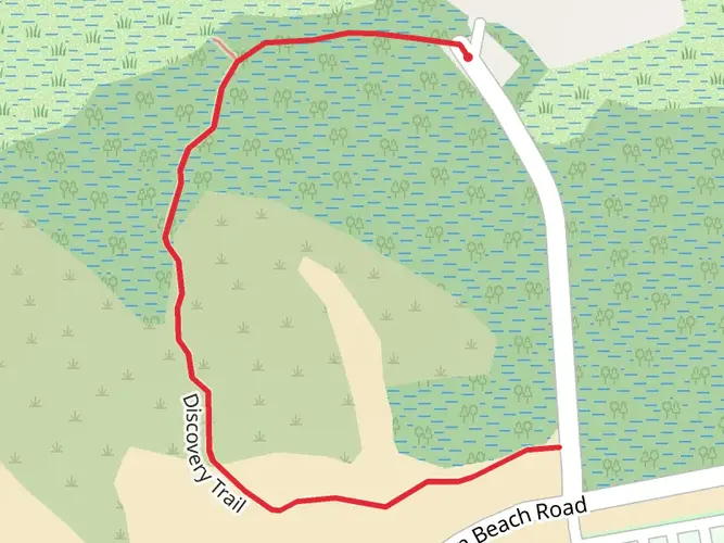
One of the first significant landmarks you'll encounter is the Blackwater River State Forest, approximately 30 miles (48 kilometers) from the trailhead. This area is known for its beautiful, flowing rivers and extensive network of trails.
Further along, around 300 miles (483 kilometers) into your hike, you'll reach the Suwannee River section, where the trail meanders alongside the river's high banks, offering stunning views and the chance to spot local wildlife.
The trail also passes through the Ocala National Forest, roughly at the midpoint of the trail, around 500 miles (805 kilometers) from the start. Here, you can explore the largest contiguous sand pine scrub forest in the world and swim in the crystal-clear springs dotting the area.
As you approach the southern end of the trail, the Big Cypress National Preserve awaits. This section, which is about 70 miles (113 kilometers) long, will challenge you with its swampy terrain. However, the unique flora and fauna, including orchids, alligators, and the elusive Florida panther, make it a memorable experience.
Wildlife and Nature
Throughout the trail, you'll have the opportunity to observe a diverse array of wildlife. Birdwatchers will delight in the variety of bird species, while the wetlands and forests are home to alligators, black bears, and numerous other animals. Remember to keep a safe distance from wildlife and to store food securely.
Historical Significance
The trail traverses lands rich in history, from Native American heritage sites to remnants of early European settlements. The region's history is reflected in the landscape, with historical markers and interpretive signs along the way.
Preparation and Planning
Given the trail's length and diversity, it's crucial to plan your hike carefully. Water sources can be scarce in some sections, so carry an adequate supply and a means of water purification. The weather in Florida can be unpredictable, with the potential for extreme heat, heavy rain, and even hurricanes during certain seasons. Pack appropriate gear, including rain protection and sunblock.
Conclusion
The Florida National Scenic Trail is a journey through the heart of Florida's natural beauty and cultural history. Whether you're a section-hiker or a thru-hiker, this trail offers a unique adventure that showcases the best of Florida's landscapes and wildlife. Remember to leave no trace and enjoy the diverse experiences this trail has to offer.

What to expect?
Activity types
Comments and Reviews
User comments, reviews and discussions about the Florida National Scenic Trail, Florida.
4.94
average rating out of 5
17 rating(s)