Thames Valley Loop Walk trail stages
stage 1
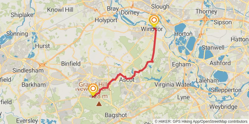
Distance: 19.2 km
Elevation gain: 249 m
Duration: 04:15:34
stage 2
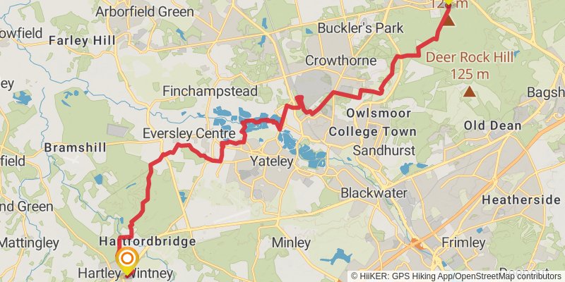
Starting at: Bracknell Forest, RG12 9PY
Ending at: The Cricketers, Hart, Hampshire, RG27 8QB
Distance: 21.9 km
Elevation gain: 246 m
Duration: 04:47:13
stage 3
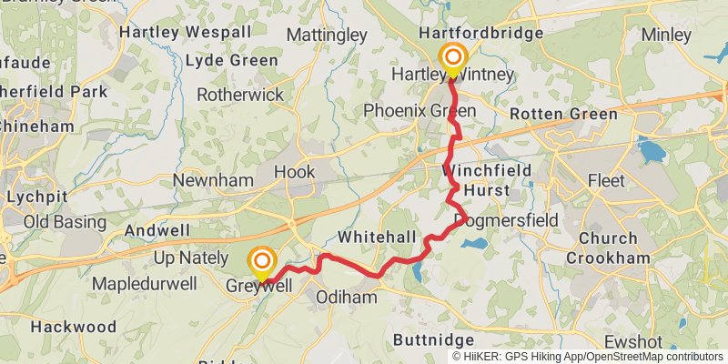
Starting at: Hartley Wintney, Hart, Hampshire, RG27 8QE
Ending at: Hart, Hampshire, RG29 1BY
Distance: 11.7 km
Elevation gain: 108 m
Duration: 02:30:56
stage 4

Starting at: Greywell, Hart, Hampshire, RG29 1BY
Distance: 29.7 km
Elevation gain: 455 m
Duration: 06:42:16
stage 5
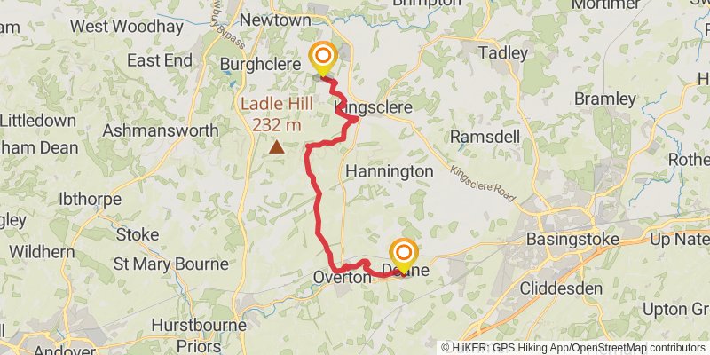
Starting at: Deane, Basingstoke and Deane, Hampshire, RG25 3AX
Ending at: Basingstoke and Deane, Hampshire, RG20 4TR
Distance: 19.9 km
Elevation gain: 271 m
Duration: 04:26:19
stage 6
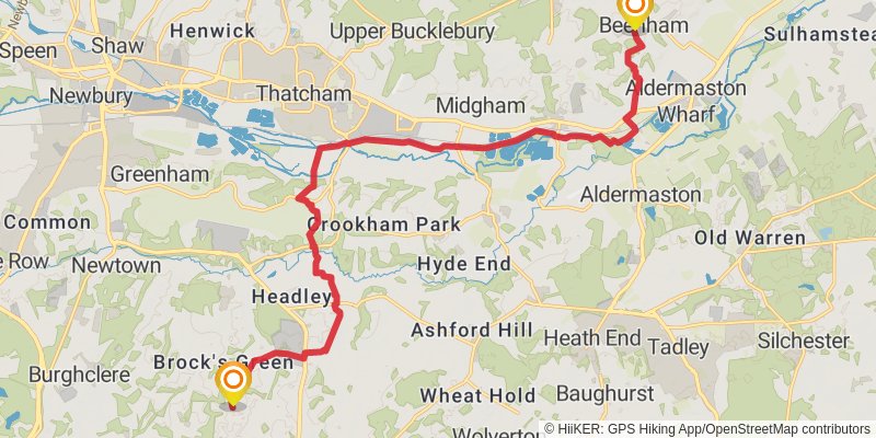
Ending at: Beenham, West Berkshire, RG7 5NN
Distance: 18.7 km
Elevation gain: 169 m
Duration: 04:01:52
stage 7
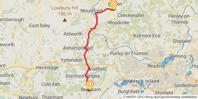
Starting at: Beenham, West Berkshire, RG7 5NN
Ending at: South Oxfordshire, Oxfordshire, OX10 6AN
Distance: 23.4 km
Elevation gain: 445 m
Duration: 05:25:14
stage 8

Starting at: Ipsden, South Oxfordshire, Oxfordshire, OX10 6AN
Ending at: Turville, Buckinghamshire, RG9 6QX
Distance: 19.0 km
Elevation gain: 451 m
Duration: 04:33:22
stage 9
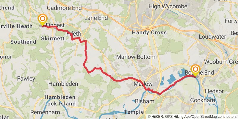
Starting at: Turville, Buckinghamshire, RG9 6QX
Distance: 18.0 km
Elevation gain: 239 m
Duration: 04:00:08
stage 10
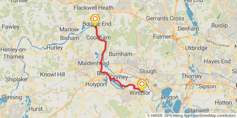
Starting at: Bourne End, Buckinghamshire, SL8 5RP
Distance: 18.9 km
Elevation gain: 89 m
Duration: 03:55:50