Download
Preview
Add to list
More
11.7 km
~3 hrs 27 min
669 m
Loop
“Experience stunning views, rich history, and diverse wildlife on this moderately challenging 12 km loop in the Howgill Fells.”
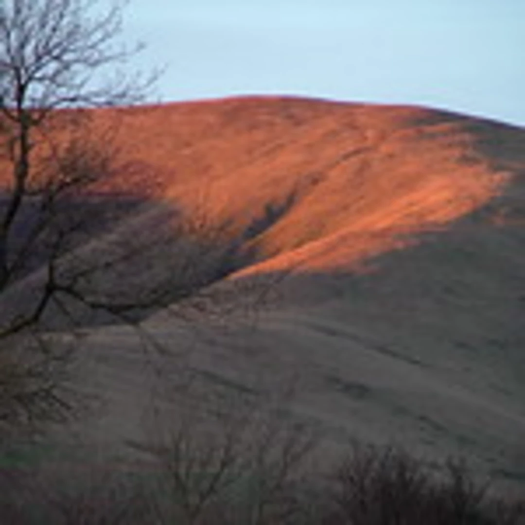
Starting near Westmorland and Furness, England, this 12 km (approximately 7.5 miles) loop trail offers a moderately challenging hike with an elevation gain of around 600 meters (about 1,970 feet). The trailhead is accessible by car, with parking available at the nearby Sedbergh School, or by public transport with buses running from Kendal to Sedbergh.### Initial Ascent and The CalfThe hike begins with a steady ascent towards The Calf, the highest point in the Howgill Fells. The initial climb is gradual but consistent, gaining about 300 meters (984 feet) in the first 3 km (1.86 miles). As you ascend, you'll be treated to expansive views of the surrounding fells and valleys. The terrain here is a mix of grassy paths and rocky sections, so sturdy footwear is recommended.### Calders and Great DummacksFrom The Calf, the trail continues towards Calders, which is approximately 1.5 km (0.93 miles) away. This section is relatively flat, allowing you to catch your breath and enjoy the panoramic views. Calders itself offers a fantastic vantage point to see the rolling hills and distant Lake District peaks. Continuing on, the trail leads you to Great Dummacks, another 2 km (1.24 miles) further. This part of the hike involves a descent followed by another ascent, adding another 200 meters (656 feet) of elevation gain. The path here can be narrow and steep in places, so take care, especially in wet conditions.### Flora, Fauna, and Historical SignificanceThe Howgill Fells are known for their unique flora and fauna. Keep an eye out for red squirrels, roe deer, and a variety of bird species including skylarks and curlews. The area is also rich in wildflowers during the spring and summer months, adding a splash of color to the green landscape.Historically, the Howgill Fells have been used for sheep farming for centuries, and you may encounter grazing sheep along the way. The region is steeped in history, with ancient stone walls and farmsteads dotting the landscape, remnants of a bygone era.### Navigation and SafetyGiven the open and often featureless terrain, it's advisable to use a reliable navigation tool like HiiKER to stay on track. Weather conditions can change rapidly, so be prepared with appropriate clothing and gear. The trail can be boggy in places, especially after rain, so waterproof boots are a good idea.### Return to TrailheadThe final leg of the loop brings you back towards Sedbergh, descending gradually over 4 km (2.48 miles). This section offers a gentle walk down, allowing you to enjoy the serene beauty of the fells one last time before reaching the trailhead.Whether you're a seasoned hiker or someone looking for a moderately challenging day out, this loop offers a rewarding experience with its stunning views, rich history, and diverse wildlife.

What to expect?
Activity types
Comments and Reviews
User comments, reviews and discussions about the The Calf, Calders and Great Dummacks Loop, England.
4.67
average rating out of 5
3 rating(s)