11.5 km
~2 hrs 30 min
118 m
“This 12 km trail from Littleworth to Watling Street offers scenic views, historical intrigue, and moderate challenges.”
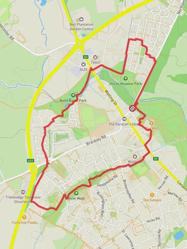
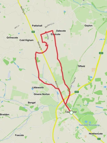
Starting near West Northamptonshire, England, this 12 km (approximately 7.5 miles) point-to-point trail offers a moderate challenge with an elevation gain of around 100 meters (328 feet). The trailhead is accessible by car, with parking available near the village of Littleworth. For those using public transport, the nearest significant landmark is the Northampton railway station, from where you can take a local bus or taxi to Littleworth.
### Initial Stretch: Littleworth to Grafton Way The trail begins in the quaint village of Littleworth, characterized by its traditional English countryside charm. As you set off, you'll traverse through open fields and gentle rolling hills. The first 3 km (1.9 miles) are relatively flat, making for a pleasant warm-up. Keep an eye out for local wildlife such as rabbits and various bird species, including skylarks and kestrels.
### Midway: Grafton Way Around the 5 km (3.1 miles) mark, you'll intersect with Grafton Way. This section of the trail is particularly scenic, featuring a mix of woodland and open meadows. The elevation starts to increase slightly here, offering panoramic views of the surrounding countryside. The flora is diverse, with oak, beech, and ash trees lining the path. This area is also rich in history, with remnants of ancient Roman roads and settlements. Make sure to take a moment to appreciate the historical significance of the region.
### Final Stretch: Grafton Way to Watling Street As you continue towards Watling Street, the trail becomes more undulating, with a few short but steep climbs. The last 4 km (2.5 miles) are the most challenging, but the effort is rewarded with stunning views and a sense of accomplishment. Watling Street itself is an ancient Roman road, historically significant as a major route in Roman Britain. The trail ends near this historic landmark, providing a fitting conclusion to your hike.
### Navigation and Safety For navigation, it's highly recommended to use the HiiKER app, which offers detailed maps and real-time updates. The trail is well-marked, but having a reliable navigation tool ensures you stay on track. Always carry sufficient water, snacks, and a basic first-aid kit. Weather in this region can be unpredictable, so pack a waterproof jacket and wear sturdy hiking boots.
### Getting There If driving, set your GPS to Littleworth, West Northamptonshire. Parking is available near the village center. For public transport users, take a train to Northampton railway station, then a local bus or taxi to Littleworth. The trailhead is easily accessible from the village, making it convenient for both local and visiting hikers.
This trail offers a blend of natural beauty, moderate physical challenge, and historical intrigue, making it a rewarding experience for hikers of all levels.
Reviews
User comments, reviews and discussions about the Littleworth to Watling Street via Grafton Way, England.
0.0
average rating out of 5
0 rating(s)


