Coast to Coast - Southern England trail stages
stage 1
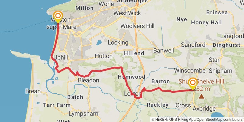
Starting at: North Somerset
Ending at: Sedgemoor, Somerset, BS26 2JJ
Distance: 18.6 km
Elevation gain: 497 m
Duration: 04:32:24
stage 2
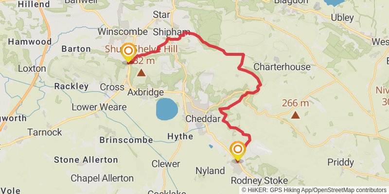
Starting at: Sedgemoor, Somerset, BS26 2JJ
Ending at: Charter House, Mendip, Somerset, BS27 3UA
Distance: 15.8 km
Elevation gain: 574 m
Duration: 04:06:51
stage 3
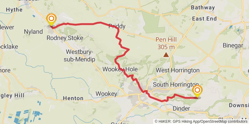
Starting at: Mendip, Somerset, BS27 3SW
Ending at: Mendip, Somerset, BA5 3RG
Distance: 18.2 km
Elevation gain: 538 m
Duration: 04:32:47
stage 4
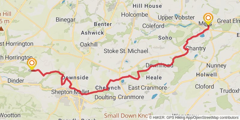
Starting at: Mendip, Somerset, BA5 3PP
Ending at: Mendip, Somerset, BA11 3QQ
Distance: 20.8 km
Elevation gain: 367 m
Duration: 04:46:11
stage 5
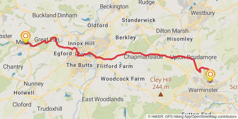
stage 6
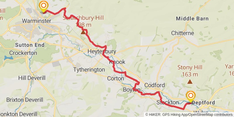
stage 7
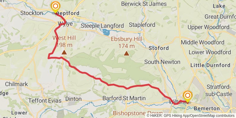
Starting at: Fisherton de la Mere, Wiltshire, BA12 0PZ
Ending at: Wilton, Wiltshire, SP2 9AG
Distance: 18.1 km
Elevation gain: 311 m
Duration: 04:07:42
stage 8
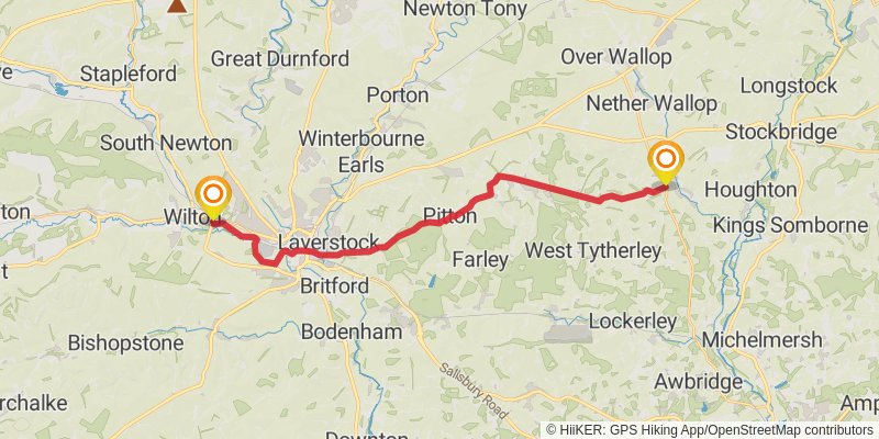
Starting at: Quidhampton, Wiltshire, SP2 9AG
Ending at: Test Valley, Hampshire, SO20 8BU
Distance: 23.4 km
Elevation gain: 388 m
Duration: 05:19:49
stage 9
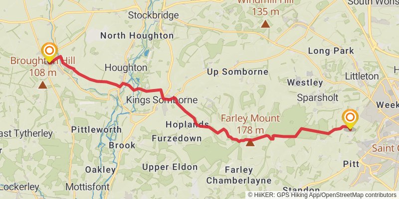
Starting at: Test Valley, Hampshire, SO20 8BU
Distance: 17.6 km
Elevation gain: 359 m
Duration: 04:06:45
stage 10
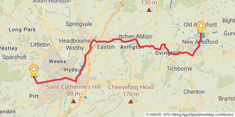
Starting at: Winchester, Hampshire, SO22 5QL
Ending at: Winchester, Hampshire, SO24 9DF
Distance: 20.1 km
Elevation gain: 250 m
Duration: 04:25:58
stage 11
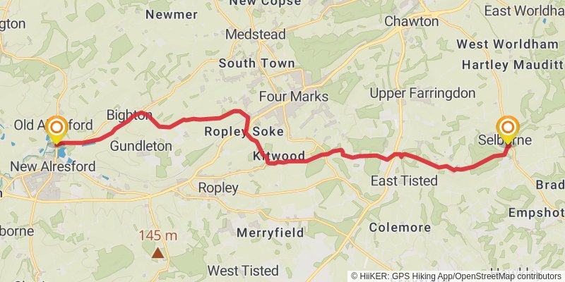
Starting at: Winchester, Hampshire, SO24 9DG
Distance: 18.3 km
Elevation gain: 347 m
Duration: 04:14:06
stage 12
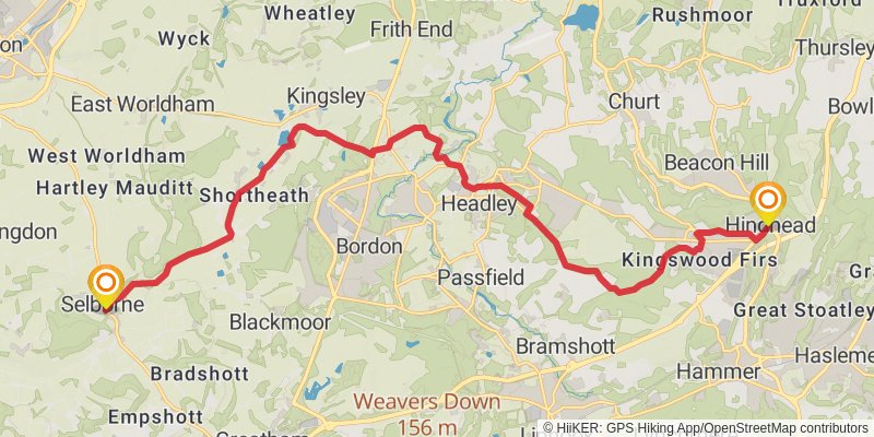
Starting at: East Hampshire, Hampshire, GU34 3JP
Ending at: Crossroads, Waverley, Surrey, GU26 6FF
Distance: 20.8 km
Elevation gain: 391 m
Duration: 04:49:05
stage 13
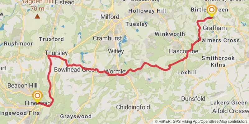
Starting at: Waverley, Surrey, GU26 6AA
Ending at: Rooks Hill Farm, Waverley, Surrey, GU5 0LX
Distance: 22.9 km
Elevation gain: 386 m
Duration: 05:13:19
stage 14
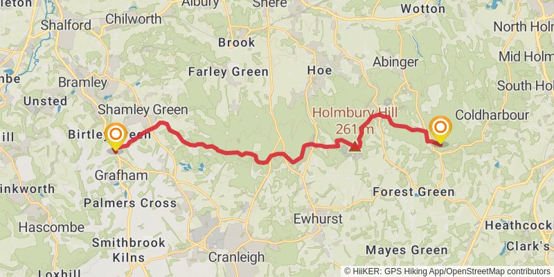
Starting at: Waverley, Surrey, GU5 0LX
Ending at: Mole Valley, Surrey, RH5 6LX
Distance: 14.8 km
Elevation gain: 515 m
Duration: 03:49:32
stage 15
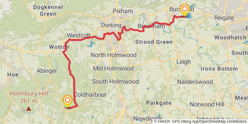
Starting at: Wotton, Mole Valley, Surrey, RH5 6LX
Distance: 18.7 km
Elevation gain: 282 m
Duration: 04:12:42
stage 16
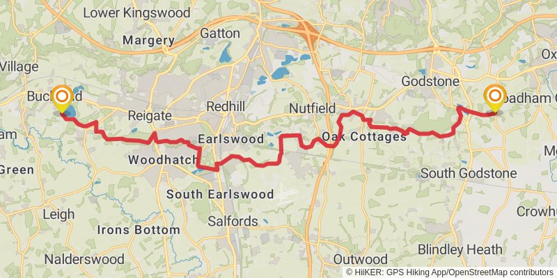
Starting at: Mole Valley, Surrey, RH3
Ending at: Tandridge, Surrey, RH8 9NN
Distance: 21.3 km
Elevation gain: 444 m
Duration: 05:00:25
stage 17
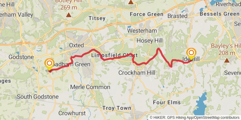
stage 18
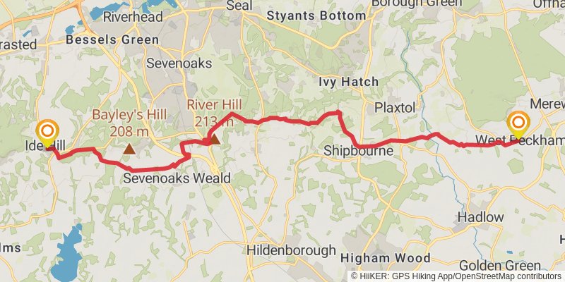
stage 19
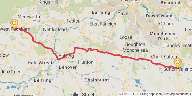
Starting at: Tonbridge and Malling, Kent, ME18 5JL
Ending at: Kings Head, Maidstone, Kent, ME17 3HR
Distance: 19.9 km
Elevation gain: 337 m
Duration: 04:32:58
stage 20
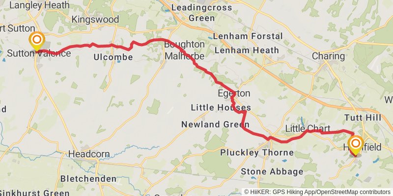
Starting at: Kent, ME17 3HR
Ending at: Ashford, Kent, TN26 1EP
Distance: 20.9 km
Elevation gain: 317 m
Duration: 04:42:42
stage 21
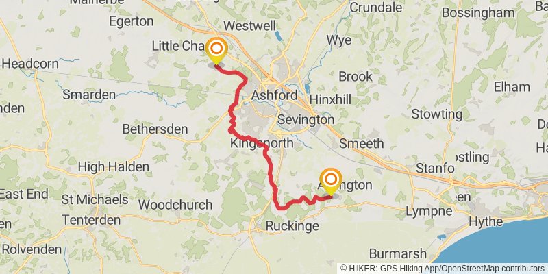
Starting at: Kent, TN26 1EJ
Ending at: Ashford, Kent, TN25 7AL
Distance: 19.6 km
Elevation gain: 188 m
Duration: 04:13:46
stage 22
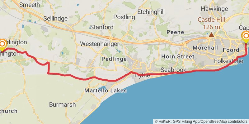
stage 23
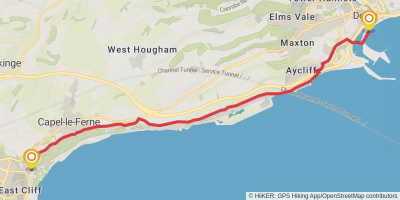
Starting at: Folkestone and Hythe, Kent, CT19 6PL
Distance: 9.8 km
Elevation gain: 400 m
Duration: 02:37:59