Cross Britain Way trail stages
stage 1
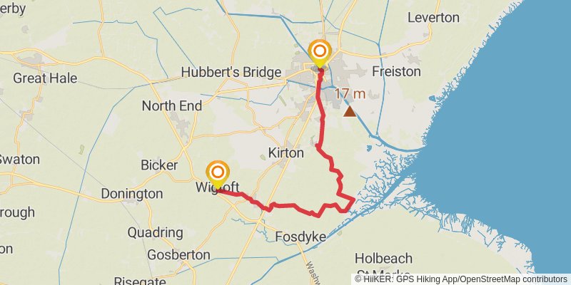
Starting at: Bargate, Lincolnshire, PE21 6ND
Distance: 22.1 km
Elevation gain: 70 m
Duration: 04:32:10
stage 2

Starting at: Wigtoft, Lincolnshire, PE20 2NJ
Distance: 19.8 km
Elevation gain: 58 m
Duration: 04:03:48
stage 3
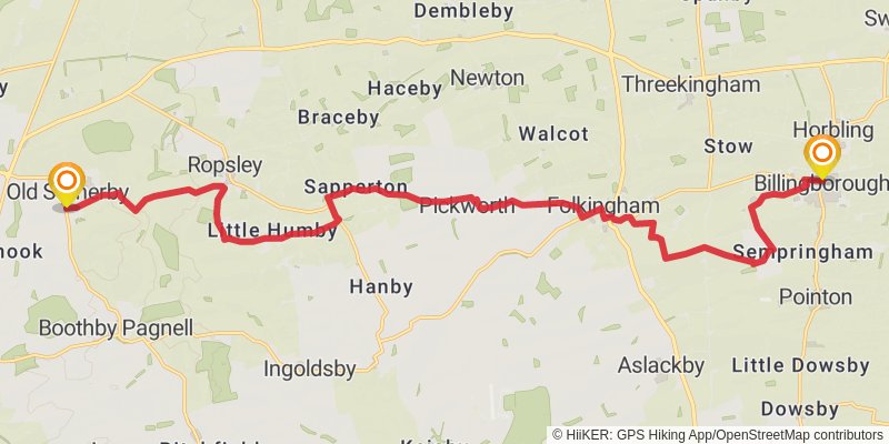
Ending at: South Kesteven, Lincolnshire, NG33 4AD
Distance: 21.7 km
Elevation gain: 216 m
Duration: 04:41:36
stage 4
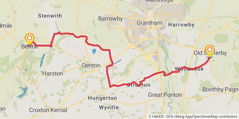
Starting at: Old Somerby, South Kesteven, Lincolnshire, NG33 4AD
Distance: 20.9 km
Elevation gain: 203 m
Duration: 04:30:54
stage 5

Starting at: Belvoir, Melton, Leicestershire, NG32 1PE
Distance: 21.4 km
Elevation gain: 268 m
Duration: 04:43:11
stage 6

Starting at: Hickling, Rushcliffe, Nottinghamshire, LE14 3AL
Distance: 20.1 km
Elevation gain: 179 m
Duration: 04:18:43
stage 7
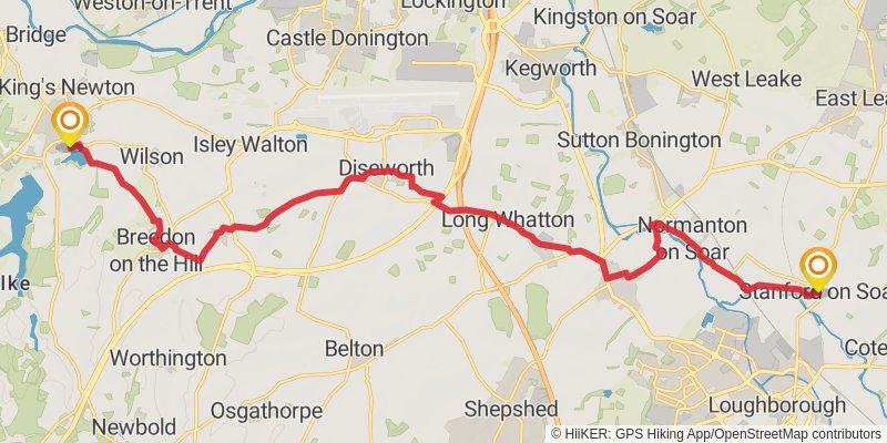
Ending at: South Derbyshire, Derbyshire, DE73 8EP
Distance: 21.5 km
Elevation gain: 261 m
Duration: 04:44:03
stage 8
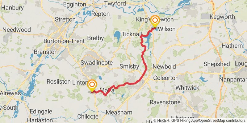
Ending at: South Derbyshire, Derbyshire, DE12 6NF
Distance: 21.0 km
Elevation gain: 281 m
Duration: 04:40:36
stage 9
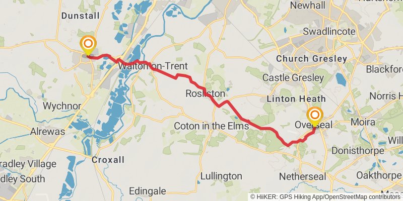
Starting at: Overseal, South Derbyshire, Derbyshire, DE12 6NJ
Ending at: East Staffordshire, Staffordshire, DE13 8DP
Distance: 13.4 km
Elevation gain: 96 m
Duration: 02:50:58
stage 10
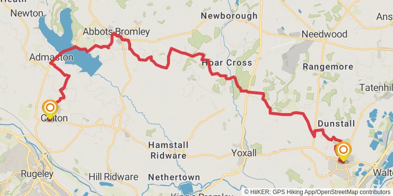
Distance: 25.9 km
Elevation gain: 310 m
Duration: 05:42:11
stage 11
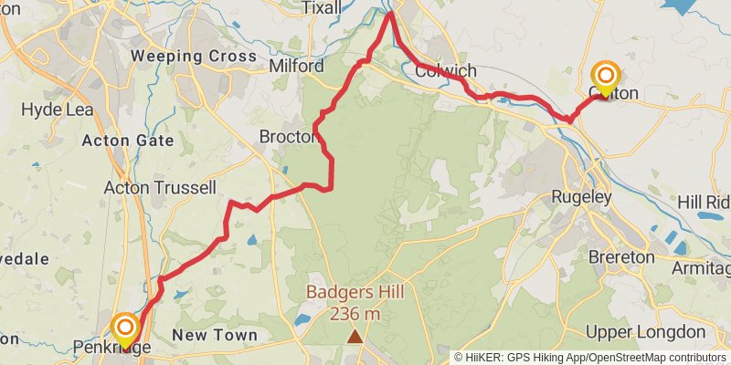
Starting at: Colton, Lichfield, Staffordshire, WS15 3LN
Distance: 20.8 km
Elevation gain: 234 m
Duration: 04:33:01
stage 12
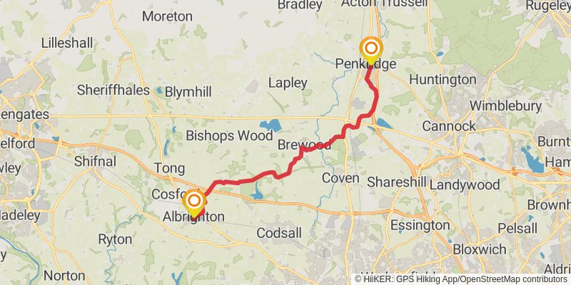
Starting at: South Staffordshire, Staffordshire, ST19 5BZ
Ending at: Albrighton, Shropshire, WV7 3QH
Distance: 20.5 km
Elevation gain: 155 m
Duration: 04:22:00
stage 13
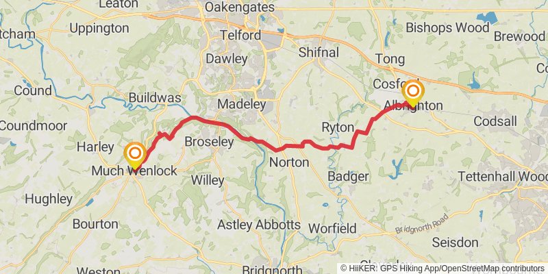
Starting at: Albrighton, Shropshire, WV7 3RF
Distance: 25.3 km
Elevation gain: 386 m
Duration: 05:41:48
stage 14
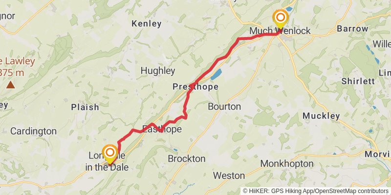
Starting at: Shropshire, TF13 6EL
Ending at: Rushbury, Shropshire, TF13 6DR
Distance: 12.7 km
Elevation gain: 288 m
Duration: 03:00:48
stage 15
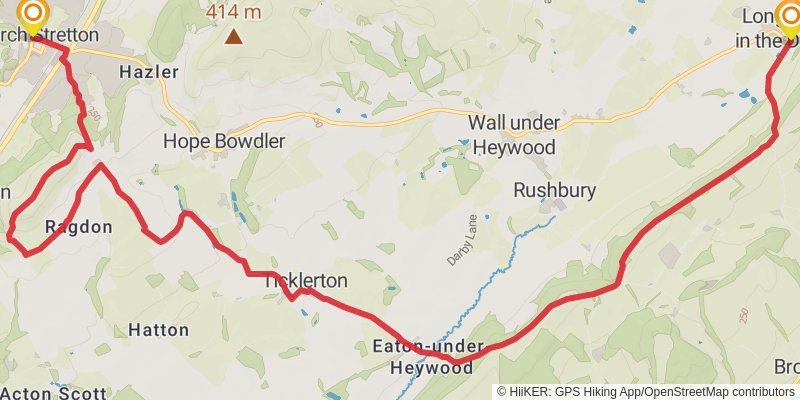
Starting at: Rushbury, Shropshire, TF13 6DS
Distance: 16.6 km
Elevation gain: 463 m
Duration: 04:05:45
stage 16
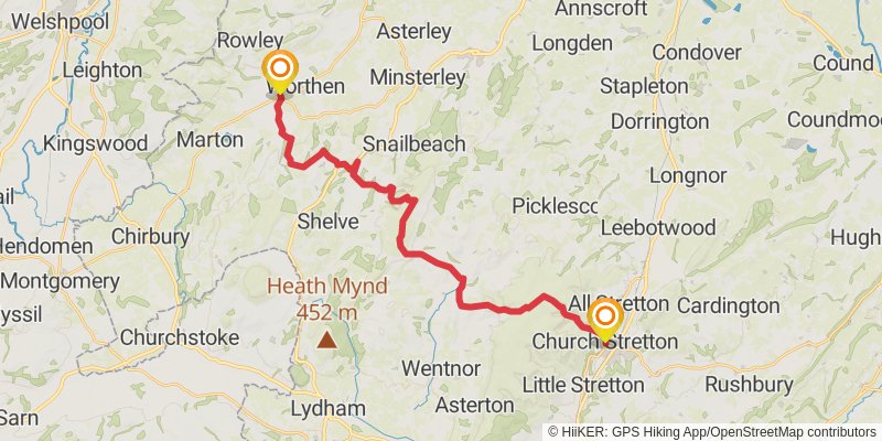
Starting at: Shropshire, SY6 6BS
Ending at: Brockton, Shropshire, SY5 9HU
Distance: 25.6 km
Elevation gain: 812 m
Duration: 06:28:02
stage 17
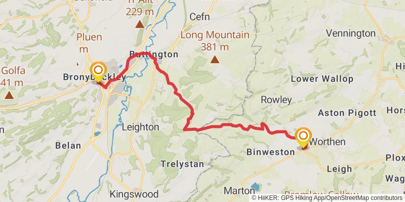
stage 18
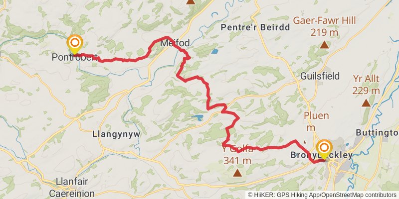
Starting at: Powys, SY21 7JP
Ending at: Pontrobert, Powys, SY22 6JS
Distance: 20.1 km
Elevation gain: 597 m
Duration: 05:01:20
stage 19
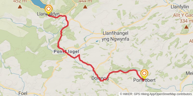
Starting at: Pontrobert, Powys, SY22 6JS
Ending at: Llanwddyn, Powys, SY10 0NA
Distance: 17.4 km
Elevation gain: 518 m
Duration: 04:20:18
stage 20
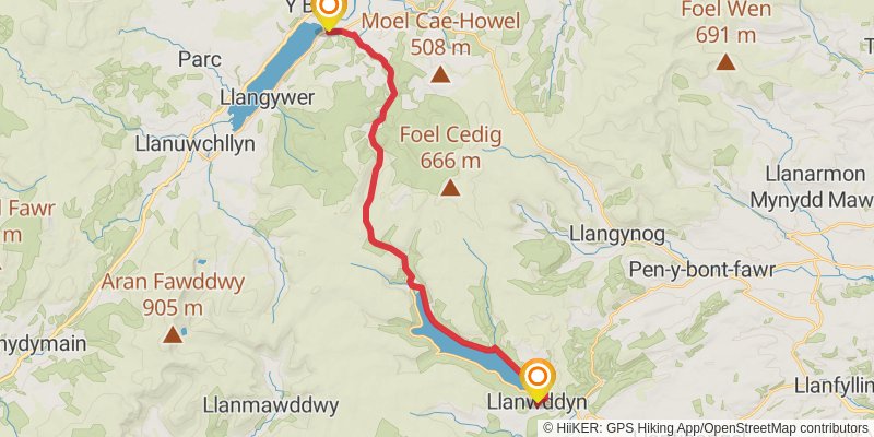
Starting at: Llanwddyn, Powys, SY10 0NA
Ending at: Pen y Bont, Llangywer, Gwynedd, LL23 7BS
Distance: 22.9 km
Elevation gain: 531 m
Duration: 05:28:10
stage 21
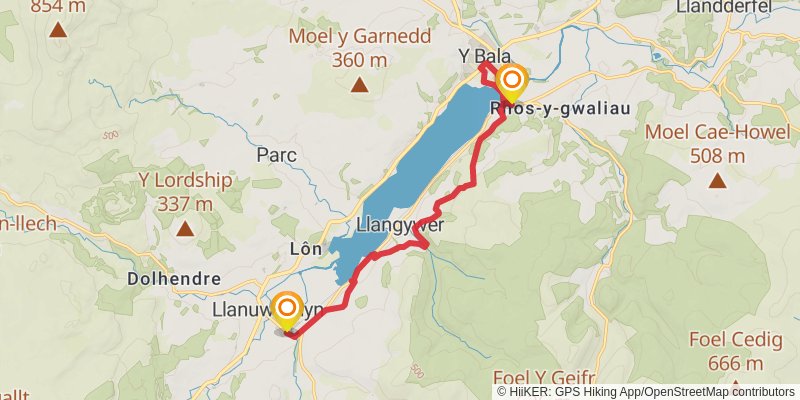
Starting at: Llangywer, Gwynedd, LL23 7BS
Ending at: Llanuwchllyn, Gwynedd, LL23 7TP
Distance: 11.8 km
Elevation gain: 405 m
Duration: 03:02:40
stage 22
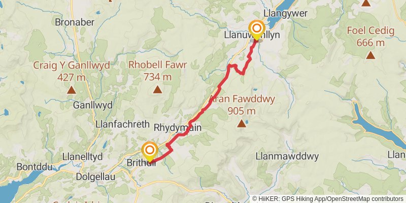
Starting at: Llanuwchllyn, Gwynedd, LL23 7TP
Ending at: Brithdir, Gwynedd, LL40 2SB
Distance: 19.4 km
Elevation gain: 562 m
Duration: 04:48:55
stage 23

Starting at: Brithdir, Gwynedd, LL40 2SB
Ending at: Bath House, Barmouth, Gwynedd, LL42 1HB
Distance: 21.3 km
Elevation gain: 286 m
Duration: 04:44:41