The best hikes in Cumberland
England · 463 HiiKER Hikes
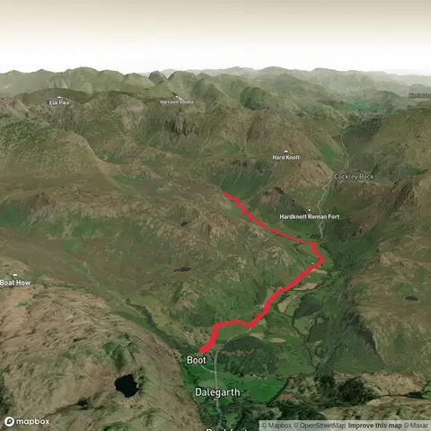
View Hikes on map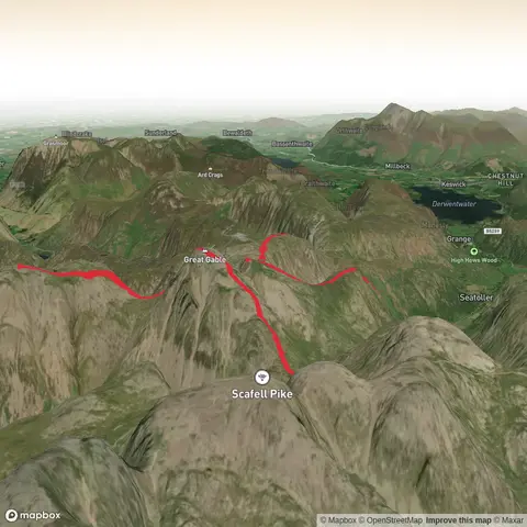
What to expect
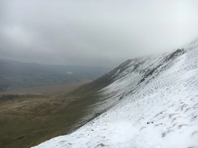
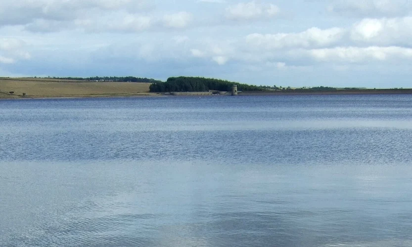
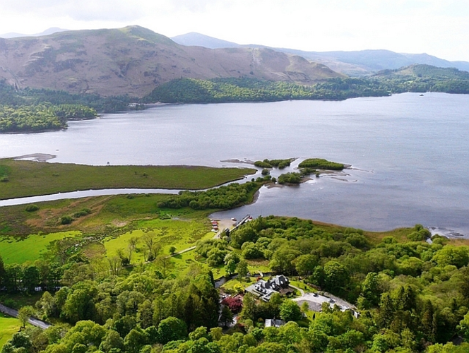
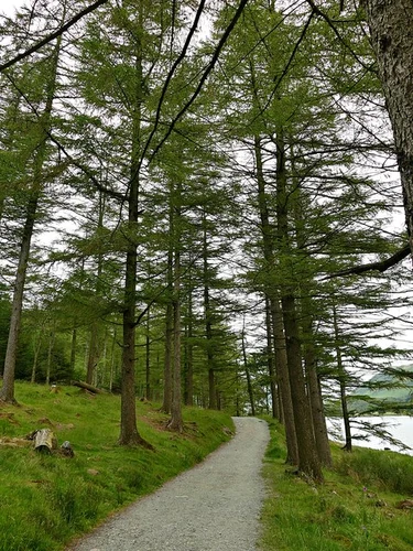
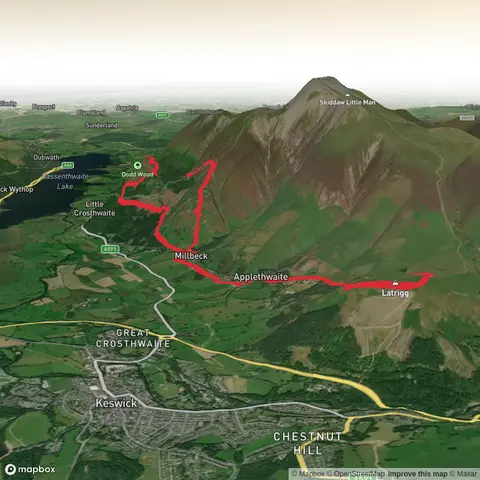
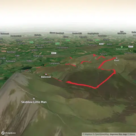
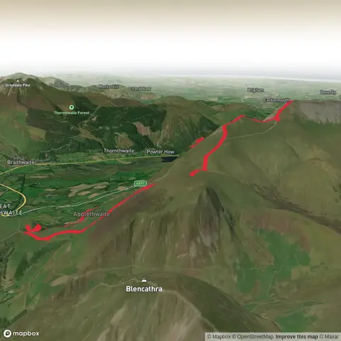
Check out some of the best hiking, walking and backpacking routes in Cumberland, England. The Cumberland Way is the most popular trail. The trails have 1282 user reviews with great photos and information. There are trails of various difficulty levels including easy, medium, difficult, and extra difficult. The trail with the highest elevation climb is the Mickledore and Scafell Pike Loop and the trail with the least amount of climbing is the Grune Point and Mean High Water. The longest trail is the Hadrian’s Wall Path (West to East) 10-Day Moderate Tour (Hillwalk Tours) at 158.2 km. For a shorter adventure you can try the Castlerigg Stone Circle Loop at 323 m. Get off line access to Shop, Restaurant, Water, and Peak locations and much more with a Hiiker subscription.

Be prepared for hiking in England with the HiiKER app