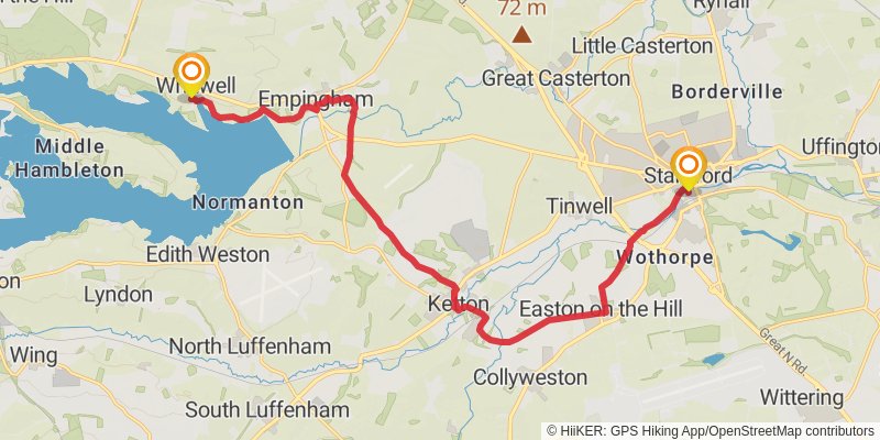
Middleton in Teesdale to Harwich Walk trail stages
stage 1
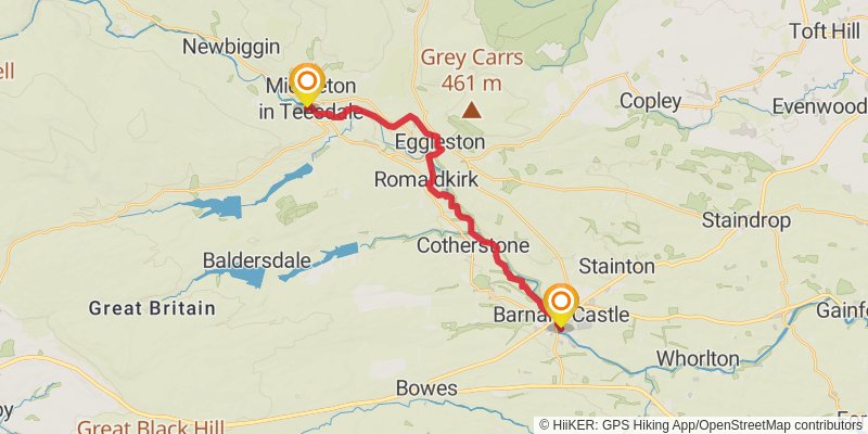
Starting at: Holwick, County Durham, DL12 0PG
Ending at: Barnard Castle, County Durham, DL12 8PY
Distance: 18.7 km
Elevation gain: 278 m
Duration: 04:12:28
stage 2
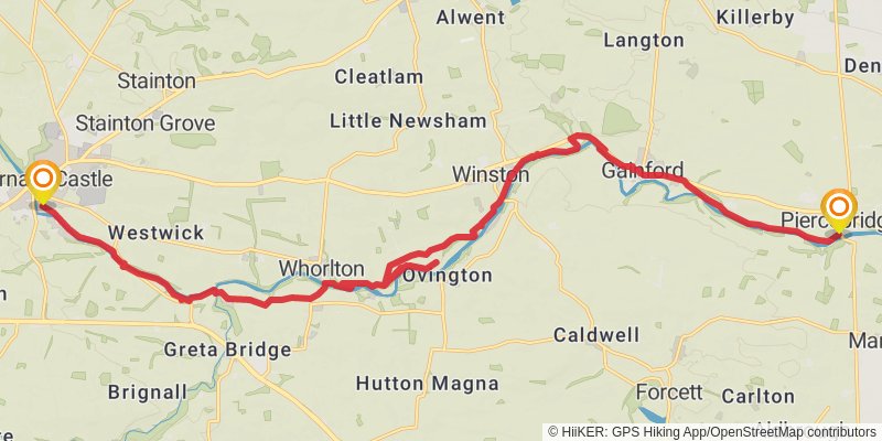
Starting at: County Durham, DL12 8PY
Ending at: Carlbury, Piercebridge, Darlington, DL2 3SF
Distance: 23.2 km
Elevation gain: 226 m
Duration: 05:01:29
stage 3

Starting at: Piercebridge, Darlington, DL2 3SQ
Ending at: Hurworth-on-Tees, Darlington, DL2 2AW
Distance: 18.3 km
Elevation gain: 114 m
Duration: 03:50:26
stage 4
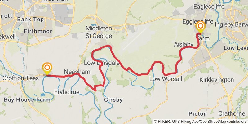
Starting at: Hurworth-on-Tees, Darlington, DL2 2AF
Distance: 21.3 km
Elevation gain: 184 m
Duration: 04:34:03
stage 5
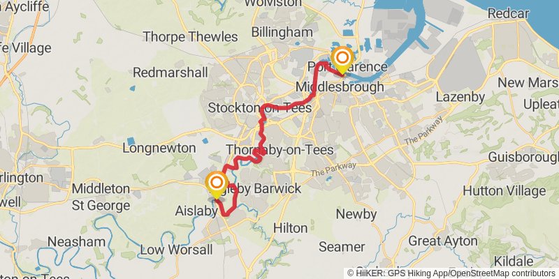
Starting at: Egglescliffe, Stockton-on-Tees, TS16 0JF
Ending at: Middlesbrough, Middlesbrough, TS2 1LX
Distance: 21.6 km
Elevation gain: 154 m
Duration: 04:34:16
stage 6
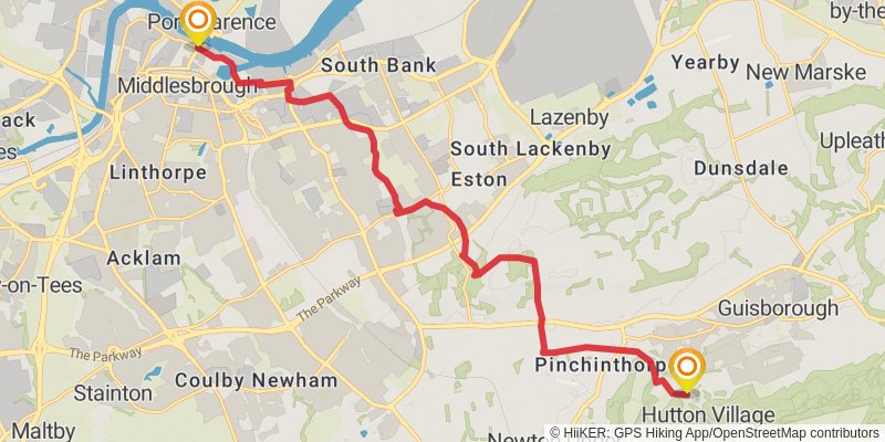
Starting at: Middlesbrough, TS2 1PL
Ending at: Guisborough, Redcar and Cleveland, TS14 8JE
Distance: 16.1 km
Elevation gain: 291 m
Duration: 03:42:04
stage 7

Starting at: Hutton Village, Redcar and Cleveland, TS14 8JE
Ending at: Loftus, Redcar and Cleveland, TS13 4BL
Distance: 22.2 km
Elevation gain: 701 m
Duration: 05:36:53
stage 8
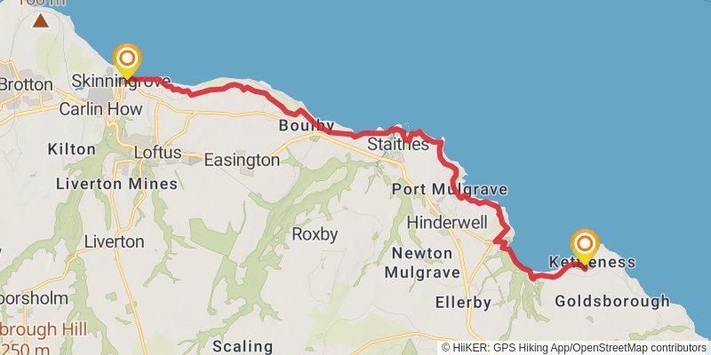
Starting at: Skinningrove, Redcar and Cleveland, TS13 4BL
Ending at: Kettleness, Lythe, North Yorkshire, YO21 3RY
Distance: 16.6 km
Elevation gain: 686 m
Duration: 04:27:53
stage 9
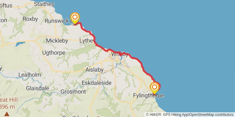
Starting at: Lythe, North Yorkshire, YO21 3RY
Ending at: Robin Hood's Bay, North Yorkshire, YO22 4RL
Distance: 21.8 km
Elevation gain: 833 m
Duration: 05:44:38
stage 10

Starting at: Robin Hood's Bay, North Yorkshire, YO22 4RS
Ending at: Cloughton, North Yorkshire, YO13 0AT
Distance: 14.8 km
Elevation gain: 628 m
Duration: 04:00:45
stage 11
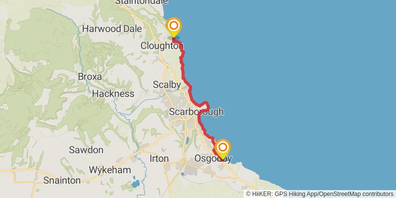
Starting at: Cloughton, North Yorkshire, YO13 0AT
Ending at: Osgodby, North Yorkshire, YO11 3NP
Distance: 16.2 km
Elevation gain: 485 m
Duration: 04:03:20
stage 12
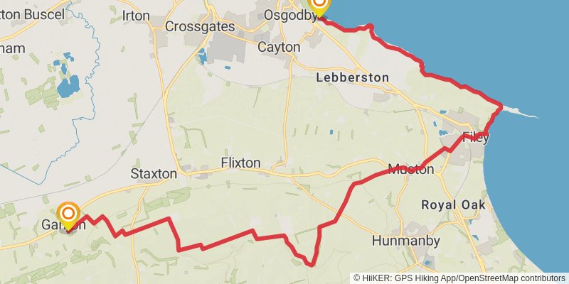
Starting at: Osgodby, North Yorkshire, YO11 3NP
Ending at: Ganton, North Yorkshire, YO12 4NS
Distance: 26.7 km
Elevation gain: 639 m
Duration: 06:24:43
stage 13
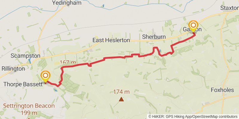
Starting at: Ganton, Ryedale, North Yorkshire, YO12 4NS
Ending at: Wintringham, North Yorkshire, YO17 8HY
Distance: 16.3 km
Elevation gain: 311 m
Duration: 03:46:29
stage 14

Starting at: Wintringham, Ryedale, North Yorkshire, YO17 8HY
Ending at: Thixendale, North Yorkshire, YO17 9TG
Distance: 18.6 km
Elevation gain: 457 m
Duration: 04:28:32
stage 15
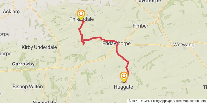
Starting at: Thixendale, Ryedale, North Yorkshire, YO17 9TG
Ending at: Huggate, East Riding of Yorkshire, YO42 1YF
Distance: 10.5 km
Elevation gain: 255 m
Duration: 02:31:00
stage 16
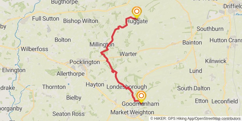
Starting at: Huggate, East Riding of Yorkshire, YO42 1YF
Distance: 21.7 km
Elevation gain: 435 m
Duration: 05:03:17
stage 17
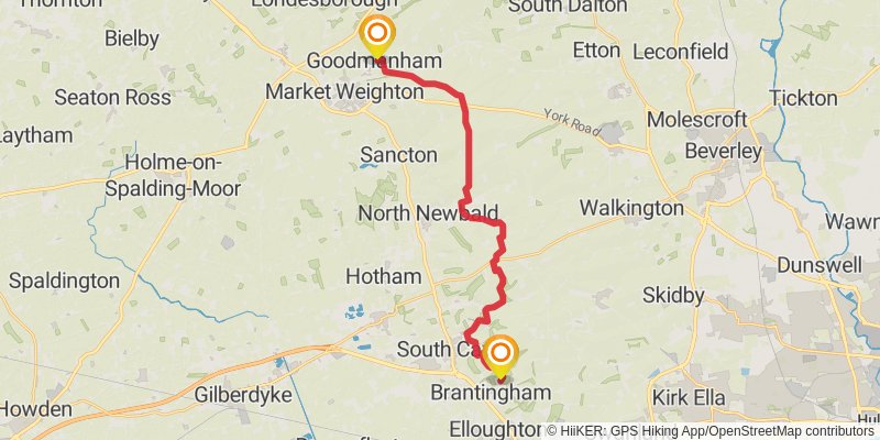
Starting at: Goodmanham, East Riding of Yorkshire, YO43 3JB
Distance: 20.6 km
Elevation gain: 439 m
Duration: 04:51:27
stage 18
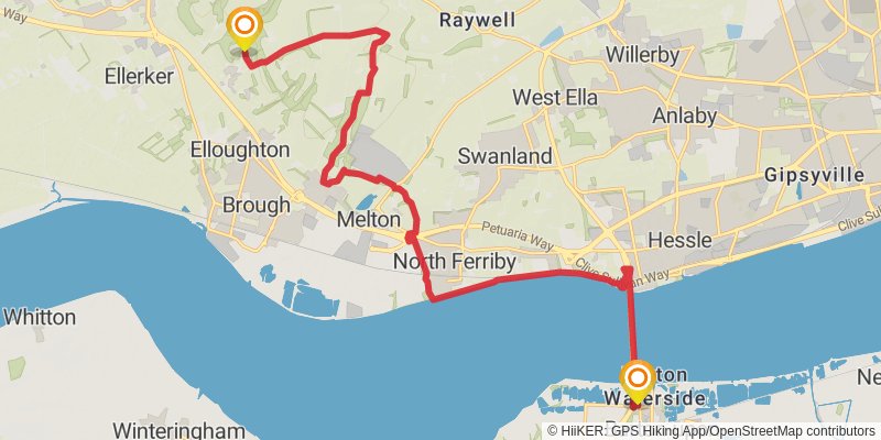
Starting at: Brantingham, East Riding of Yorkshire, HU15 1QG
Distance: 19.6 km
Elevation gain: 259 m
Duration: 04:21:00
stage 19
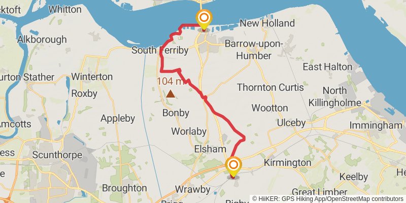
Starting at: North Lincolnshire, DN18 5RU
Distance: 23.4 km
Elevation gain: 215 m
Duration: 05:02:35
stage 20
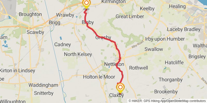
Starting at: Barnetby le Wold, North Lincolnshire, DN38 6HU
Ending at: West Lindsey, Lincolnshire, LN7 6ST
Distance: 21.0 km
Elevation gain: 338 m
Duration: 04:45:39
stage 21
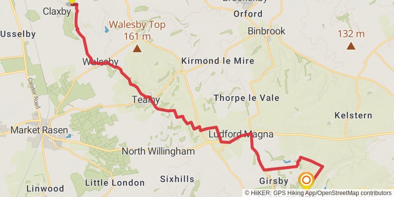
Ending at: East Lindsey, Lincolnshire, LN11 0RD
Distance: 19.7 km
Elevation gain: 296 m
Duration: 04:25:55
stage 22

Starting at: Burgh on Bain, East Lindsey, Lincolnshire, LN11 0RD
Ending at: East Lindsey, Lincolnshire, LN9 6JY
Distance: 19.1 km
Elevation gain: 218 m
Duration: 04:10:37
stage 23
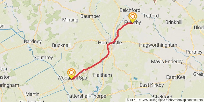
Starting at: Fulletby, East Lindsey, Lincolnshire, LN9 6JY
Distance: 17.8 km
Elevation gain: 72 m
Duration: 03:40:32
stage 24
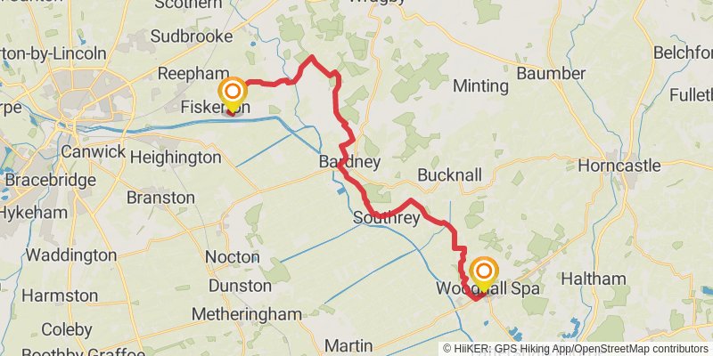
Starting at: Oaklands, East Lindsey, Lincolnshire, LN10 6RG
Distance: 27.6 km
Elevation gain: 160 m
Duration: 05:47:02
stage 25
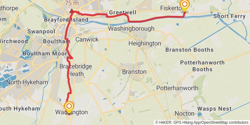
Starting at: Fiskerton, West Lindsey, Lincolnshire, LN3 4HT
Distance: 18.6 km
Elevation gain: 262 m
Duration: 04:09:10
stage 26
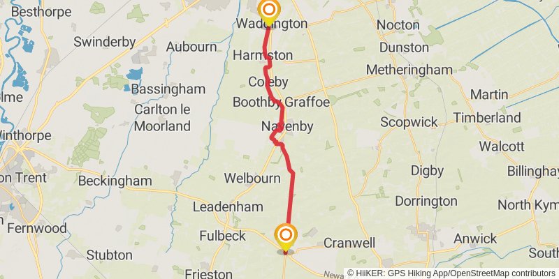
Starting at: Waddington, North Kesteven, Lincolnshire, LN5 9QF
Ending at: North Kesteven, Lincolnshire, NG34 8EY
Distance: 17.6 km
Elevation gain: 152 m
Duration: 03:46:15
stage 27
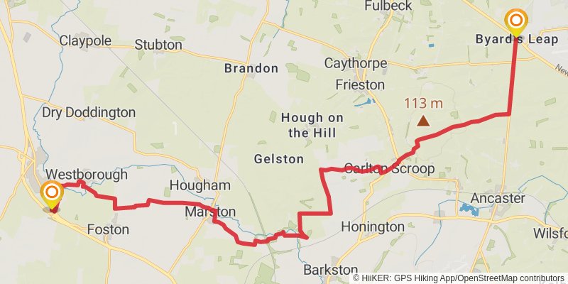
Starting at: South Kesteven, Lincolnshire, NG34 8EY
Ending at: South Kesteven, Lincolnshire, NG23 5ET
Distance: 24.2 km
Elevation gain: 172 m
Duration: 05:07:36
stage 28
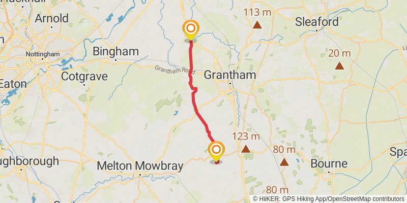
Distance: 25.5 km
Elevation gain: 293 m
Duration: 05:34:44
stage 29
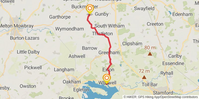
Starting at: Sewstern, Melton, Leicestershire, NG33 5RJ
Ending at: Whitwell, Rutland, LE15 8BJ
Distance: 17.2 km
Elevation gain: 105 m
Duration: 03:37:18
stage 30
