The best hikes in Ventura County
California · 359 HiiKER Hikes
View Hikes on map

What to expect
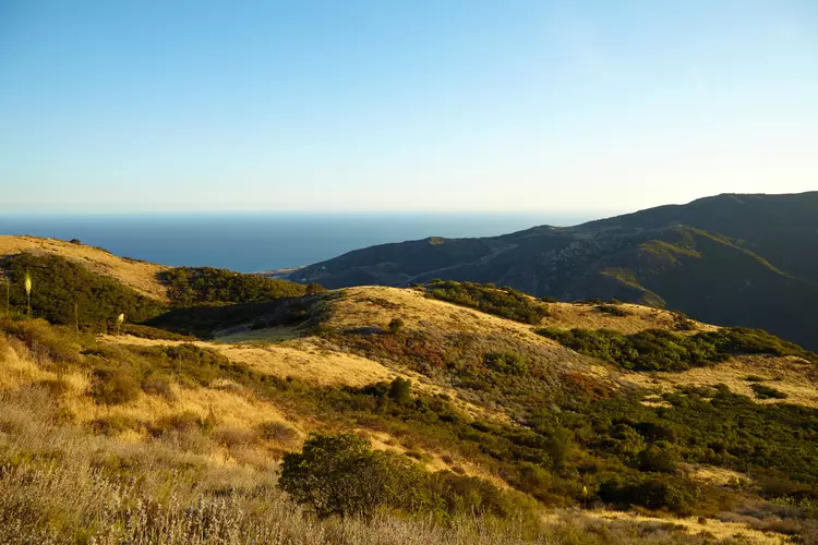
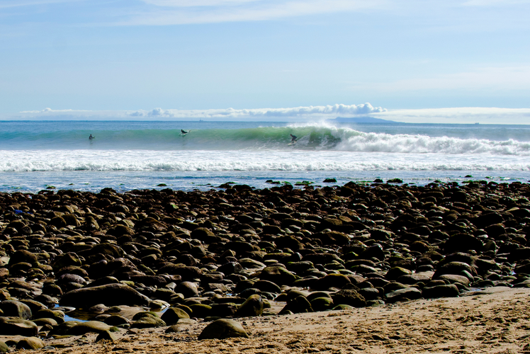
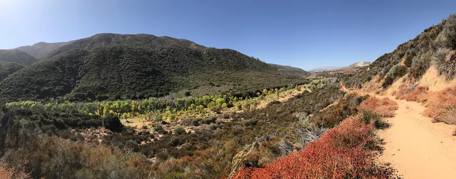
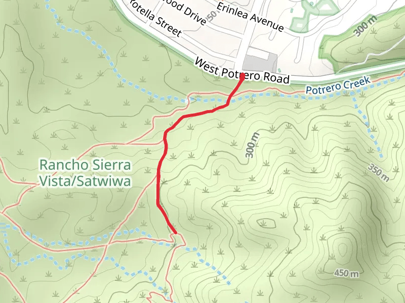
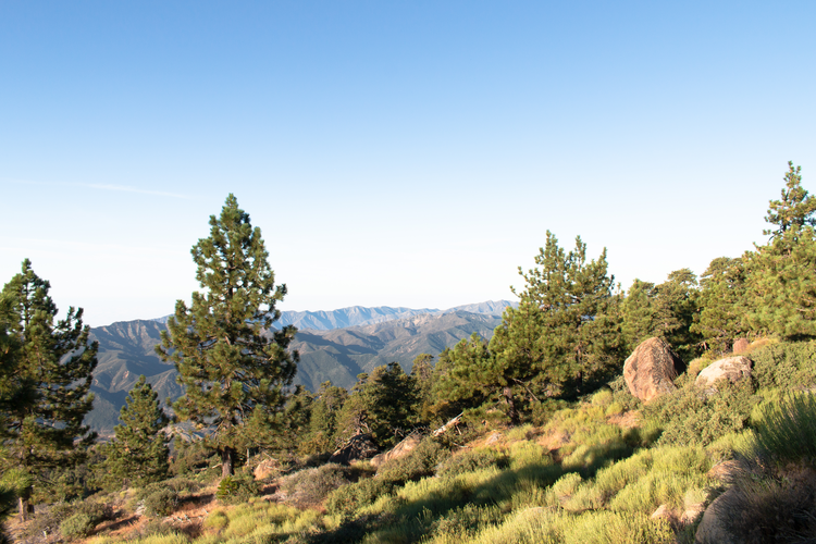
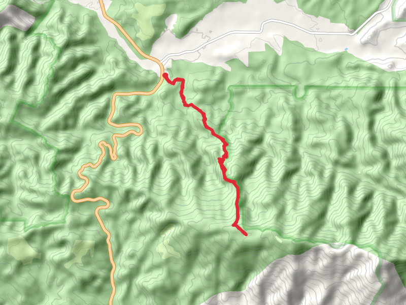
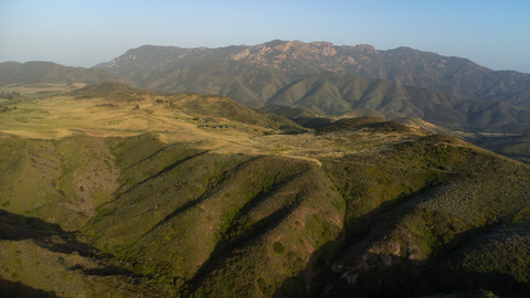
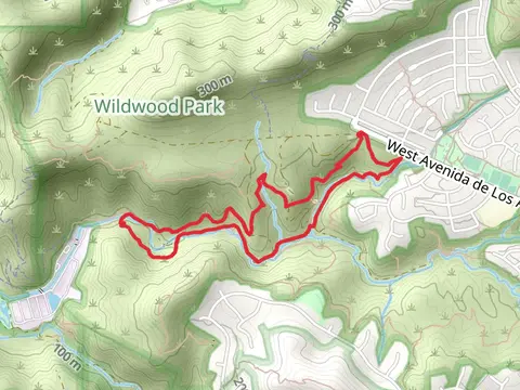
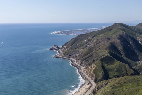
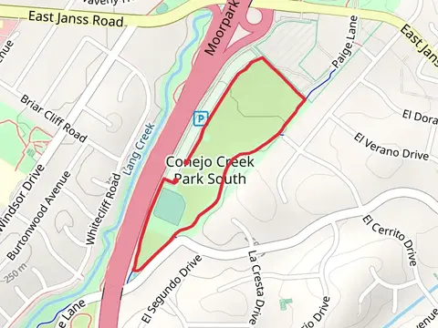
Check out some of the best hiking, walking and backpacking routes in Ventura County, California. The Backbone Trail is the most popular trail. The trails have 1087 user reviews with great photos and information. There are trails of various difficulty levels including easy, medium, difficult, and extra difficult. The trail with the highest elevation climb is the North Fork, Mount Pinos and McGill Trail and the trail with the least amount of climbing is the Rincon Beach. The longest trail is the Backbone Trail at 107.1 km. For a shorter adventure you can try the Lighthouse Trail at 657 m. Get off line access to Peak, Fastfood, Restaurant, and Shelter locations and much more with a Hiiker subscription.

Be prepared for hiking in California with the HiiKER app