The best hikes in Sierra County
California · 72 HiiKER Hikes
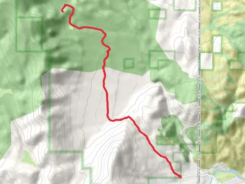
View Hikes on map

What to expect
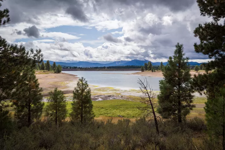
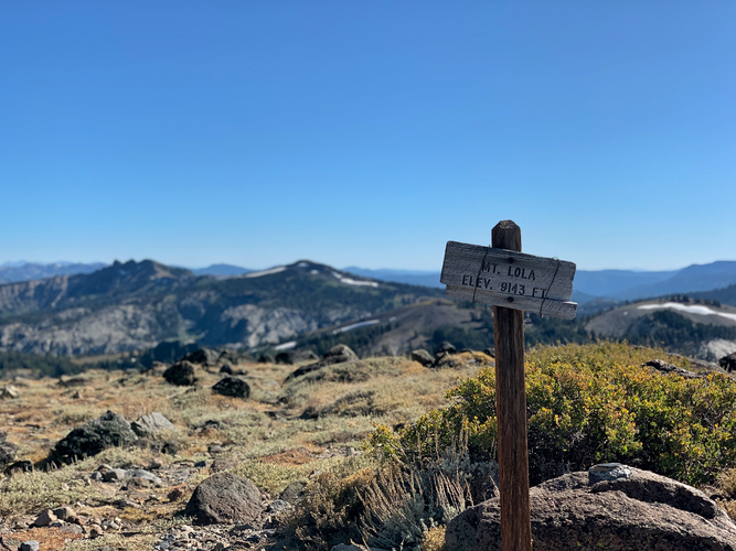
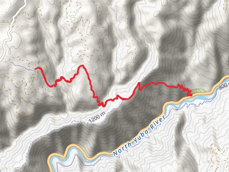
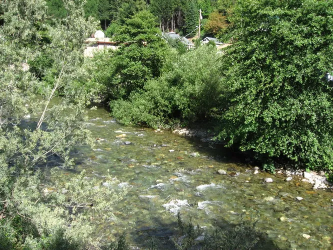
Check out some of the best hiking, walking and backpacking routes in Sierra County, California. The Cal - Ida Trail is the most popular trail. There are trails of various difficulty levels including medium, difficult, and extra difficult. The trail with the highest elevation climb is the Mount Lola via Cold Stream and the trail with the least amount of climbing is the Canyon Creek Trail. The longest trail is the Saddleback Mountain via Poker Flat Road and Saddleback Road at 29.9 km. For a shorter adventure you can try the Devils Post Pile Trail at 566 m. Get off line access to History, Campsite, Peak, and Water locations and much more with a Hiiker subscription.

Be prepared for hiking in California with the HiiKER app