The best hikes in Shasta County
California · 165 HiiKER Hikes
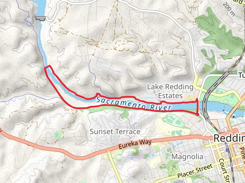
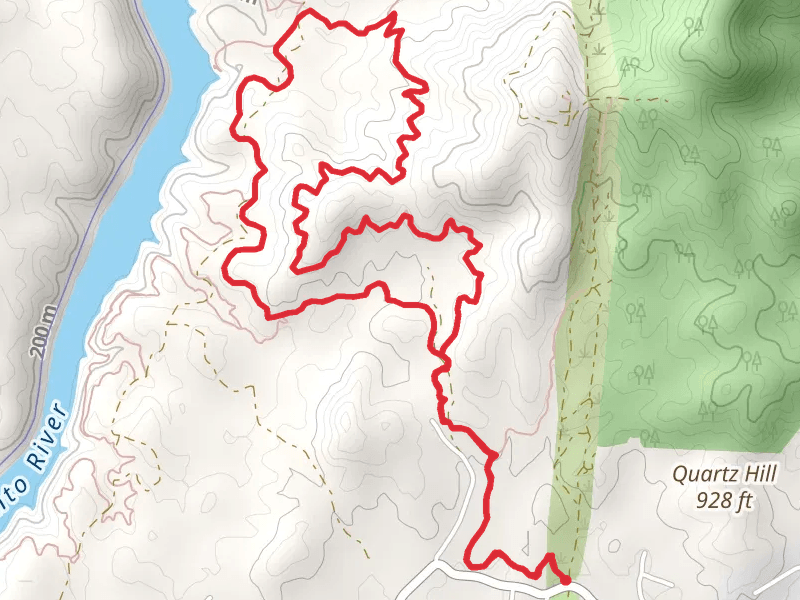
View Hikes on map
What to expect
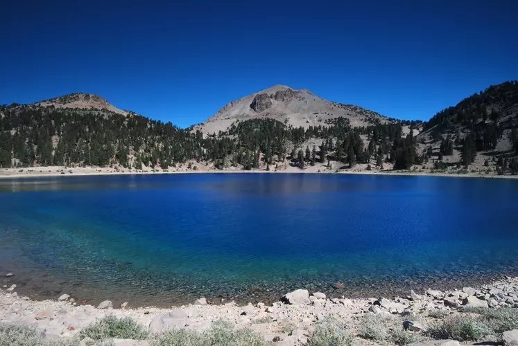
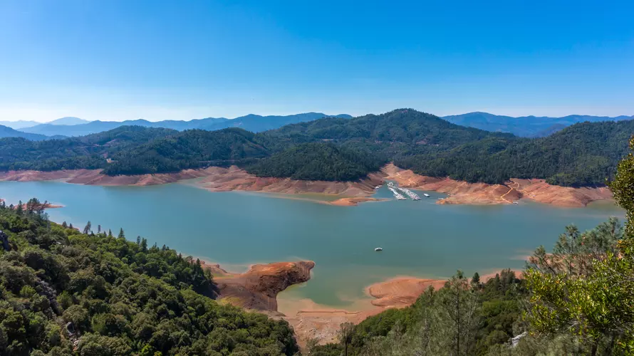
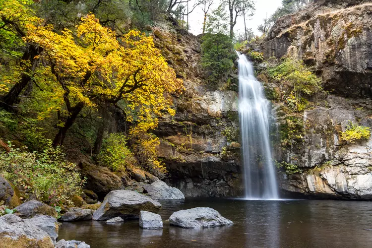
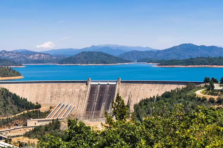
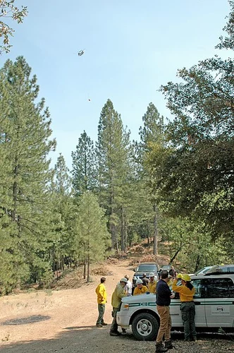
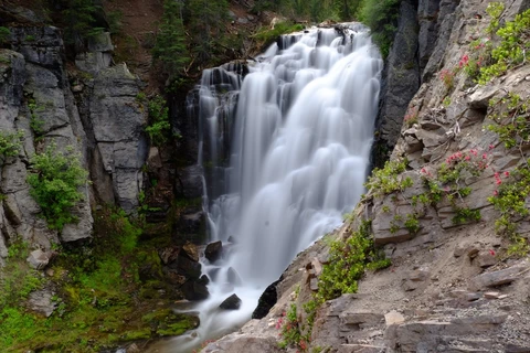
Check out some of the best hiking, walking and backpacking routes in Shasta County, California. The Lassen Volcanic National Park Lakes Loop is the most popular trail. The trails have 420 user reviews with great photos and information. There are trails of various difficulty levels including easy, medium, difficult, and extra difficult. The trail with the highest elevation climb is the Lassen Peak Trail and the trail with the least amount of climbing is the Anderson River Park Loop - West. The longest trail is the Summit Lake, Horseshoe Lake, Snag Lake and Cinder Cone Loop at 41.2 km. For a shorter adventure you can try the Devastated Area Interpretive Trail at 490 m. Get off line access to Restaurant, Water, Fastfood, and Peak locations and much more with a Hiiker subscription.

Be prepared for hiking in California with the HiiKER app