The best hikes in San Mateo County
California · 180 HiiKER Hikes
View Hikes on map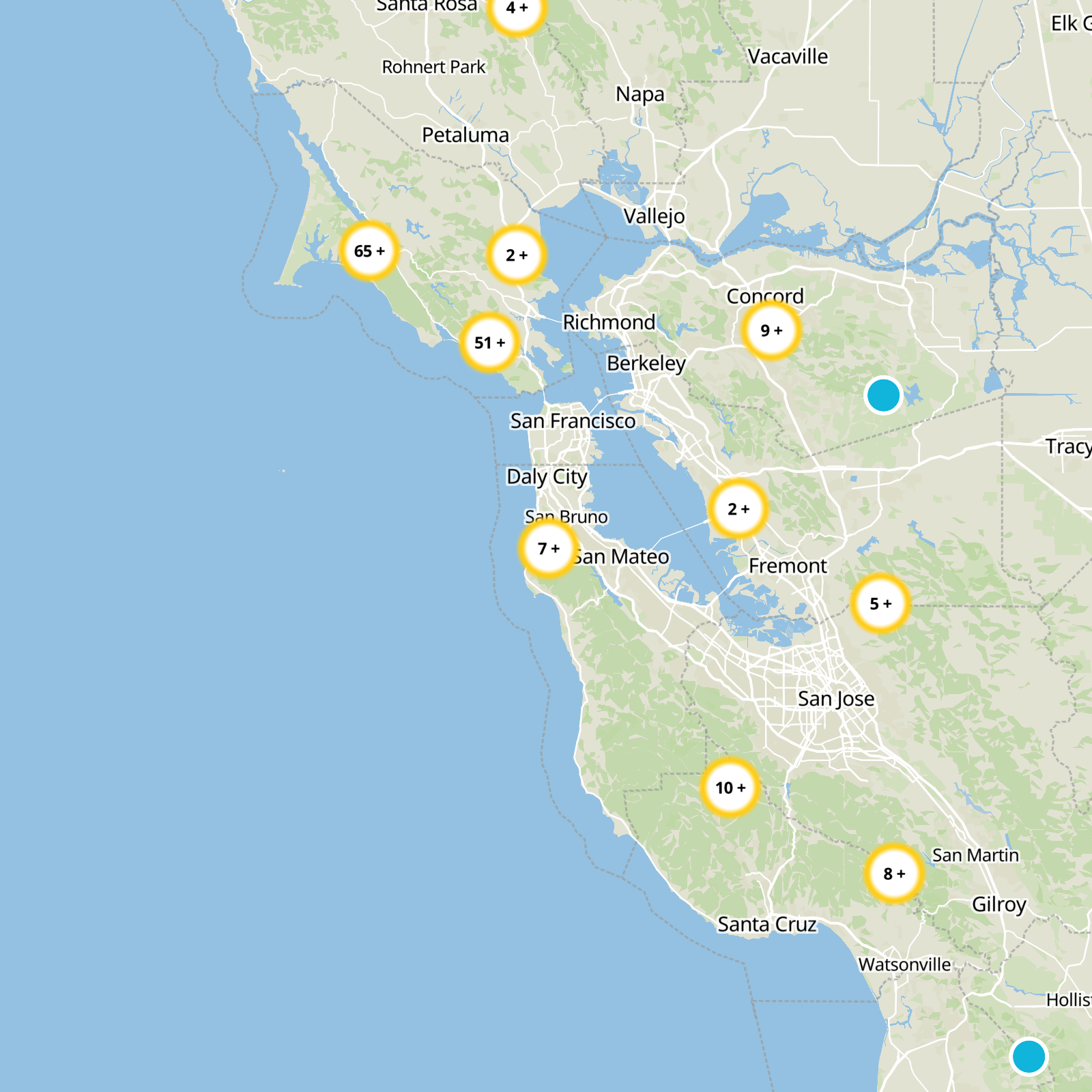
What to expect
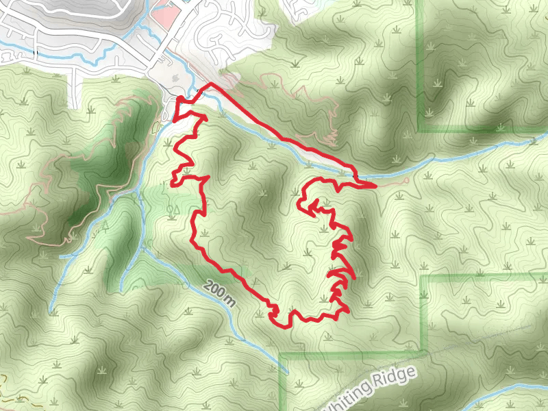
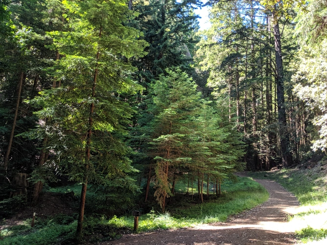
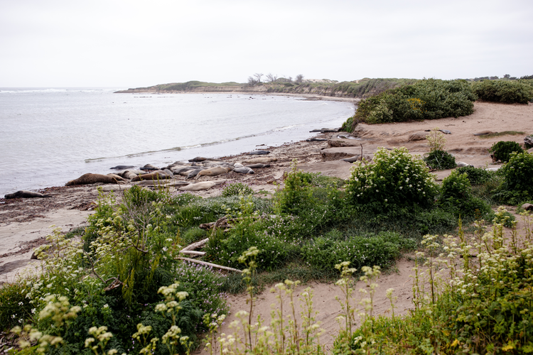
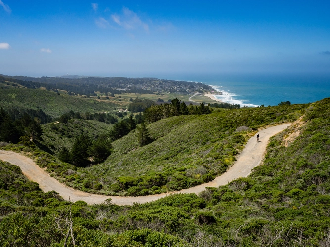
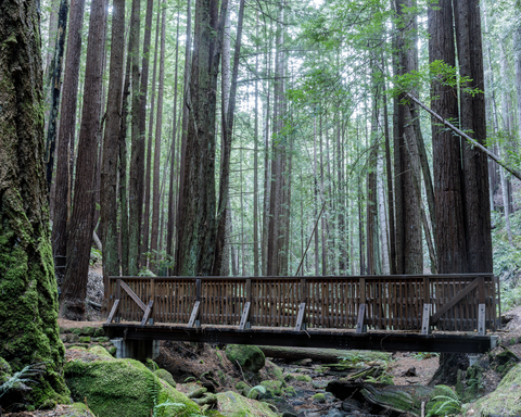
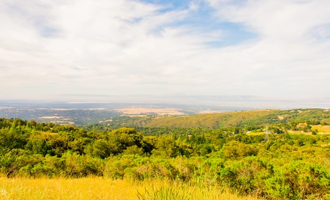
Check out some of the best hiking, walking and backpacking routes in San Mateo County, California. The Purisima Creek Trail is the most popular trail. The trails have 730 user reviews with great photos and information. There are trails of various difficulty levels including easy, medium, and difficult. The trail with the highest elevation climb is the Borel Hill Loop and the trail with the least amount of climbing is the San Francisco Bay Trail - Sea Anchor Drive. The longest trail is the Meadow Trail and Alambique Trail Loop at 37.7 km. For a shorter adventure you can try the Stulsaft Park Loop at 1.5 km. Get off line access to History, Fastfood, Peak, and Restaurant locations and much more with a Hiiker subscription.

Be prepared for hiking in California with the HiiKER app