The best hikes in Madera County
California · 171 HiiKER Hikes
View Hikes on map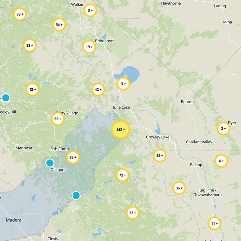
What to expect
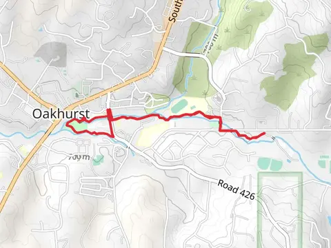
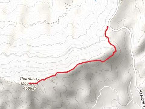
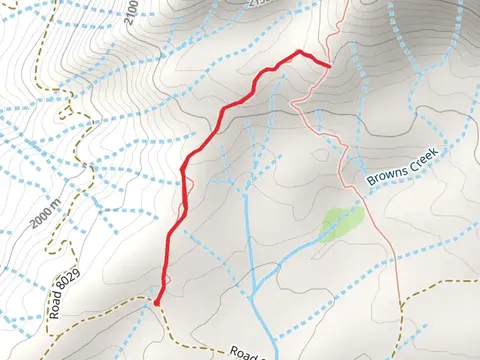
Check out some of the best hiking, walking and backpacking routes in Madera County, California. The Shuteye Peak and Lookout Trail is the most popular trail. The trails have 309 user reviews with great photos and information. There are trails of various difficulty levels including easy, medium, difficult, and extra difficult. The trail with the highest elevation climb is the Shadow Lake, Ediza Lake and Mount Ritter via Shadow Creek Trail and the trail with the least amount of climbing is the San Joaquin River Trail. The longest trail is the Pin Cushion via Millers Crossing and Theodore Solomons Trail at 53.4 km. For a shorter adventure you can try the Willow Cove Trail from Malum Ridge Road at 868 m. Get off line access to Bus Stop, Campsite, Water, and Peak locations and much more with a Hiiker subscription.

Be prepared for hiking in California with the HiiKER app