Download
Preview
Add to list
More
6.3 km
~1 hrs 18 min
23 m
Loop
“The San Joaquin River Trail is a picturesque, accessible hike featuring stunning views, wildlife, and historical significance.”
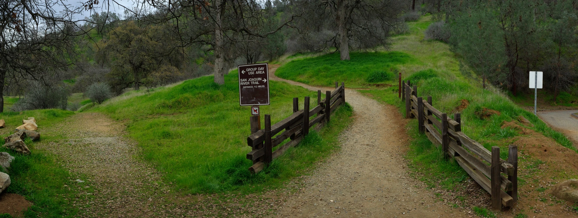
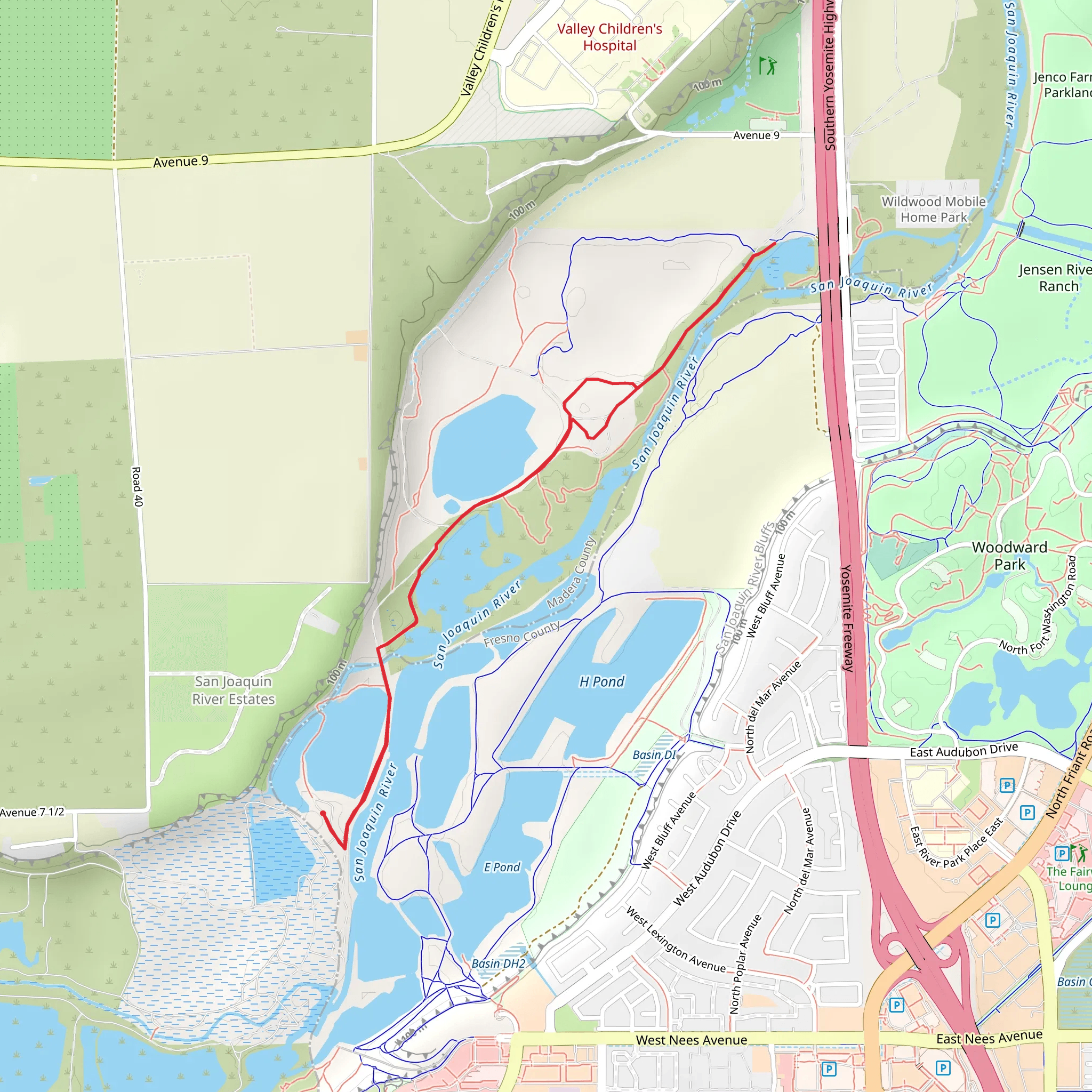
Starting near Madera County, California, the San Joaquin River Trail is a scenic loop trail that spans approximately 6 kilometers (around 3.7 miles) with virtually no elevation gain, making it accessible for hikers of varying skill levels. This trail offers a delightful mix of natural beauty, historical significance, and opportunities for wildlife observation.
Getting There To reach the trailhead, you can drive or use public transportation. If driving, head towards the vicinity of Millerton Lake State Recreation Area. The nearest significant landmark is the Millerton Lake Visitor Center, located at 5290 Millerton Rd, Friant, CA 93626. From there, follow the signs to the trailhead parking area. For those using public transport, the closest major city is Fresno, from where you can take a bus or taxi to Millerton Lake.
Trail Highlights #### Natural Beauty The San Joaquin River Trail meanders along the banks of the San Joaquin River, offering stunning views of the water and surrounding landscapes. The trail is lined with a variety of native plants, including oak trees, wildflowers, and shrubs, which provide a vibrant display of colors, especially in the spring and early summer.
#### Wildlife Keep an eye out for local wildlife, such as deer, rabbits, and a variety of bird species. The river itself is home to fish like bass and trout, and you might even spot a river otter if you're lucky. Birdwatchers will appreciate the presence of hawks, eagles, and various waterfowl.
Historical Significance The San Joaquin River has been a vital water source for the region for centuries. Historically, it was an essential resource for Native American tribes, including the Yokuts and Miwok, who lived along its banks. The river also played a significant role during the California Gold Rush, serving as a transportation route for miners and supplies.
Trail Navigation The trail is well-marked, but it's always a good idea to have a reliable navigation tool. HiiKER is an excellent app for this purpose, providing detailed maps and real-time tracking to ensure you stay on course.
Points of Interest #### Millerton Lake Approximately 1.5 kilometers (0.9 miles) into the hike, you'll come across a viewpoint overlooking Millerton Lake. This man-made reservoir was created by the construction of the Friant Dam in the 1940s and is now a popular spot for boating, fishing, and picnicking.
#### River Overlook At around the 3-kilometer (1.8-mile) mark, there's a scenic overlook where you can take a break and enjoy panoramic views of the San Joaquin River. This is an excellent spot for photography, so don't forget your camera.
Trail Conditions The trail is mostly flat and well-maintained, making it suitable for families and casual hikers. However, be prepared for some uneven terrain and occasional muddy patches, especially after rain. Good hiking shoes are recommended.
Safety Tips - Carry plenty of water, especially during the hotter months, as the trail offers limited shade. - Be aware of your surroundings and watch for wildlife. - Use sunscreen and wear a hat to protect yourself from the sun. - Always let someone know your hiking plans and estimated return time.
The San Joaquin River Trail offers a perfect blend of natural beauty, historical context, and wildlife, making it a rewarding experience for anyone looking to explore the great outdoors in Madera County.
What to expect?
Activity types
Comments and Reviews
User comments, reviews and discussions about the San Joaquin River Trail, California.
5.0
average rating out of 5
4 rating(s)

