The best hikes in Azusa
California · 7 HiiKER Hikes
View Hikes on map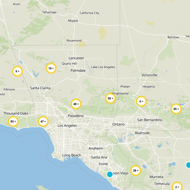
What to expect
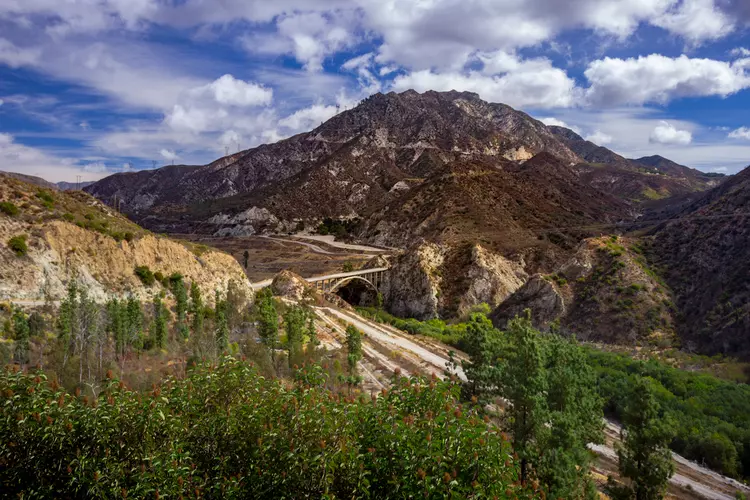
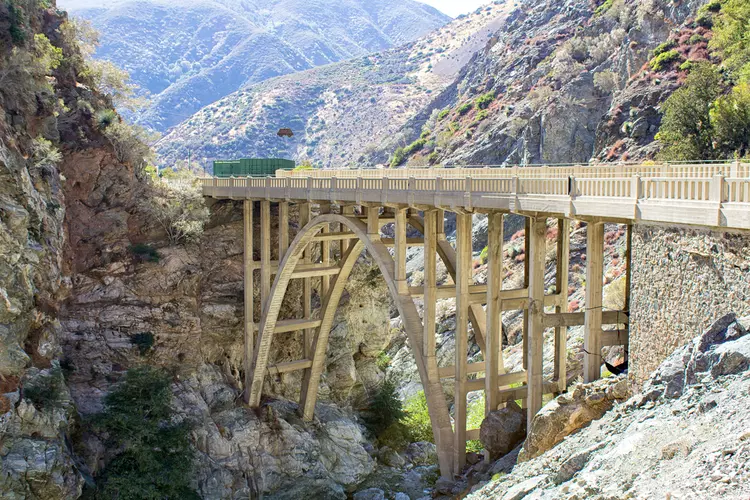
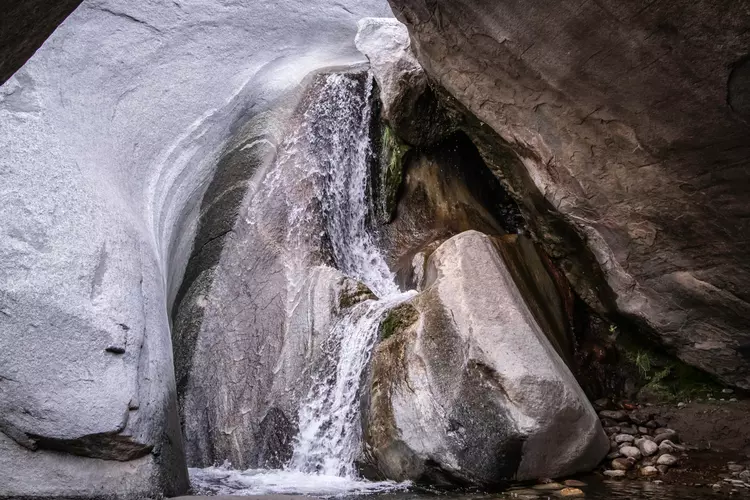
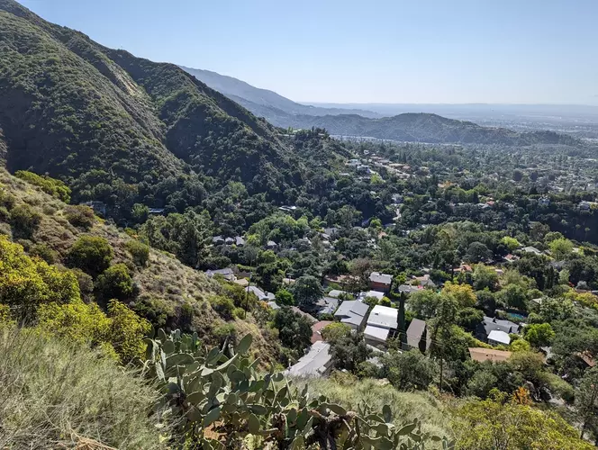
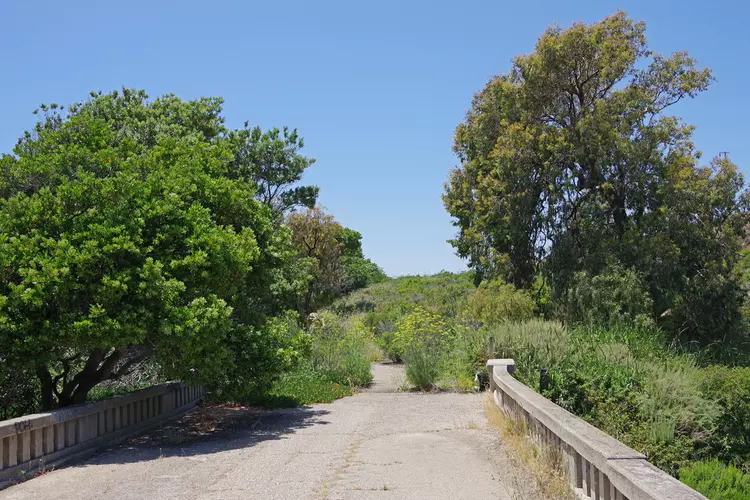
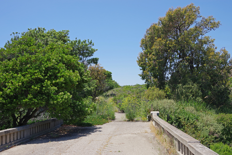
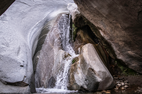
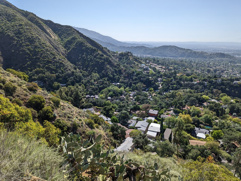
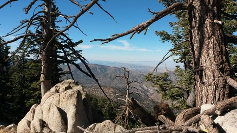
Check out some of the best hiking, walking and backpacking routes in Azusa, California. The Bichota Canyon Trail is the most popular trail. There are trails of various difficulty levels including medium, difficult, and extra difficult. The trail with the highest elevation climb is the Twin Peaks Trail and the trail with the least amount of climbing is the West Fork National Recreation Trail. The longest trail is the West Fork National Recreation Trail at 23 km. For a shorter adventure you can try the Twin Peaks Trail at 15 km. Get off line access to Bus Stop, Campsite, Water, and Peak locations and much more with a Hiiker subscription.

Be prepared for hiking in California with the HiiKER app