Ozark Highlands Trail trail stages
stage 1
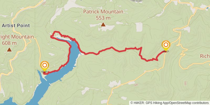
Ending at: Mountainburg, Crawford County, 72946
Distance: 14.3 km
Elevation gain: 589 m
Duration: 03:50:29
stage 2
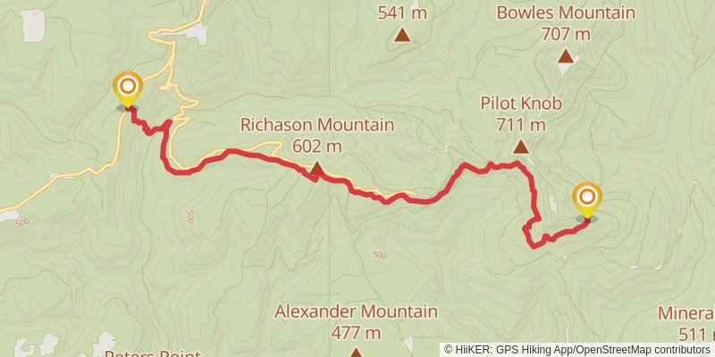
Starting at: Crawford County, 72946
Ending at: Winslow, Franklin County, 72959
Distance: 12.6 km
Elevation gain: 682 m
Duration: 03:39:20
stage 3
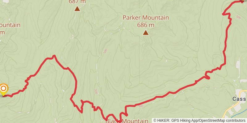
Starting at: Winslow, Franklin County, 72959
Ending at: Ozark, Franklin County, 72949
Distance: 24.0 km
Elevation gain: 1206 m
Duration: 06:48:56
stage 4
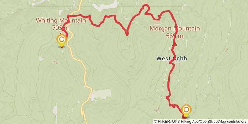
Starting at: Cass, Ozark, Franklin County, 72949
Ending at: Ozark, Franklin County, 72949
Distance: 17.5 km
Elevation gain: 580 m
Duration: 04:28:21
stage 5
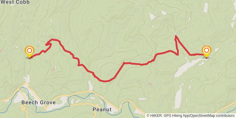
Starting at: Ozark, Franklin County, 72949
Ending at: Pettigrew, Johnson County, 72752
Distance: 14.4 km
Elevation gain: 555 m
Duration: 03:48:23
stage 6
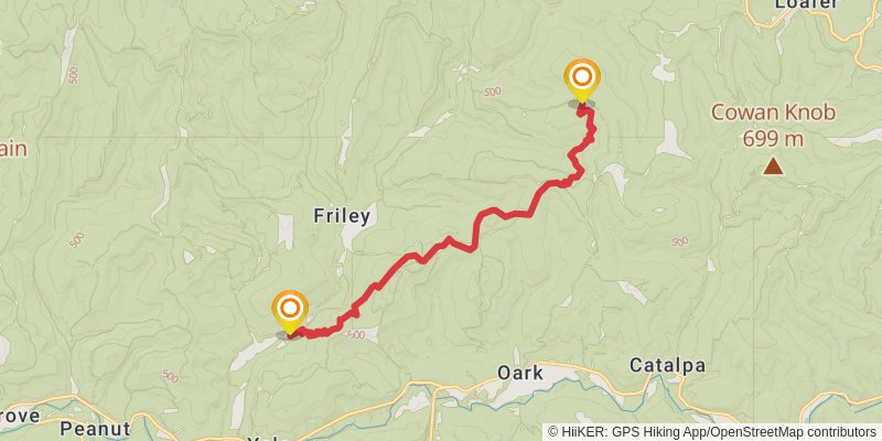
Starting at: Crawford County, 72752
Ending at: Pettigrew, Johnson County, 72752
Distance: 16.2 km
Elevation gain: 733 m
Duration: 04:28:07
stage 7
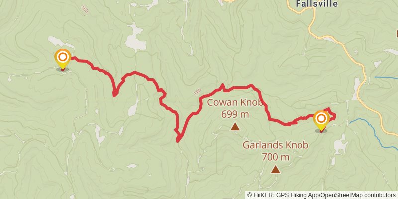
Starting at: Pettigrew, Johnson County, 72752
Ending at: Oark, Newton County, 72852
Distance: 15.4 km
Elevation gain: 711 m
Duration: 04:16:28
stage 8
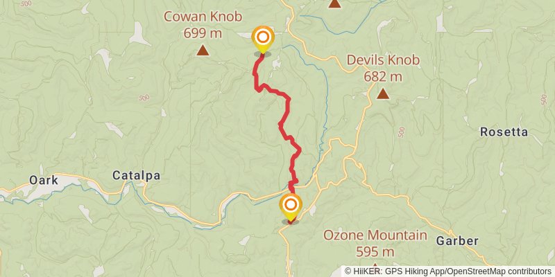
Starting at: Fallsville, Oark, Newton County, 72852
Ending at: Ozone, Johnson County, 72854
Distance: 11.3 km
Elevation gain: 506 m
Duration: 03:06:18
stage 9
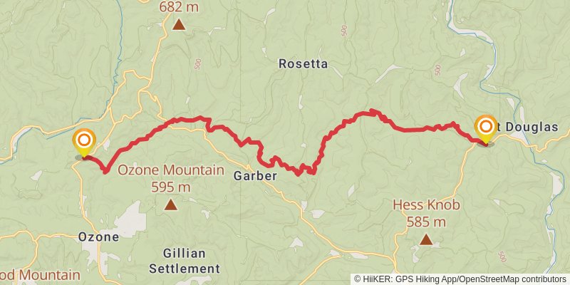
Starting at: Ozone, Johnson County, 72854
Ending at: Hagarville, Johnson County, 72839
Distance: 27.3 km
Elevation gain: 1039 m
Duration: 07:11:56
stage 10
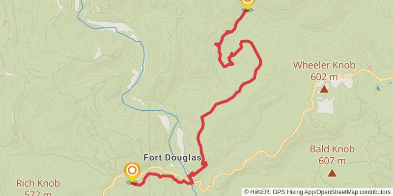
Ending at: Hagarville, Johnson County, 72839
Distance: 13.0 km
Elevation gain: 516 m
Duration: 03:27:35
stage 11
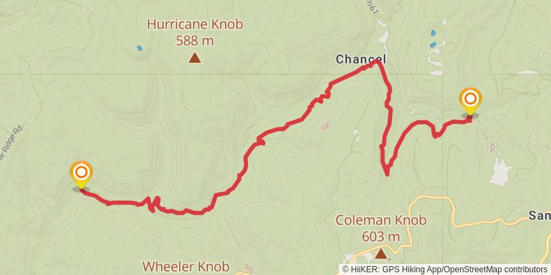
Starting at: Johnson County, 72839
Ending at: Pelsor, Newton County, 72856
Distance: 16.0 km
Elevation gain: 780 m
Duration: 04:30:29
stage 12
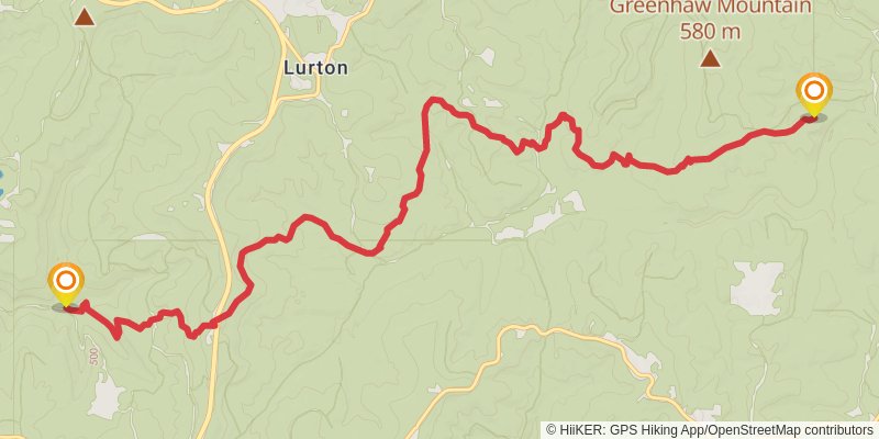
Starting at: Chancel, Pelsor, Newton County, 72856
Ending at: Pelsor, Newton County, 72856
Distance: 16.8 km
Elevation gain: 679 m
Duration: 04:29:57
stage 13
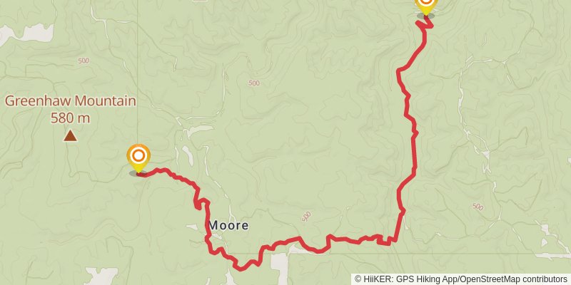
Starting at: Newton County, 72856
Ending at: Marshall, Searcy County, 72650
Distance: 15.3 km
Elevation gain: 424 m
Duration: 03:45:57
stage 14
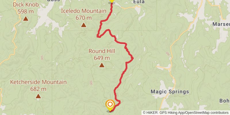
Starting at: Marshall, Searcy County, 72650
Ending at: Searcy County, 72675
Distance: 19.3 km
Elevation gain: 715 m
Duration: 05:02:39
stage 15
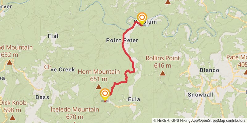
Starting at: Eula, Searcy County, 72675
Ending at: Saint Joe, Searcy County, 72675
Distance: 12.9 km
Elevation gain: 175 m
Duration: 02:52:11