The best hikes in Mohave County
Arizona · 53 HiiKER Hikes
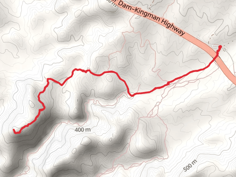
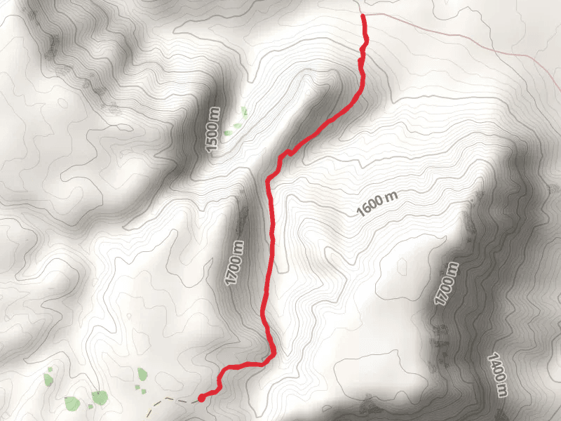
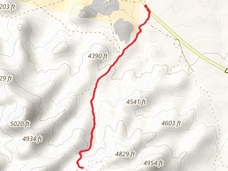
View Hikes on map
What to expect
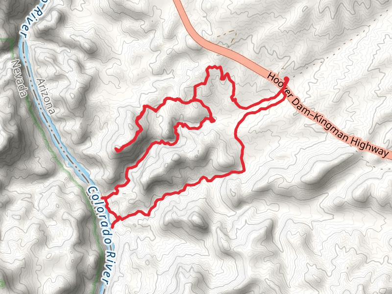
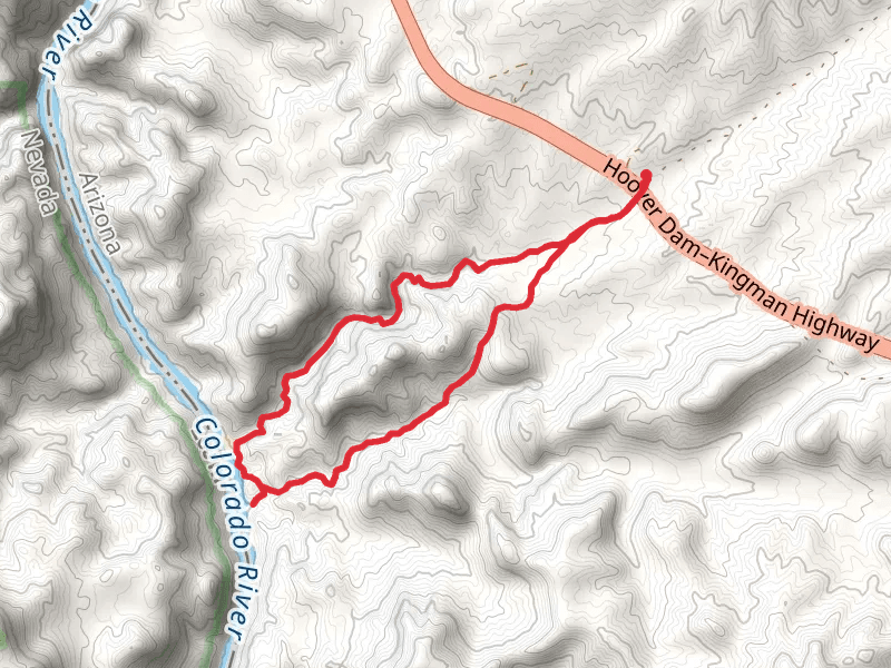
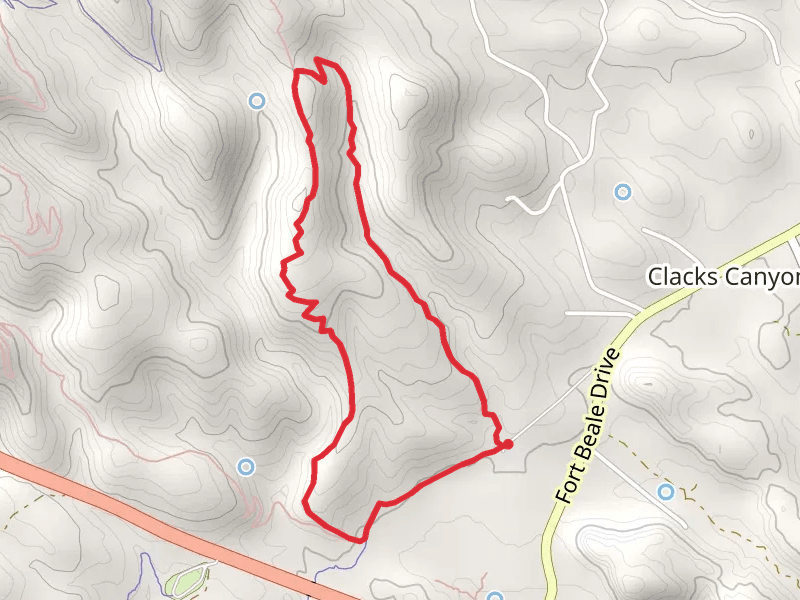
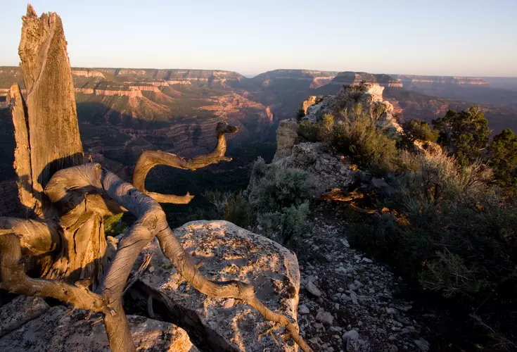
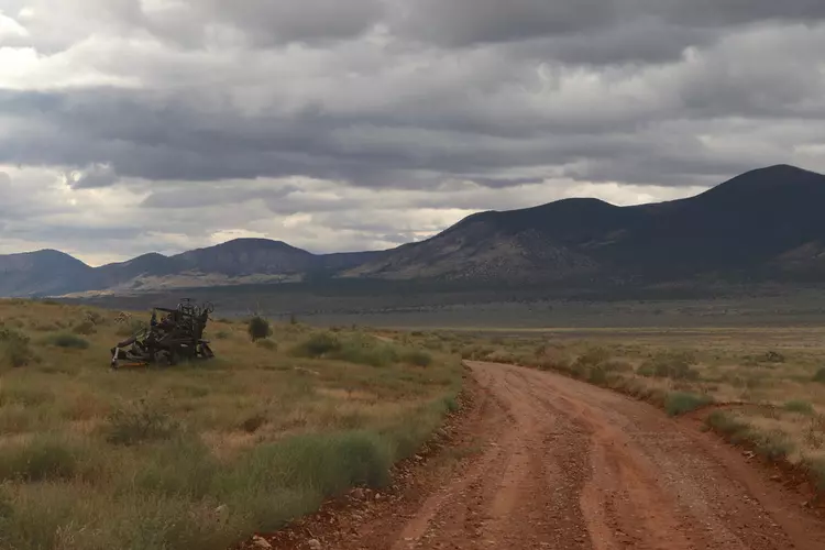
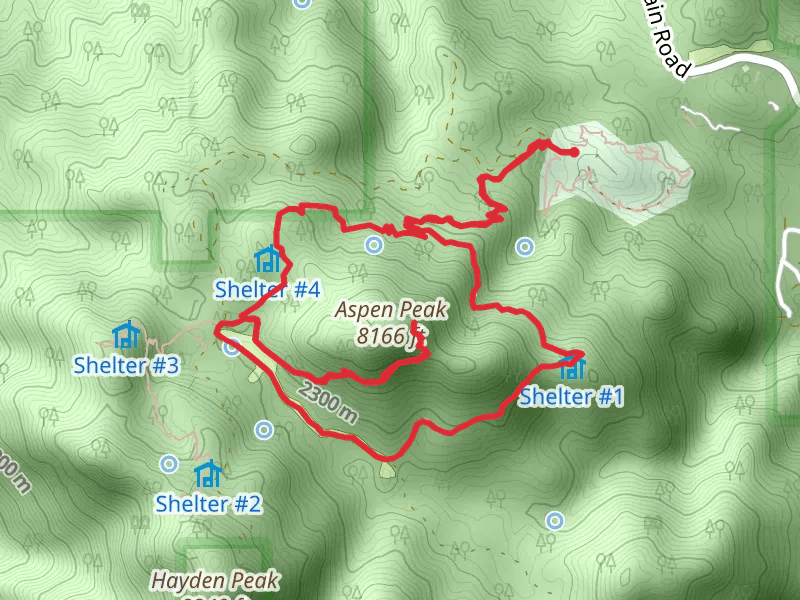
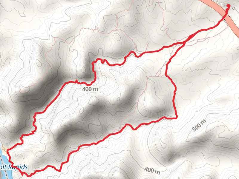
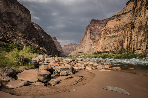
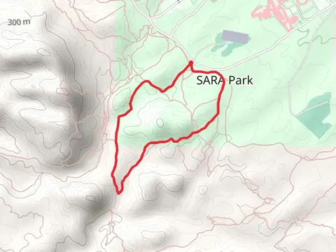
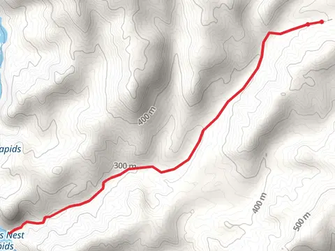
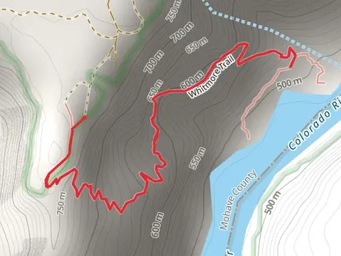
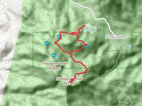
Check out some of the best hiking, walking and backpacking routes in Mohave County, Arizona. The White Rock Canyon and Springs is the most popular trail. The trails have 593 user reviews with great photos and information. There are trails of various difficulty levels including easy, medium, difficult, and extra difficult. The trail with the highest elevation climb is the Aspen Peak akd Hayden Peak via Potato Patch Walk and the trail with the least amount of climbing is the Island Ball Fields - Island Loop Trail. The longest trail is the Ranger Trail at 81.4 km. For a shorter adventure you can try the Fisherman's Walk - Turkey Cove at 968 m. Get off line access to Shop, Fastfood, Restaurant, and Water locations and much more with a Hiiker subscription.

Be prepared for hiking in Arizona with the HiiKER app