Download
Preview
Add to list
More
16.9 km
~2 days
615 m
Multi-Day
White Rock Canyon and Springs Trail
Starting Point and Access The White Rock Canyon and Springs trailhead is situated near Mohave County, Arizona, accessible by car. To reach the starting point, you'll want to navigate towards Willow Beach, which is the nearest significant landmark. From there, follow the signs directing you to the White Rock Canyon trailhead. There is no direct public transportation to the trailhead, so driving is your best option.
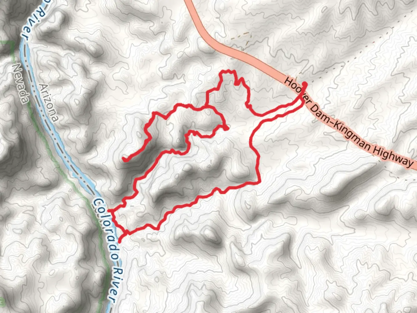
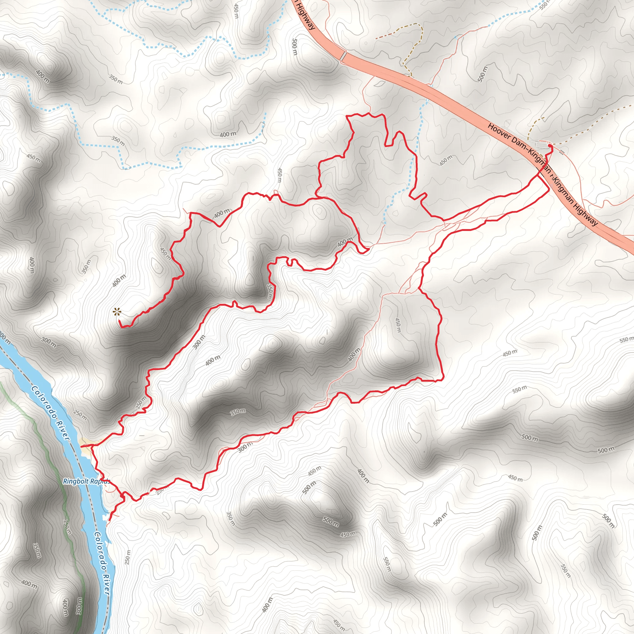
Trail Overview This loop trail spans approximately 17 kilometers (about 10.5 miles) and features an elevation gain of around 600 meters (roughly 2000 feet), presenting a challenging hike that is rated as difficult. The trail offers a mix of steep gradients and rocky terrain, which requires a good level of fitness and sturdy hiking boots.
Landmarks and Scenery As you embark on your hike, you'll be greeted by the stunning vistas of the Colorado River, which carves through the landscape creating a dramatic backdrop. The trail descends into White Rock Canyon, where the colorful rock formations and sheer cliffs provide a spectacular display of the region's geological history.
Wildlife and Nature The area is home to a variety of desert wildlife, including bighorn sheep, coyotes, and a diverse range of bird species. Keep an eye out for the unique flora as well, such as cacti and wildflowers that bloom in the spring, adding a splash of color to the arid environment.
Historical Significance The region around White Rock Canyon is rich in history. It has been home to Native American tribes for centuries, and you may come across petroglyphs and other archaeological sites along the trail. Respect these areas and remember to leave no trace.
Navigation and Preparation When planning your hike, consider using the HiiKER app to help with navigation. The app provides detailed maps and trail information that can be invaluable for staying on track. Due to the trail's difficulty and remote nature, it's essential to carry plenty of water, sun protection, and snacks. Also, be prepared for the possibility of extreme temperature changes, which are common in desert environments.
Remember to check the weather forecast before setting out and inform someone of your hiking plans. Cell service can be spotty in this area, so a physical map and compass are good backup navigation tools.
Elevation Profile The trail's elevation gain is gradual but can be strenuous, especially during the summer months when temperatures soar. The highest point of the trail offers panoramic views of the surrounding landscape, making the climb worthwhile.
Safety Tips Due to the trail's remote location and challenging terrain, it's important to hike with a companion if possible. Always stay on marked paths to protect the fragile desert ecosystem and your own safety. Watch for signs of heat exhaustion in yourself and others, and be prepared to turn back if conditions become too difficult.
By following these guidelines and preparing adequately, hikers can enjoy the rugged beauty of the White Rock Canyon and Springs trail while respecting the natural and historical significance of this Arizona treasure.
Comments and Reviews
User comments, reviews and discussions about the White Rock Canyon and Springs, Arizona.
4.67
average rating out of 5
9 rating(s)
