Hiking trails in Coconino County
Arizona · 322 HiiKER Hikes
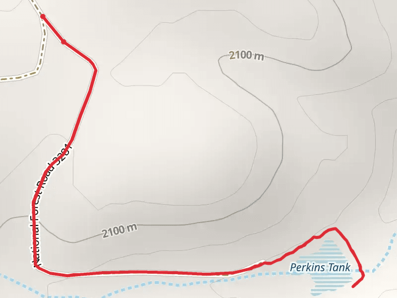
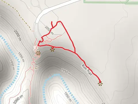
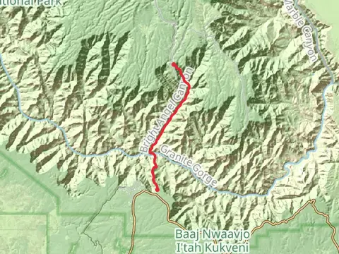
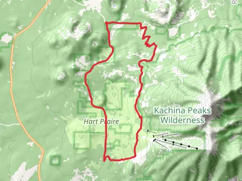
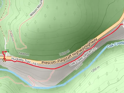
View Hikes on map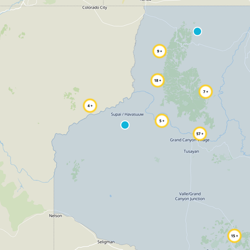
What to expect
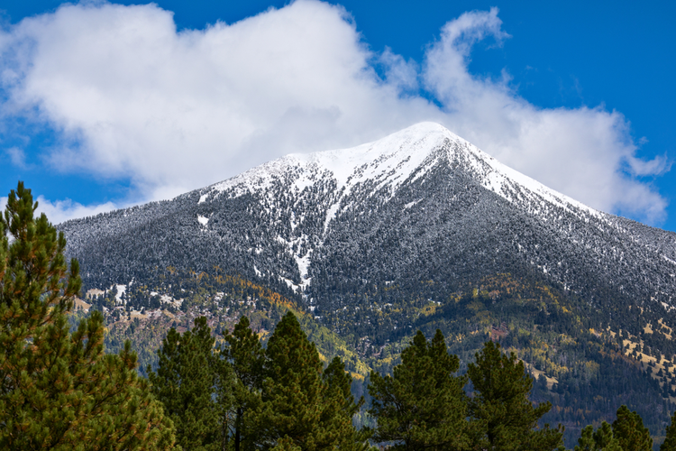
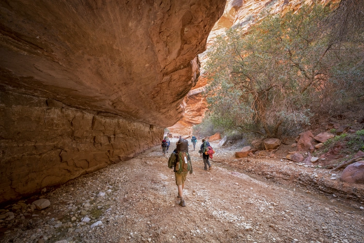
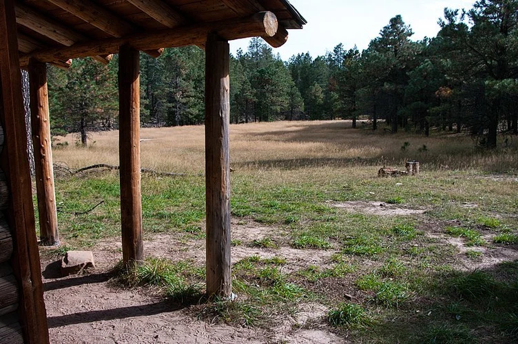
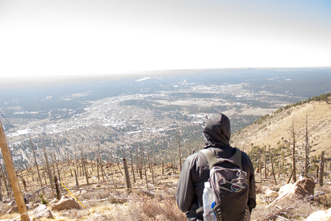
Check out some of the best hiking, walking and backpacking routes in Coconino County, Arizona. The Havasu Falls Trail is the most popular trail. The trails have 3682 user reviews with great photos and information. There are trails of various difficulty levels including easy, medium, difficult, and extra difficult. The trail with the highest elevation climb is the Humphreys Peak via Weatherford Trail and the trail with the least amount of climbing is the Arizona, River and Phantom Ranch Village Loop Trail. The longest trail is the Tonto Trail at 147.1 km. For a shorter adventure you can try the Point Imperial at 194 m. Get off line access to Shelter, Fastfood, Restaurant, and Peak locations and much more with a Hiiker subscription.
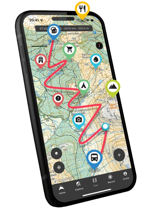
Be prepared for hiking in Arizona with the HiiKER app