Download
3D Preview
Add to list
More
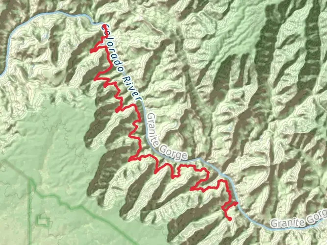
147.1 km
~6 days
2469 m
Multi-Day
The Tonto Trail is a challenging and rewarding trek that spans approximately 147 kilometers (about 91 miles) with an elevation gain of around 2400 meters (roughly 7874 feet). This point-to-point trail is situated in the heart of the Grand Canyon, starting near Coconino County, Arizona. It is rated as difficult due to its length, exposure, and the need for careful planning regarding water sources and camping spots.
Getting to the Trailhead
To reach the trailhead, hikers can drive to the Grand Canyon National Park. The primary starting point is near the South Kaibab Trailhead, which is accessible by the park's shuttle service from the Grand Canyon Visitor Center. For those coming by car, parking is available at the visitor center, and from there, the shuttle can be taken to the trailhead. Public transportation options are limited, so driving or using the park's shuttle service is the most practical way to reach the starting point.
Trail Description
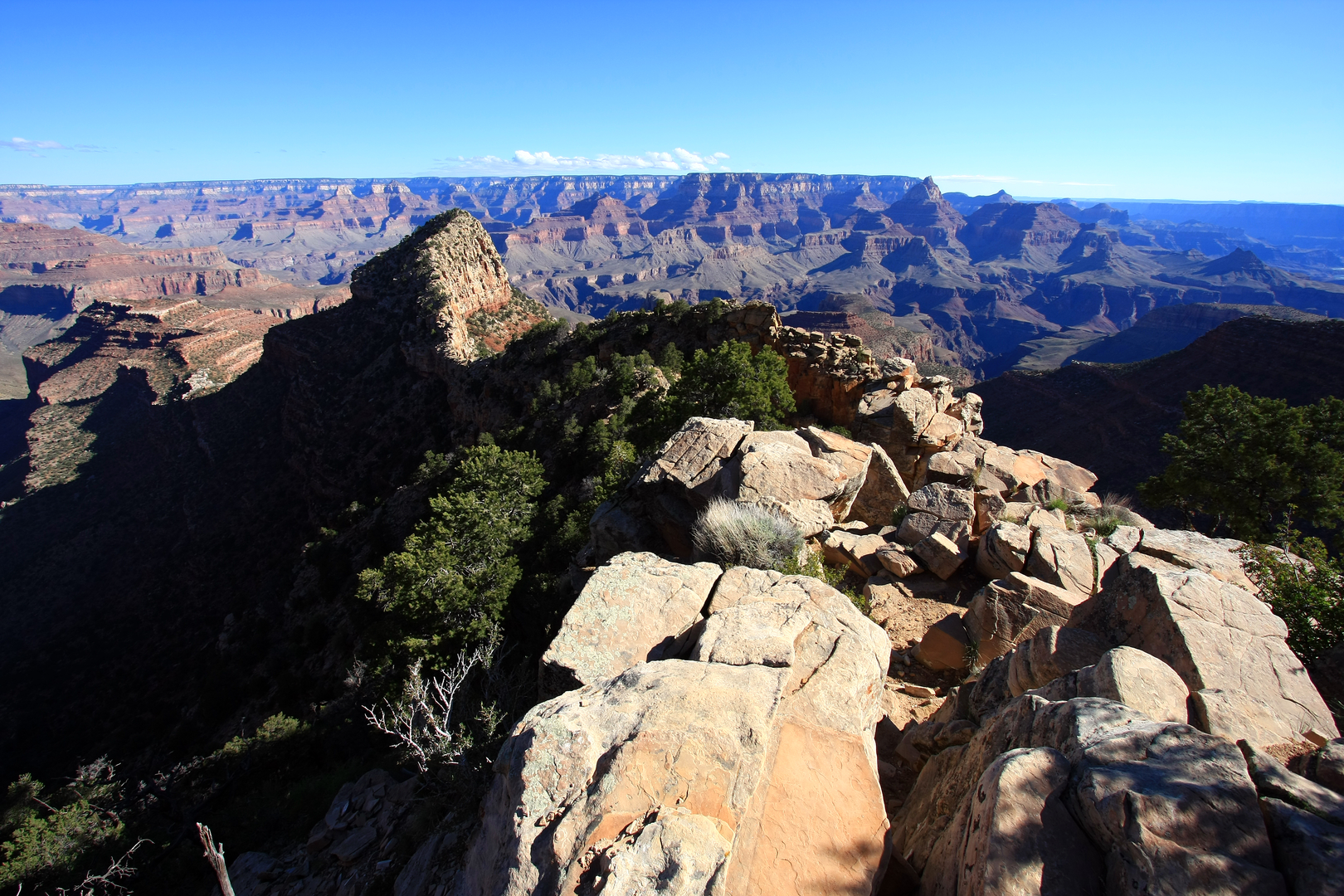
The Tonto Trail offers a unique perspective of the Grand Canyon, traversing the Tonto Platform and providing hikers with stunning views of the inner canyon. The trail is not a rim-to-rim hike but rather runs parallel to the Colorado River, offering a more in-depth exploration of the canyon's geology and environment.
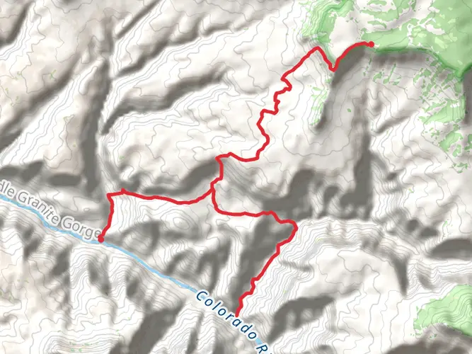
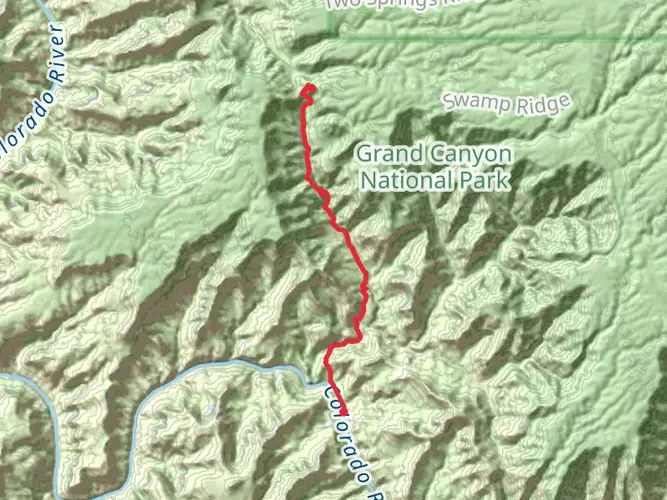
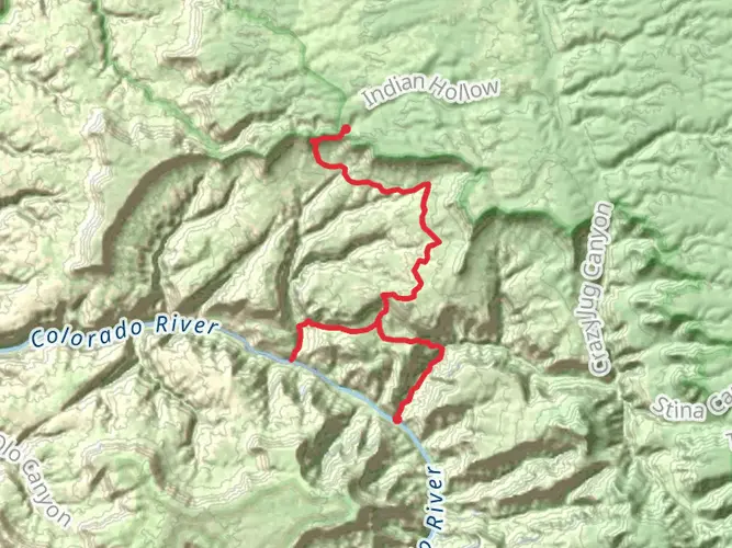
Starting from the South Kaibab Trailhead, hikers will descend into the canyon, where they will connect with the Tonto Trail after approximately 7.5 kilometers (4.7 miles). The trail then meanders westward, with the Colorado River often in sight below. The path is characterized by its rolling terrain, with occasional steep descents and ascents as it crosses drainages that feed into the river.
Landmarks and Natural Features
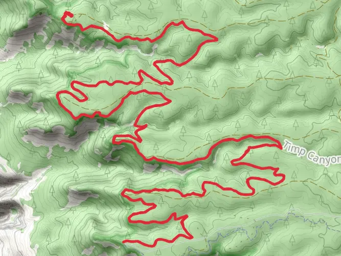
One of the most significant landmarks along the Tonto Trail is Horseshoe Mesa, which provides panoramic views and a sense of isolation within the vast landscape. The trail also passes through several side canyons, including the beautiful and secluded Grapevine, Boulder, and Lonetree canyons.
Wildlife and Flora
The Tonto Trail is home to a variety of desert wildlife, including mule deer, bighorn sheep, and a range of reptiles and birds. The flora along the trail is typical of the desert environment, with cacti, yucca plants, and hardy shrubs dotting the landscape.
Historical Significance
The Grand Canyon, including the Tonto Trail, holds deep historical significance for the Native American tribes that have lived in the region for thousands of years. The trail itself crosses through land that has been shaped by natural forces over millions of years, offering a glimpse into the Earth's geological past.
Navigation and Preparation
Due to the trail's length and remote nature, hikers should be well-prepared with adequate supplies, particularly water. There are few reliable water sources along the route, so careful planning is essential. Hikers can use the HiiKER app to help with navigation, as it provides detailed maps and waypoints that can be crucial for a successful journey.
Safety and Regulations
Hikers should be aware of the extreme temperatures that can occur in the Grand Canyon, with hot summers and cold winters. It is vital to check the weather forecast and prepare accordingly. Permits are required for overnight camping, and hikers should follow Leave No Trace principles to minimize their impact on the environment.
The Tonto Trail offers an immersive experience in one of the world's most iconic landscapes. With its challenging terrain, breathtaking views, and rich history, it is a must-hike for those seeking a true adventure in the Grand Canyon.

What to expect?
Activity types
Comments and Reviews
User comments, reviews and discussions about the Tonto Trail, Arizona.
4.8
average rating out of 5
5 rating(s)