Search a hike or location
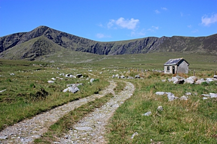
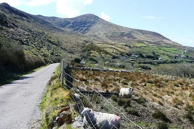
Caunoge Mountain
County Kerry, Ireland
Meentog South - East Top Loop
Meenteog South - East Top
Teeromoyle Mountain and Been Hill Loop
Mullaghnarakill and Drung Hill Loop
Been Hill and Beenmore Loop
Mullaghnarakill and Beenmore Loop from The Kerry Way
Mullaghnarakill and Beenmore Loop via The Kerry Way
Beenmore Loop via The Kerry Way
Macklaun and Drung Hill Loop
Here are some great hikes to explore in County Kerry.
Medium
County Kerry, Ireland · star 4.6 (19) · 5.7 km · Est. 1 hrs 42 min
Difficult
County Kerry, Ireland · star 4.6 (15) · 4.0 km · Est. 1 hrs 23 min
County Kerry, Ireland · star 4.8 (20) · 5.0 km · Est. 1 hrs 35 min
County Kerry, Ireland · star 4.4 (9) · 14.7 km · Est. 4 hrs 30 min
County Kerry, Ireland · star 4.4 (20) · 12.3 km · Est. 3 hrs 41 min
County Kerry, Ireland · star 4.6 (18) · 9.9 km · Est. 3 hrs 12 min
County Kerry, Ireland · star 4.3 (20) · 12.2 km · Est. 3 hrs 33 min
County Kerry, Ireland · star 4.4 (14) · 14.4 km · Est. 4 hrs 17 min
County Kerry, Ireland · star 4.5 (21) · 8.2 km · Est. 2 hrs 43 min
County Kerry, Ireland · star 4.4 (22) · 23.9 km · Est. 6 hrs 45 min
BluffMountainlover34 · reviewed over 2 years ago
star star star star star
HikerNomad17 · reviewed over 2 years ago
AshAlpinist77 · reviewed almost 2 years ago
RidgeExplorer55 · reviewed about 2 years ago
DriftwoodSummitview84 · reviewed about 2 years ago
by difficulty
by type
by activity
Choose which optional cookies and similar technologies HiiKER can use on this device. Privacy & cookie policy
Sign-in, security, checkout, support chat when you open it, and remembering these choices.
Google Analytics and PostHog (our own EU-hosted analytics) — which pages are visited and how features are used, so we can improve HiiKER.
Google Ads, Meta, Reddit and X pixels and Rewardful referral tracking — they tell those platforms when someone arrives from, or buys after, one of our ads or referrals. Turning this off opts you out of the "sale" or "sharing" of your personal information for targeted advertising.