Search a hike or location
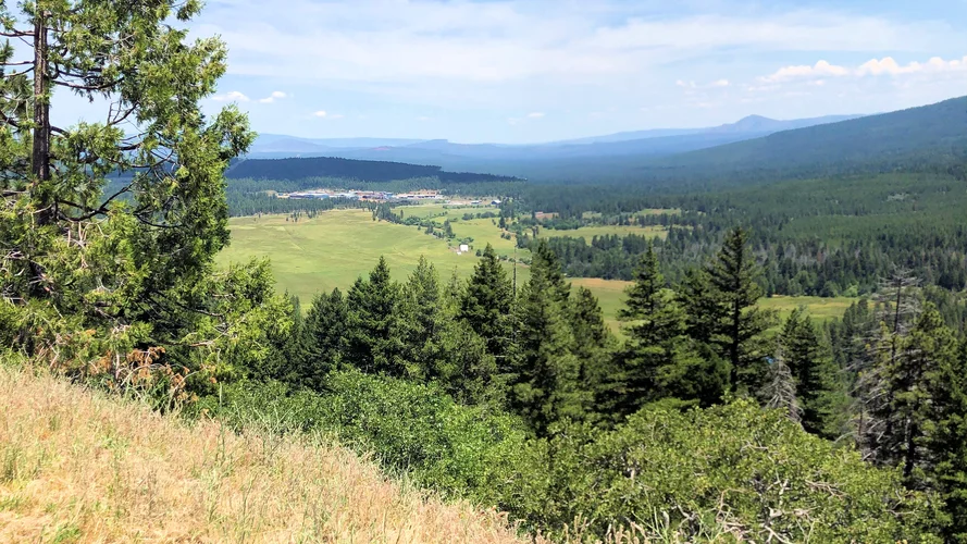
Burney Mountain via Forest Route 34N14
Shasta County, California
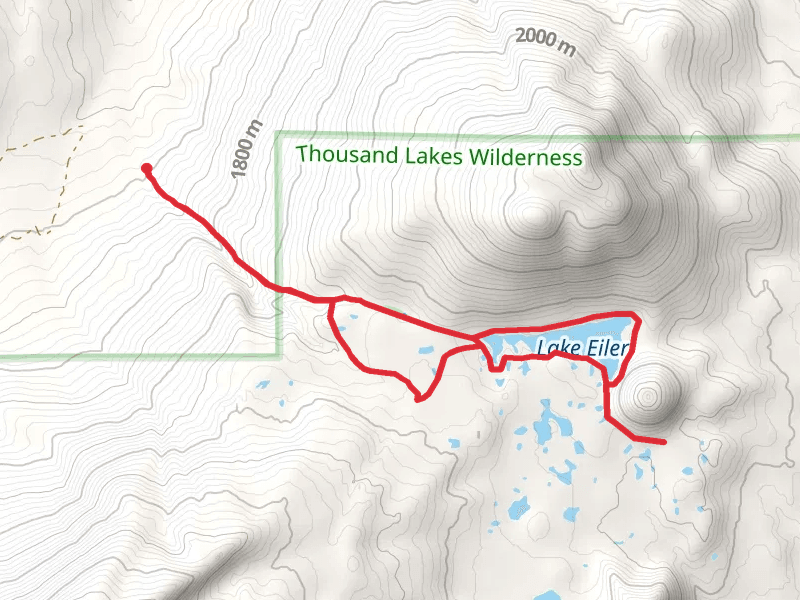
Lake Eiler Loop
Box Lake, Lake Eiler and Eiler Butte LoopOut and Back
Magee Peak
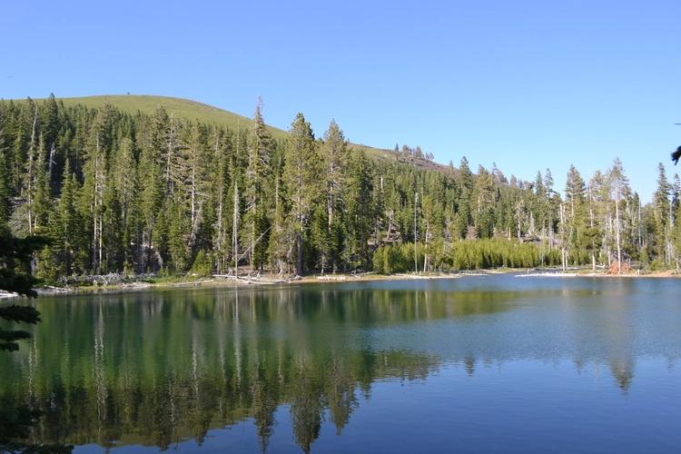
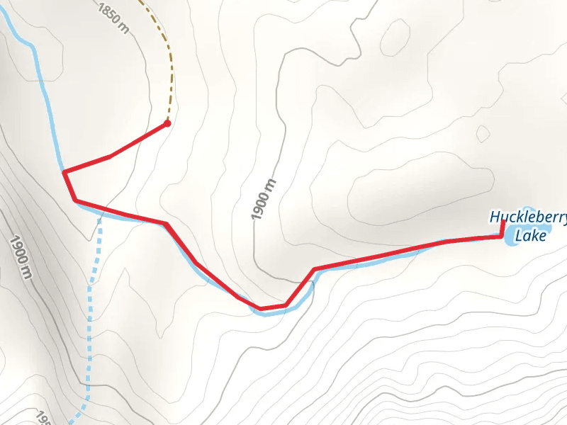
Huckleberry Lake
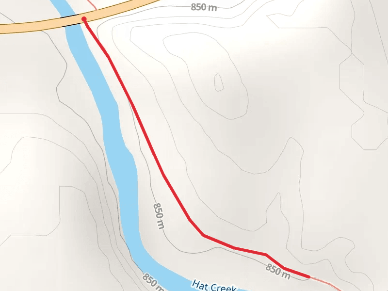
Hat Creek from State Route 299
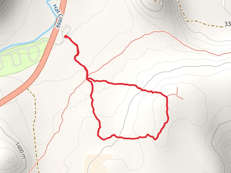
Spatter Cones Trail Loop
Subway Cave Loop
Burney Creek via Falls Loop Trail
Headwater Lake, Headwaters and Falls Loop Trail
Here are some great hikes to explore in Shasta County.
Medium
Shasta County, California · star N/A (0) · 28.6 km · Est. 7 hrs 25 min
Shasta County, California · star 4.0 (2) · 10.9 km · Est. 2 hrs 47 min
Easy
Shasta County, California · star 4.5 (2) · 11.1 km · Est. 2 hrs 39 min
Difficult
Shasta County, California · star 4.7 (3) · 9.0 km · Est. 3 hrs 4 min
Shasta County, California · star N/A (0) · 3.3 km · Est. 48 min
Shasta County, California · star 5.0 (1) · 1.3 km · Est. 17 min
Shasta County, California · star 4.0 (1) · 2.4 km · Est. 35 min
Shasta County, California · star 4.6 (5) · 1.1 km · Est. 14 min
Shasta County, California · star 4.6 (5) · 1.8 km · Est. 30 min
Shasta County, California · star 4.2 (6) · 4.3 km · Est. 1 hrs 1 min
No reviews available for Burney Mountain via Forest Route 34N14.

HorizonClimber31 · reviewed over 2 years ago
star star star star star
GlacierFjordfinder37 · reviewed over 2 years ago

MeadowScrambler44 · reviewed almost 2 years ago
No reviews available for Huckleberry Lake.
by difficulty
by type
by activity
Choose which optional cookies and similar technologies HiiKER can use on this device. Privacy & cookie policy
Sign-in, security, checkout, support chat when you open it, and remembering these choices.
Google Analytics and PostHog (our own EU-hosted analytics) — which pages are visited and how features are used, so we can improve HiiKER.
Google Ads, Meta, Reddit and X pixels and Rewardful referral tracking — they tell those platforms when someone arrives from, or buys after, one of our ads or referrals. Turning this off opts you out of the "sale" or "sharing" of your personal information for targeted advertising.